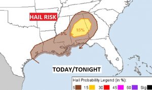
Severe Thunderstorms Watch till 9PM. Large hail and damaging wind gists are the main threat.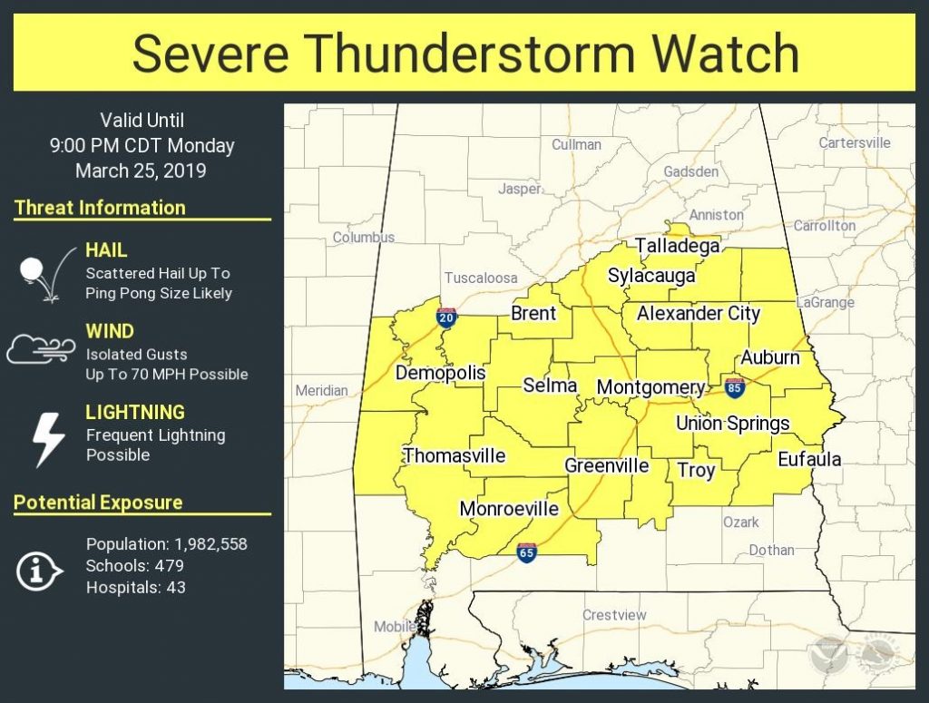
Good Morning! The first storm system in more than 10 days will affect the state today with a Severe Weather Threat. Some supercell thunderstorms could produce wind damage and perhaps large hail. On this video, I have the latest threat level from the Storm Prediction Center. We’ll look at the potential time window. It looks we are easing into more active pattern with perhaps 4 storm systems in the next 15 days. Are we done with cold nights? Maybe not. I’ll show you a few nights that need to be watched.
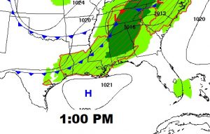
Approaching Cold Front will be the catalysis for strong to severe storms today.
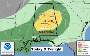
The Storm Prediction Center has gone up a notch on the severe weather risk in central Alabama this afternoon this afternoon and this evening. The primary threats in this situation are damaging wind gusts and large hail. The primary threat window will be about 1PM to 8PM. Particularly late afternoon and early evening. The tornado threat is slim in this situation.
Cooler air is on tap behind the front. Chilly mornings on Wednesday and particularly Thursday morning. Nice warm-up Thursday & Friday. Next storm system this weekend.
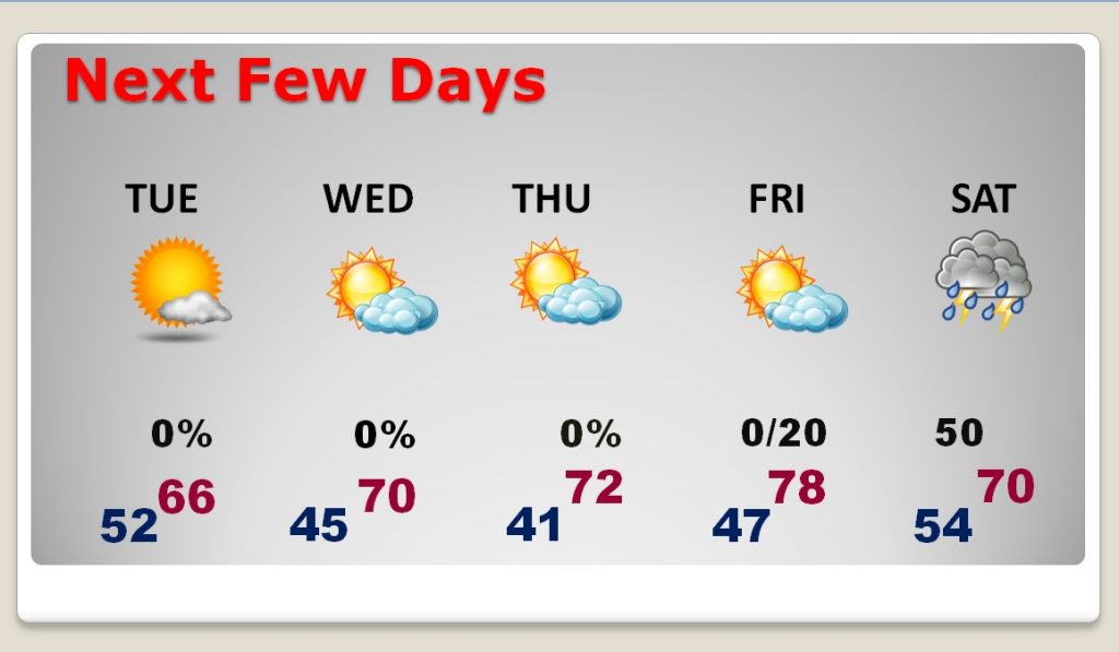
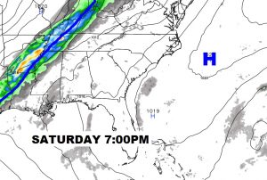
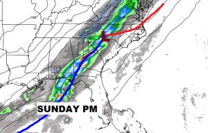
Showers and thunderstorms return by Saturday evening and Saturday night. Too early to say if there will be a severe weather threat.
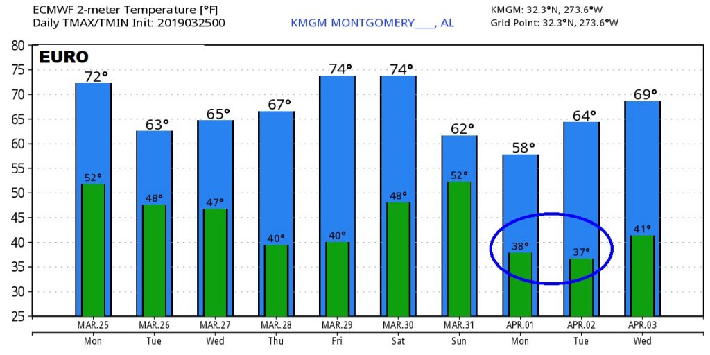
Raw numbers off the Euro model suggest a couple of mornings in the 30’s are possible by about April 1 & 2nd.