Good Morning! That slow moving storm systems continues to affect Alabama today. The threat of showers and storms continues today, although the severe weather threat will shift east of the state. We’ll look ahead to a nice Wednesday and Thursday. There may be a line of storms moving through our state Friday. we’ll I’ll update you on a couple of potential severe weather threats looming in the next 10 days. The first one arrives on Sunday. And, there could be another one in the middle of next week. I’ll cover it all for you on your Tuesday morning personal weather briefing.
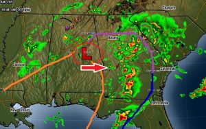
The slow moving storm system rotates toward the Georgia border and eastward today. The threat of showers and perhaps a thunderstorm or two will continue.

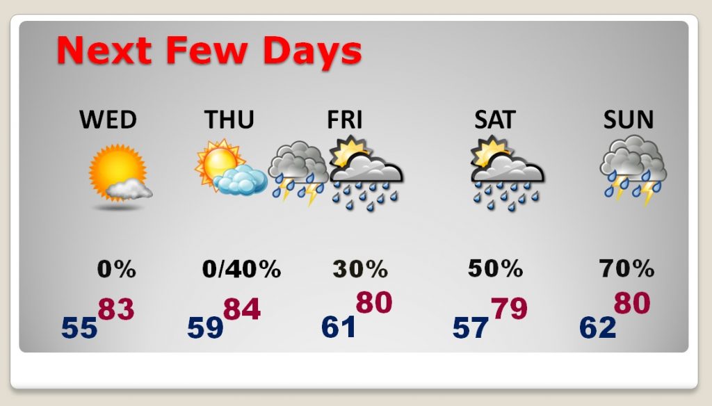
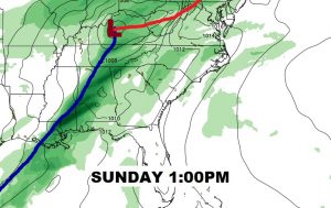
Nice day Wednesday & Thursday. A line of storms could move through the state in the overnight hours Thursday night into Friday. Scattered storms and t’storms with a northward moving front Saturday. And a Potential Severe Weather Event is shaping up for Sunday.
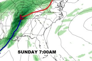
It’s too early to be specific, but there is a growing threat of severe weather, including a tornado threat on Sunday. The time line is a little faster now. More about the specifics and details as we get closer.
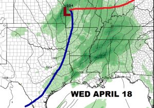
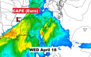
More than a week away, there is another severe weather threat looming in the middle of next week, sometime around Wednesday the 18th. The set-up looks concerning.
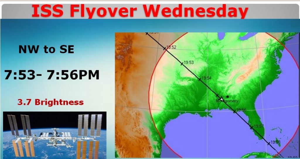
Absolutely stellar space station flyover Wednesday evening. Very bright. I’ll remind you tomorrow.
