Good Morning! We’re going to enjoy another quiet weather day today, with highs in the 80’s. Meanwhile, all eyes are on the weekend storm system, which will bring a significant severe weather threat across the South, and into Alabama by early Sunday, including the threat of tornadoes. On this video, I have an update on timing and the expected threat level. I have some good information for you. Plus, could there be yet another severe weather threat for us to deal with by the middle of next week? Unfortunately, that’s certainly possible. I’ll show you what we know now.
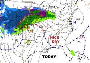
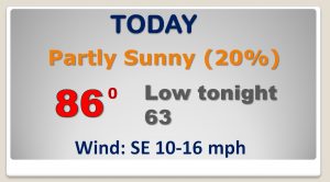
Another quiet day today with highs well int the 80’s Historic April storm in the north central US.
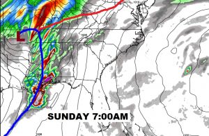
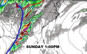
Powerful evolution of the weekend severe weather threat, as depicted by the EURO model as the storm system moves into MS Sunday morning and into western Alabama Sunday afternoon.
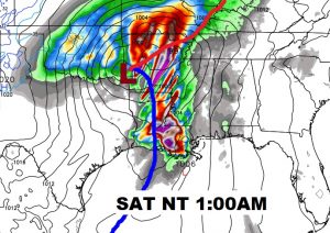
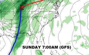
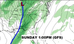
The GFS model is a little faster and less ominous. We hope this model solution is correct.
Here’s the SPC Severe Weather Threat map through 7AM Sunday morning.
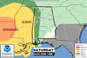
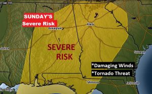
SPC Severe weather risk area for Sunday includes most of Alabama, from 7am through the afternoon at least. Damaging winds and tornado threat.
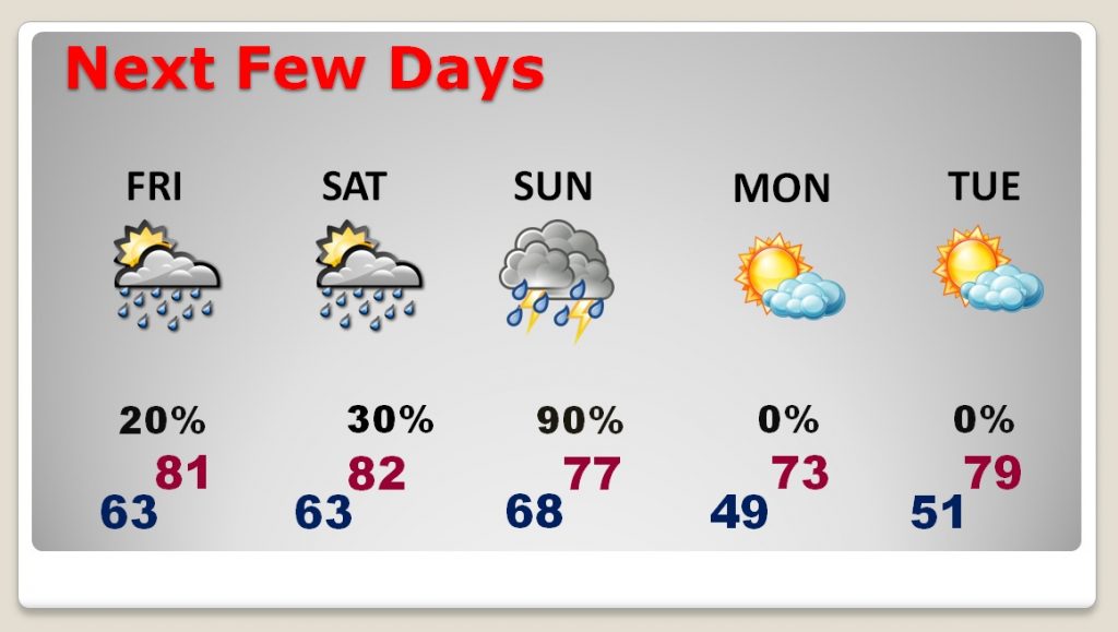
Nice weather returns Monday & Tuesday after the storms Sunday.
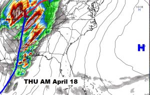
Another strong to potentially severe weather situation by next Wednesday night into Thursday the 18th.
