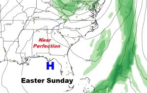
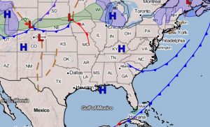
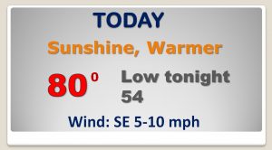
Good Morning! After a nearly perfect Monday, looks like we’ll do it again today. We are enjoying a quiet/nice start to the week, but looming, is yet another severe weather threat arriving in Alabama by Thursday afternoon/Thursday night. Once again we’re going to have to be watchful for all modes of severe weather including a tornado threat. On this video, I have the latest outlook from the Storm Prediction Center, and we’ll update timing. Plus, I’ll preview what looks like a nice Easter weekend.
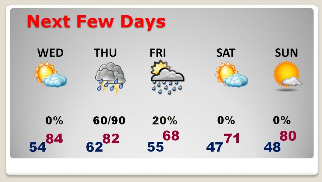
Enjoy another text book perfect day today.
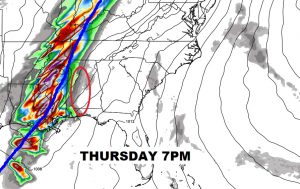
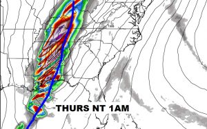
Strong thunderstorms could develop out ahead of the main line late Thursday and Thursday evening. Looks like a stormy Thursday night.
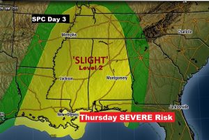
SPC has us in the Level Two Severe Risk area again. That’s the same risk level we were in Sunday when Alabama has at least seven tornadoes. ALL modes of severe weather are again possible Thursday and Thursday night.
Warmest day is Wednesday. Severe weather threat late Thursday and Thursday night. Breezy and cool Friday..risk of showers. Cool but nice Saturday and nearly PERFECT on Easter Sunday.