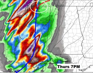
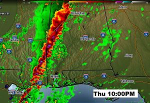
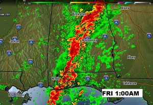
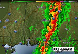
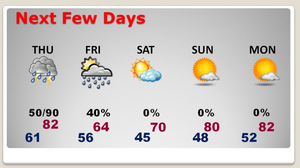
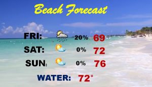
Good Morning! We are batting a thousand this week on the nice weather days, so far. Enjoy today! Because, the next system will affect the state by late tomorrow. This storm will produce tornadoes in the nation’s mid-section today, and severe threat will reach Alabama late Thursday & Thursday night. On this video, I have new threat level from the Storm Prediction Center, which has increased a notch, for a big chunk of our state. I’ll show you Future Radar. Plus, we’ll look ahead at what looks a great Easter Weekend forecast for here and the Gulf Coast Beaches.
We’re going to enjoy another quiet, warm today. Meanwhile there could be a significant tornado outbreak in the nation’s mid section spreading east tomorrow.
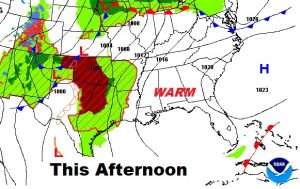
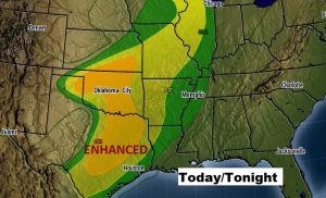
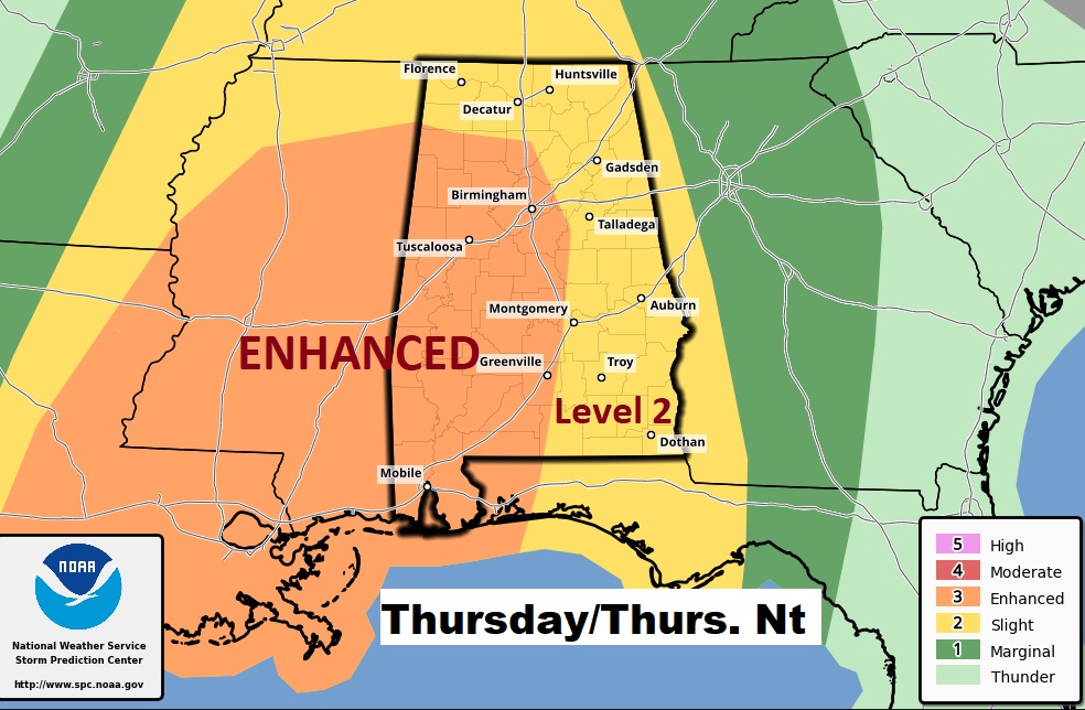
The Severe Threat Level from SPC for Thursday PM and Thursday night has increased to an ENHANCED risk, now, for all of the state along and west of about I-65, including the risk for tornadoes. Severe thunderstorms with damaging wind gusts included.