To all the Mom’s out there – Happy Mother’s Day! It’s a good day to stay weather aware. A frontal system in NW Alabama pre-dawn, will slide across the state during the day. That’ll be the focus for some strong to severe storms, this morning through about Mid Afternoon for most of us. The storms should exit our state by evening. Then, get ready. We have an exciting string of beautiful days in our future this week.
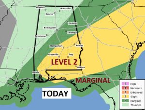
TODAY: A tropical airmass is in place. The action begins early, as clusters of storms move through. Additional activity will develop later this morning and into the afternoon. Here’s the Severe Weather Outlook from the Storm Prediction Center. Marginal Risk for all of the state from I-20 southward. Notice the Level 2 Risk is mainly along and south of a Alex City – Selma Line. The primary risk is for damaging wind gusts and quarter size hail. The threat window runs roughly from about 9AM through the rest of the afternoon.
I hesitate to show you Future Radar. This is just one model solution, giving a general idea on timing. Don’t take this literally. The details could unfold very different.
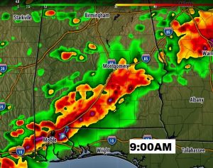
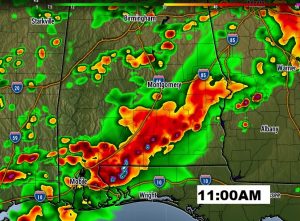
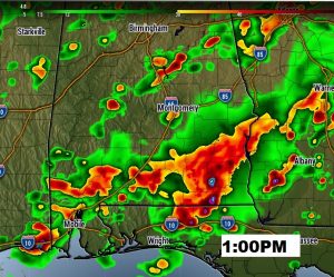
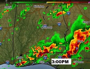
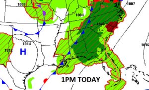
The shower threat fades by evening, as drier air comes in behind the front. High today 80, low tonight 61. Here’s the frontal position at 1PM today.
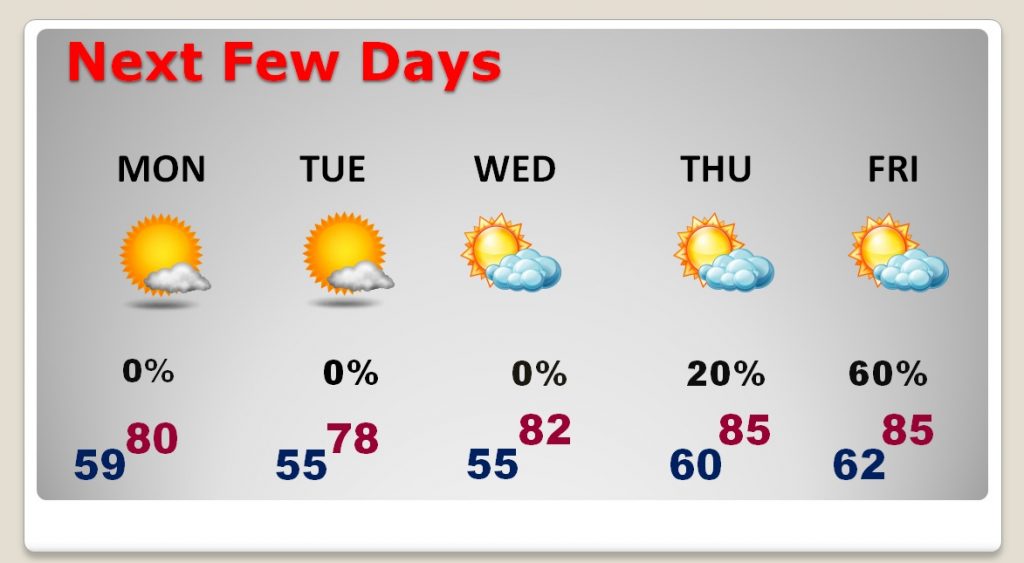
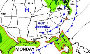
NEXT FEW DAYS: We are in for a treat! Some really nice air, behind the front, will set the stage for some less humid, comfortable days and pleasantly cool night. A weak front could deliver a couple of showers Thursday evening or Thursday night, but the chances are small. By the way, this will also be a beautiful week down at the Beach!
—
I’ll have a complete video update Monday morning, online by 4:45AM. We’ll focus in on the details of the week ahead, and take a peek into next weekend. Happy Mother’s Day!
–Rich
