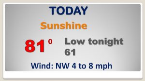
Good Morning! Our “coolness” will fade, as Alabama starts to warm up over the next few days. While it’s essentially a dry forecast for the next few days, models are hinting a thunderstorm complex entering Alabama overnight tonight. I’ll show you future radar trends. If you have weekend plans outside, the news is good for here and the Gulf Coast. And, ready or not, an early taste of some real summer heat may be right around the corner. I’ll run it all down for you, in a couple of minutes, with your toast and coffee this morning on your Wednesday personal weather briefing.
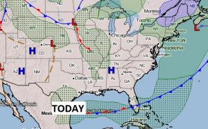
Another beautiful day here today with low humidity. A disturbance in the middle of the nation will send a thunderstorm complex southeast toward Alabama. The storms should generally start to fall apart before reaching central Alabama early tomorrow morning.
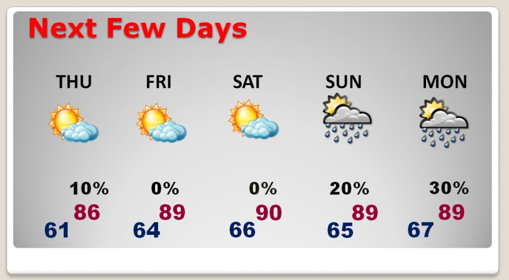
I have the Thursday rain chance very small, as we warm into the mid 80’s Feeling more like summer Friday through Sunday with warmer days & more humidity. Small rain chance by late Sunday and spotty showers possible Monday.
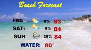
GREAT Beach Forecast this weekend…
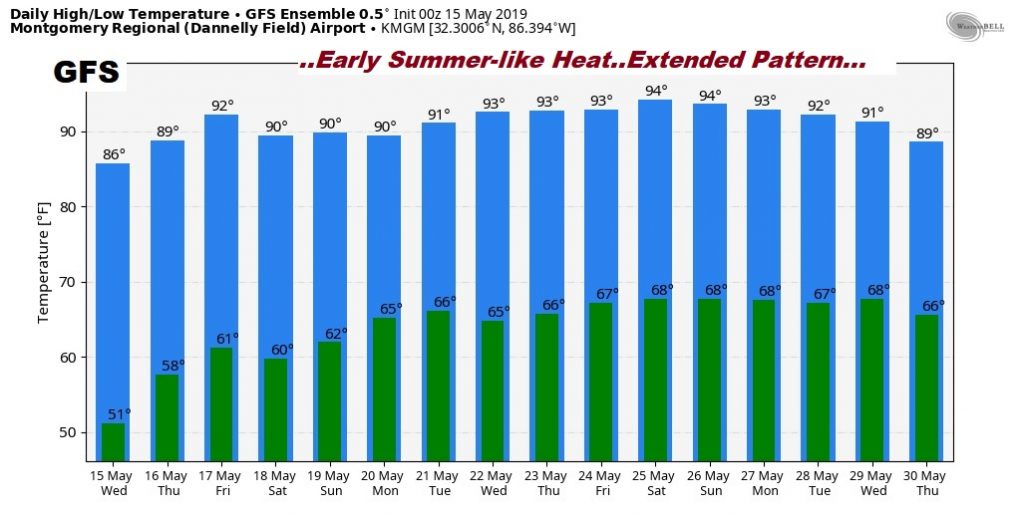
The GFS raw temperature guidance advertises a very summer-like pattern developing over the next two weeks.