It’s been a very wet and stormy past 24 hours. Many of you have had multiple storms, with very heavy rainfall. Overnight there was quite a light show in central Alabama. There’s much more rain in our future, at least through Monday, and even some leftover storms possible on Tuesday. Below, I’ll show you how much more rain we could see.
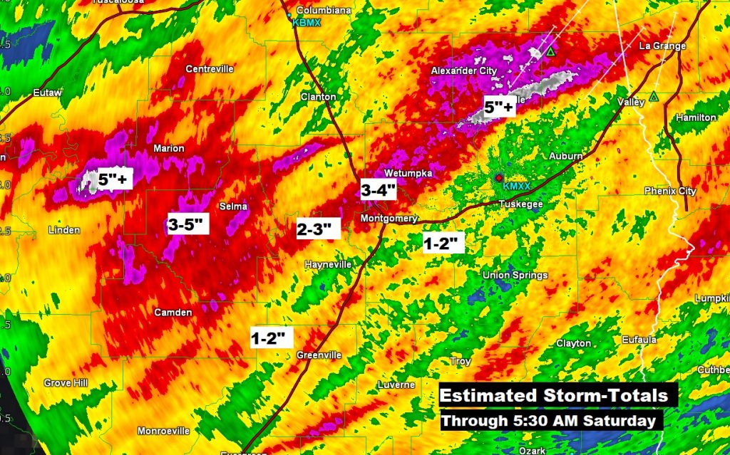
How much rain have we seen so far? Doppler radar rainfall estimates that many spots between Tallapoosa county and Dallas county have received 3-4″, and some spots are over 5″. There’s a lot more expected rain over the next 4 days. Localized flooding can’t be ruled out.
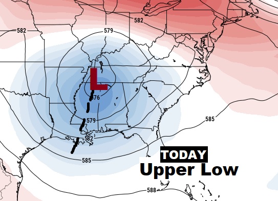
What’s causing this? A Cold upper low & trough in the upper atmosphere just west of us is the culprit. We’re on the wet side of it. It’s stuck. It won’t leave our neighborhood until mid week.
TODAY: Periods of showers and storms. Tropical downpours at times. There will be many dry intervals between storm clusters. Highs 85 to 87. Low tonight 71.
Here’s one computer model showing waves of thunderstorms moving through the region. (between 9AM Saturday and Noon Sunday)
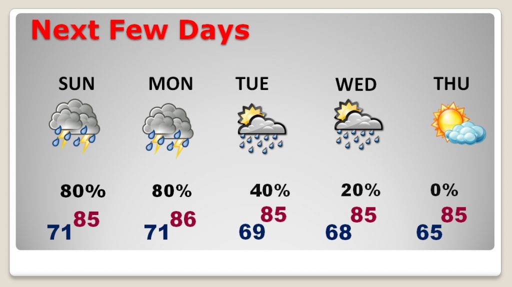
NEXT FEW DAYS: The wet pattern continues through at least Monday. In fact, there could be some leftover scattered storms Tuesday. Storms thin out Wednesday. Back to a dry forecast Thursday.
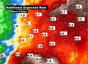
Here’s the potential Future Rainfall, on top of what we’ve already received. Many of us could see 2-3 more inches before it ends. Look at the expected rain near the coast. Wow.
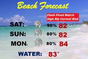
BEACH FORECAST: Pretty bad. Flash flood watch. High rip current risk. Tropical downpours.
– –
I will have another forecast update on Sunday morning. Our weather app will keep you up-to-dat. It will show you where the storms are now, and where they will be over the next few hours. Plus, instant push notifications for severe weather alerts. In spite of the rain, I hope you have a nice weekend!
-Rich
