9:30 UPDATE:
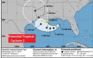
NHC issues Advisory Number 1 on Potential Tropical Cyclone Two. The system could become a depression today, and maybe tropical storm Barry Thursday, and a potential Hurricane by Friday. Tropical Storm Watch issued for parts of Louisiana coastal area. Could reach the LA coast Saturday night as a Cat 1 hurricane. Air Force Recon will visit the system this afternoon.
Although the system will pass south of Alabama, some of the tropical moisture plume will enhance our rain chance, for the next few days, especially Thursday through Saturday.
https://www.nhc.noaa.gov/text/refresh/MIATCPAT2+shtml/101437.shtml …
PREVIOUS MORNING UPDATE:
Good Morning! That developing tropical system in the Gulf could become a depression late or tomorrow. Although this system will pass south Alabama, the tropical moisture will interact with an approaching front. The bottom line is much improved rain chances, especially Thursday through Saturday. That’s certainly good news for Alabama farmers. (and the rest of us, too!) On this video, I have a lot of good information. I have the latest future track for what could become Tropical Storm Barry. I have updated our rain chance through the weekend.
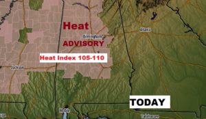
Yesterday Montgomery had a high of 100 degrees with a Heat Index of 110. Today will be another crazy hot day. Heat Advisory in effect again.
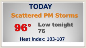
NHC says there’s a decent chance the Gulf tropical system will become a Depression late today or tomorrow. RECON will investigate this afternoon.
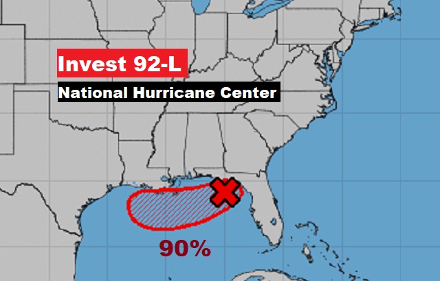
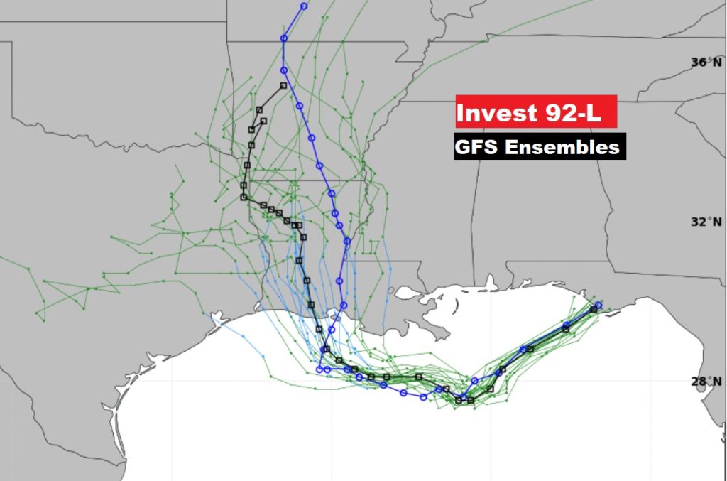
Both the GFS and the EURO signal that the Louisiana coast is the likely destination for potential future Tropical Storm Barry.
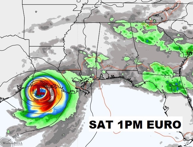
Alabama will be caught in a Tropical Squeeze Play between the Low to the south and the front to the north. That will lead to excellent rain chances, especially Thursday through Saturday.
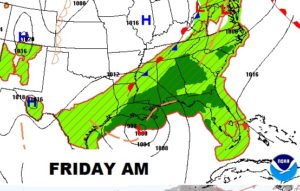
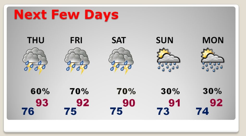
I have taken the rain chance pretty high through Saturday. Then back to the standard 30% chance Sunday and Monday. High temperatures will be closer to normal.
