Good Morning! We have a rare Summer Treat in our future this week. Soon, a cool front will enter the state and deliver at least a couple of days of lower humidity, cooler nights and nice days. Stand by. It rarely happens in Alabama in the summer. On this video, I’ll bring you up to date on the time line and the details. First we have to deal with a stormy Tuesday as the front approaches. How long will the nice air be around? We have much to discuss on your Monday morning weather briefing.
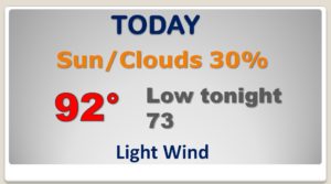
Watching that Cool Front advance southward today from the Ohio valley toward the Tennessee Valley. For us locally, though, today is a routine summer day.
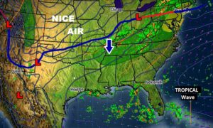
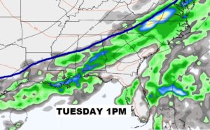
Stormy on Tuesday, as the cool front enters the state and heads southward. It reaches the coast by Wednesday morning, delivering some really nice air for a couple of days.
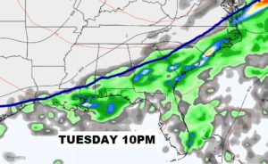
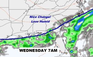
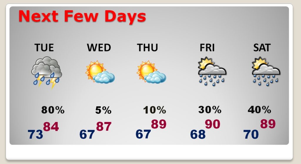
Wednesday and Thursday will be nice. Low humidity. Comfortable days, cooler nights. Moisture & humidity start to creep back Friday afternoon. Over the weekend all this nice air will be a memory….like it never happened. Scattered Storms will be back.
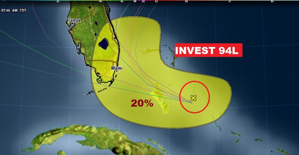
NHC is tracking Invest 94L in the Bahamas. They are giving it a low 20% chance of development next 5 days. It will encounter some stronger upper level winds.
