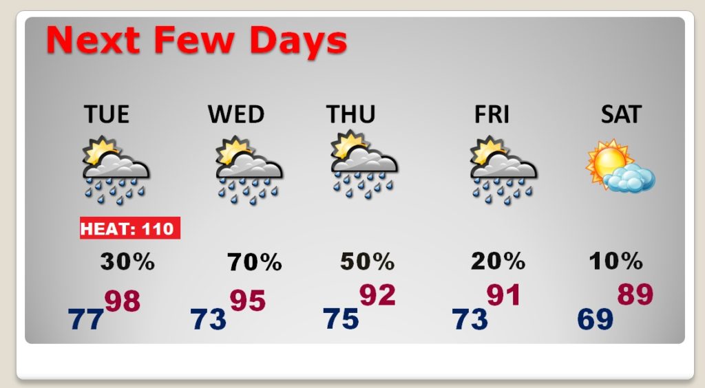
Good morning! Hang on. We could see the highest indices of the summer today and tomorrow. Very dangerous levels. Meanwhile, the best rain chances of the week of the week will arrive Wednesday as a front approaches. Will this front make it all the way through and down to the coast? Some key indicators suggest it could! What will that mean to our forecast? What’s the timing? We have an interesting week ahead and much to talk about this week on your Monday morning video, with your toast and coffee this morning.
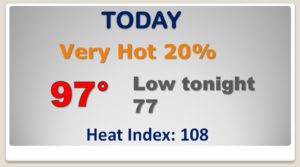
Heat Advisory continues. Heat index 108-111. Storms will be spotty…in the 20-30% range.
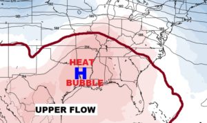
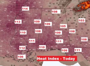
Tomorrow we will be very close to the criteria of a Critical Heat Warning. Heat index 111-114.

Frontal Relief? Could a meaningful front make it all the way to the coast and deliver brief heat relief by late week? Some major indicators suggest that’s certainly very possible.
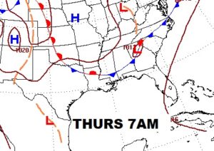
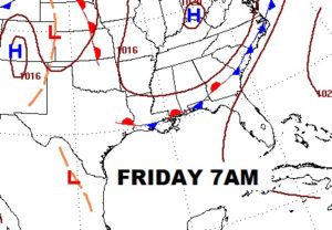

Extreme Heat levels through Tuesday. Best Rain chance Wednesday. Then frontal relief late week? Lower humidity and heat relief Friday & Saturday.
