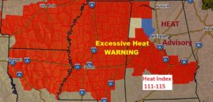
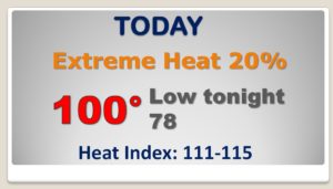
Good morning! It’s been seven years since we’ve had an Excessive Heat Warning . The heat index could be as high as 115 today. But, hang on. A frontal system will moves through the state Wednesday, with a good chance showers and storms. This rare summer front will likely make it all the way to the coast on Thursday. We should see a noticeable improvement in our extreme heat and humidity levels for 2-3 days. On this video, I’ll break down the details and we’ll look at timing. What about the weekend? Good information contained on your Tuesday morning video.
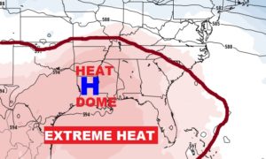
Extremely dangerous heat today. Heat index 111 to 115. Widely scattered storms…
Showers and storms will be scattered to numerous tomorrow ahead of a southward moving front. Some storms could reach severe limits.
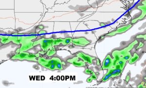
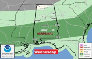
The front moves all the way down to the coast by Thursday, bringing some brief relief to the northern 2/3 of Alabama. The humidity and heat will be noticeably lower for 2-3 days.
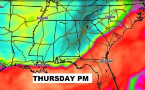
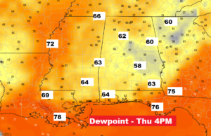
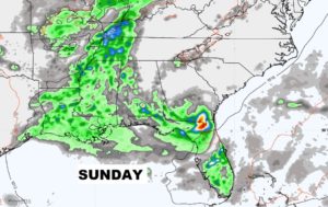
Showers and Thunderstorms Wednesday. On Thursday, the best rain chance shifts into south Alabama. Much lower humidity and heat levels Thursday, Friday and Saturday. Showers and storms return to the forecast Sunday and so does the humidity.
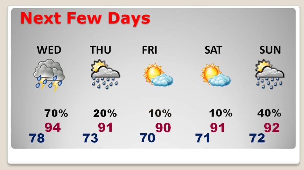
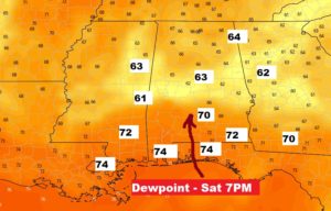
Humidity begins its return northward Saturday evening. By Sunday, we’re back to business as usual.
