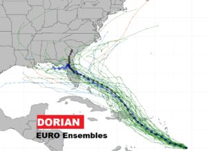
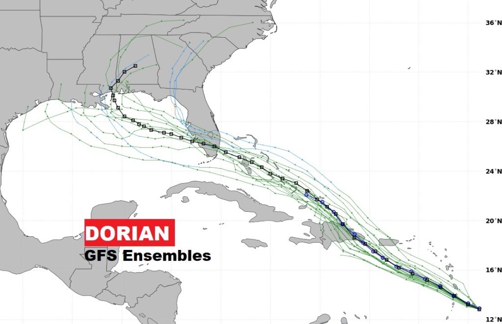
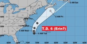
Good morning! An approaching frontal system will play a big role in our weather this week. Ahead of it, showers & storms will be quite numerous. Behind it by later in the week, nicer, less humid air will take over, including a couple of comfortable nights. But, what about the Labor Day Weekend? And, will the tropics play a role in our weather next week? Two global models suggest it might. I have the latest on Dorian and Tropical Depression 6.
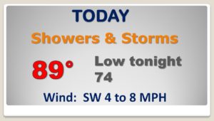
An approaching front will bring widespread showers and storms to the state today and at least a part of the day Wednesday. before drier air takes hold across the northern part of the state by Wednesday evening.
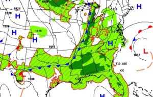
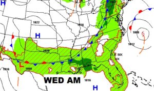
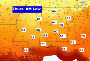
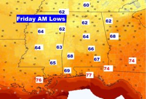
Behind the front, some nicer air and lower humidity will be briefly around for Thursday & Friday. A couple of nice mornings! Then, humidity and scattered storms return for the Labor Day Weekend.
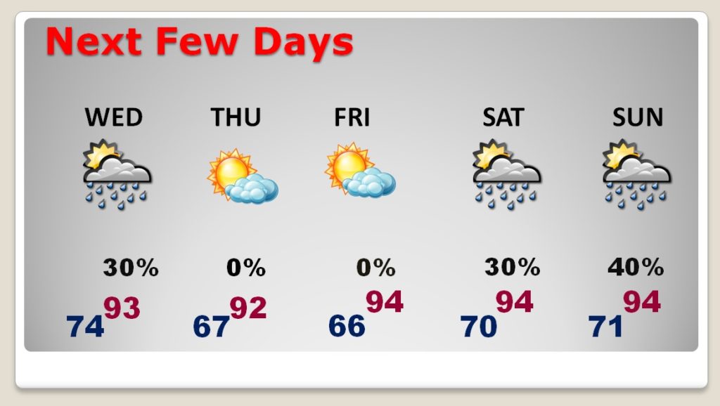
The BEST mornings will be Thursday and Friday. Comfortable.
The future of Dorian needs to be monitored. It’s currently a Tropical Storm with 50 mph winds. Could be near Hurricane Stregth as it passed close to Puerto Rico and the Dominican Republic tomorrow. Then, it heads for the Bahamas. Florida is in Dorian’s cone for this weekend.
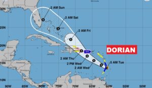
What’s the long term future for Dorian? The EURO and GFS indicate that we may have an encounter with Dorian by early next week. Stay tuned.
