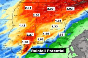
Get ready for a wet & bumpy end to the month of October. A huge change is coming soon. It will be a wet Wednesday. Showers and thunderstorms, ahead of a strong cold front are on the weather menu for tonight and Halloween Thursday, before a strong Cold Front shuts off the rain threat, and much colder air overspreads the state. It could be rather blustery for the trick-or-treaters Thursday evening. We are headed for the 30’s perhaps 3 nights in a row, as the coolest air of the season invades Alabama, just in time for the first weekend of November. On this video, I’ll break down the updated time line, and the severe weather risk. I have an update on potential rainfall and some chilly weekend nights ahead.
Wet and stormy at times today and tonight. Warm and humid.
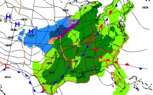
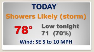
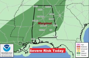
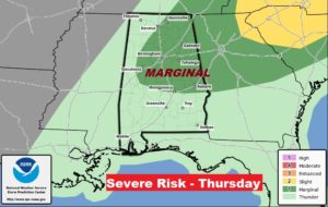
Strong cold front moves through tomorrow. Slightly faster timetable is probably good news for trick or theaters. Breezy & cool.
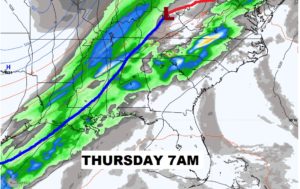
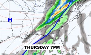
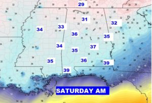
After the cold front passes, the coldest air of the season quickly funnels into Alabama.
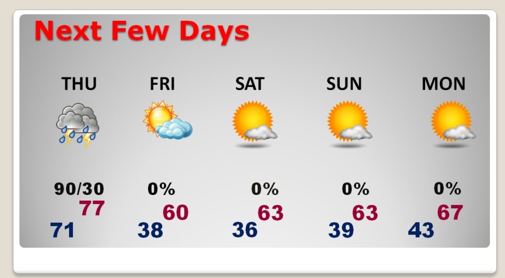
Three cold mornings. Saturday morning at Dawn cold be the coldest.
Here’s one model idea on rainfall potential with this storm system.,
