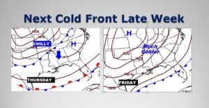
It’s another frosty start in central Alabama and deep into south, Alabama, too. The first weekend in November will be text-book perfect and just what the doctor ordered. Temperatures are running roughly 12 degrees below normal. A weak front moves through the state today, but you wouldn’t know it. There will be hardly a cloud with the front. We’re headed back to the 30’s, behind the front tonight. Look for a nice warming trend Monday through Wednesday. Then, our next weather maker.. An approaching Cold Front will bring in some rain by Thursday, then sharply colder air by the end of the week. Next weekend looks chilly again.
Here’s the map set-up this morning…
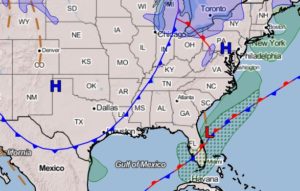
TODAY: Frost Advisory until 9AM. Blue skies, sunshine, cool. High 62. (Normal high 74). Northwest wind at 6 to 12 mph. Clear and cold tonight. Low 37.
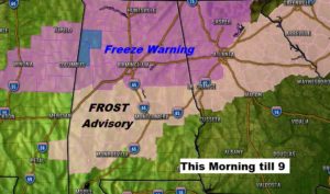
Here’s a look at the Frost and Freeze Advisories in effect in Alabama this morning.
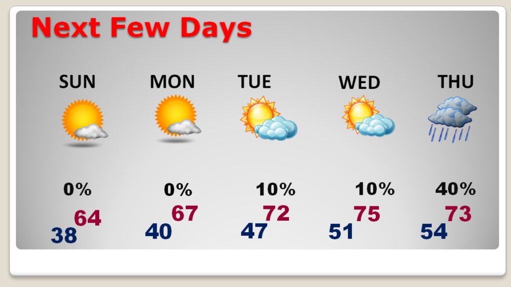
NEXT FEW DAYS: Sunday will be a great Fall day. Look for a nice warming trend Monday through Wednesday. Mid 70’s by Wednesday. Risk of showers or periods of rain Thursday, before it turns sharply colder on Friday.
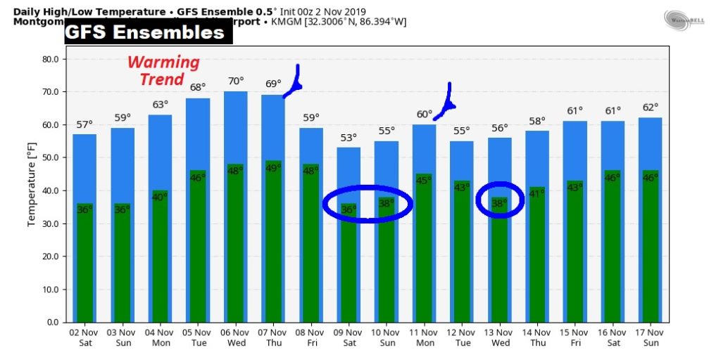
Here’s the GFS Ensembles Raw Temperature guidance out 16 days. After the next Cold Front Thursday, looks like another one sometime around November 12th.
Forty-two years ago today, a 21-year-old boy from Ohio started broadcasting in Montgomery, Alabama, and he’s still doing it today.

—
I will have another Blog update tomorrow morning. Have a nice weekend! Enjoy this great Fall weather.
-Rich
