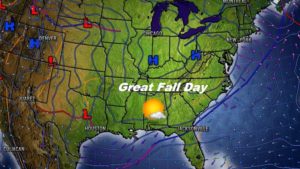
Good Morning! Get ready for a perfect November day today, as the warming trend continues. But, changes are on the way as a cold front brings rain to the area by Thursday night, and colder air will funnel into the state Friday, just in time for the weekend. But, looking ahead, some even colder air is on the horizon next week. The models continue to hint at some very cold air for November, which will engulf the state in the early to middle part of next week. On this video, I’ll show what brand of cold we could be talking about. Some interesting days on the horizon.
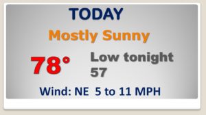
GREAT November day today. Sunny & warmer. Upper 70’s. Not as cool tonight. ENJOY..changes area on the way.
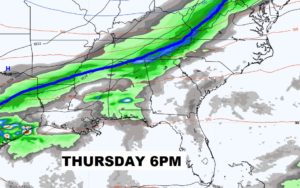
Could be a few Thursday afternoon, late, but a better chance of rain overnight Thursday as the cold front heads south.
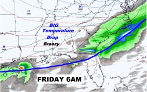
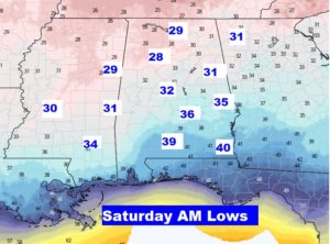
We’ll be in the 30’s Saturday and Sunday morning. This is very similar to last weekend. Nice Fall Days ahead for Saturday and Sunday with sunshine. It will, however, be well below normal.
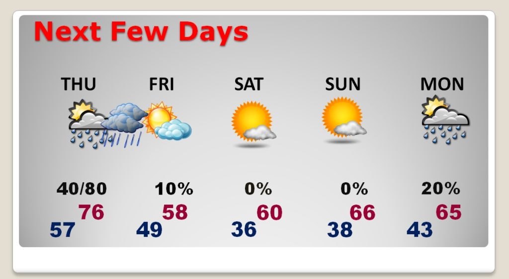
Rain Thursday night. Breezy and MUCH cooler Friday. Cool days and cold nights this weekend. More weather changes approach Monday as a Cold Front enters the state.
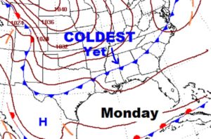
The air behind this SECOND cold front is a brand of cold we have not had yet this season. Significantly colder.
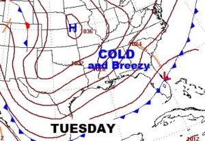
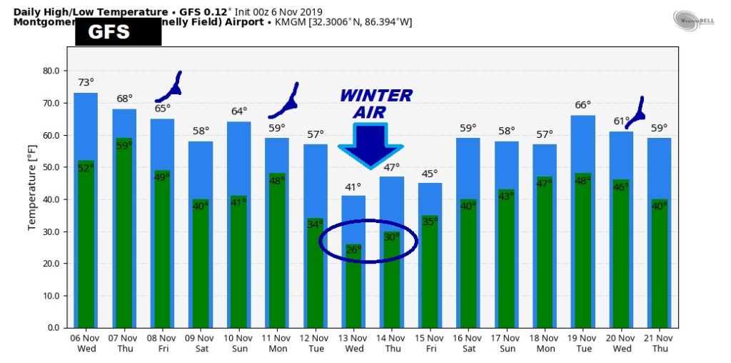
These numbers WILL change, but here’s a sample of how cold we COULD be next Wednesday morning, November 13th, and look at the projected highs for that Wednesday. It gets your attention….
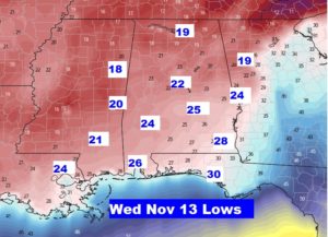
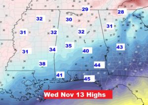
Raw numbers from the GFS model run… Three cold fronts next 15 days or so….
