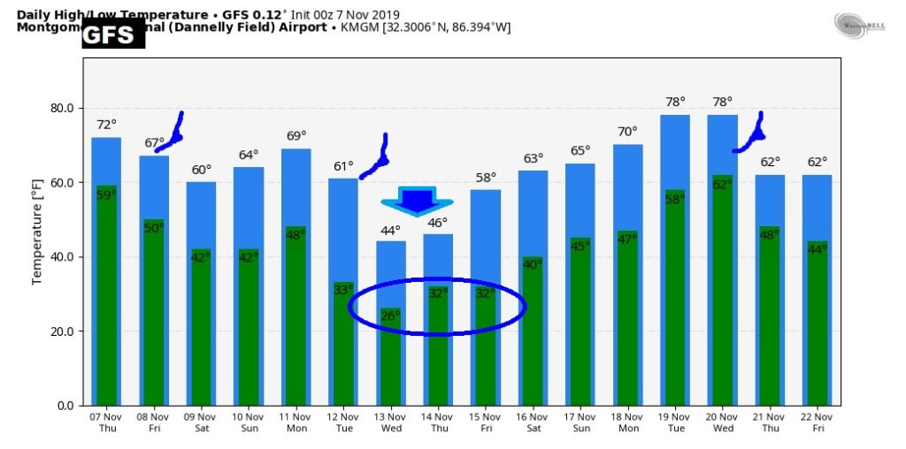
Good Morning! Get ready for big changes. A fast moving Cold front is approaching. Showers out ahead of it will begin to affect the area this afternoon and into tonight. The cold front reaches south Alabama in the wee hours of the morning. Expect a big temperature plunge Friday, and 30’s for a couple of nights Friday and Saturday. After a nice weekend, there’s more drama early next week as an Arctic Cold Front sweeps through the state Tuesday morning. How cold? How long? I have new information and new numbers to share. Get ready for a change of wardrobe.
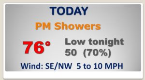
Showers arrive by this afternoon and continue tonight after a strong Cold front number one, which arrives in the weer hours of Friday morning.
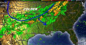
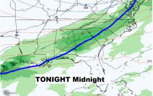
COLDEST morning will be Saturday, with mid 30’s in central AL by dawn. We’ll be in the upper 30’s Sunday morning, too.
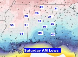
Nice Fall weekend. Cool Saturday. Two mornings in the 30’s Saturday and Sunday. Nice warm-up Sunday. Chance of rain Monday night into early Tuesday as an ARCTIC Cold Front Approaches.
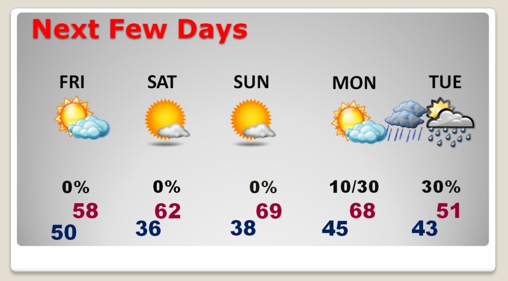
Chance of rain Monday night into early Tuesday as an ARCTIC Cold Front Approaches. This will bring a dramatic change. A brand of cold we have yet to see this season.
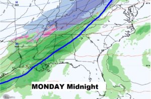
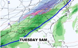
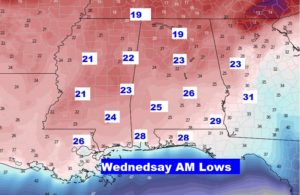
HOW COLD? This may change, but we cloud possibly be in the mid 20’s Wednesday morning.
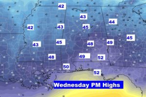
We may stay in the 40’s for highs on Wednesday.
THREE Cold fronts in the next two weeks….
