Good Morning! Get ready. We have an active weather week ahead. It starts off relatively quiet today – Warm and mostly dry. The first of two fronts moves through tomorrow with showers & storms. Front number two delivers much colder air by Wednesday. But, that’s only part of a complicated forecast. There are more “wrinkles” developing for later in the week, and beyond. I’ll break down the details for you on your Monday morning personal weather briefing.
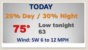
Very warm for December today, and relatively quiet, with a small rain chance today…slightly better rain chance overnight tonight.
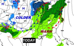
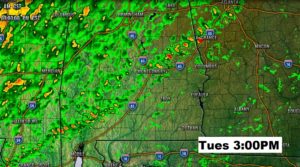
The first of Two fronts brings a band of showers and perhaps a couple of thunderstorms through the state on Tuesday.
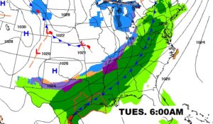
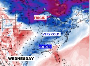
So, We’ll be sampling some much cooler air by Wednesday through Friday, BUT the the really, really cold air will MISS Alabama this time. This is GOOD news, of course….
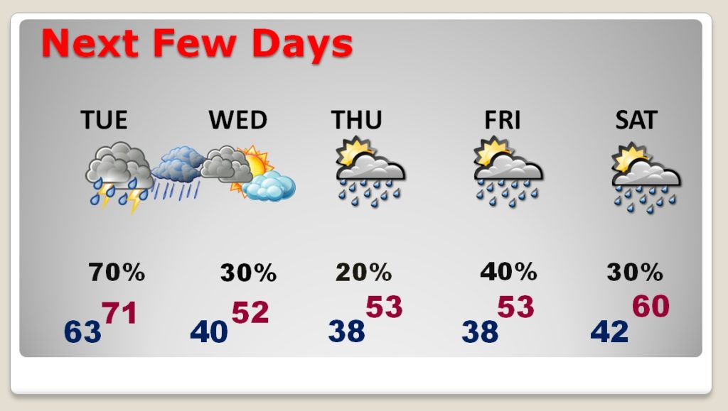
Very warm today and Tuesday. MUCH cooler Wednesday through Friday. Risk of showers each day.
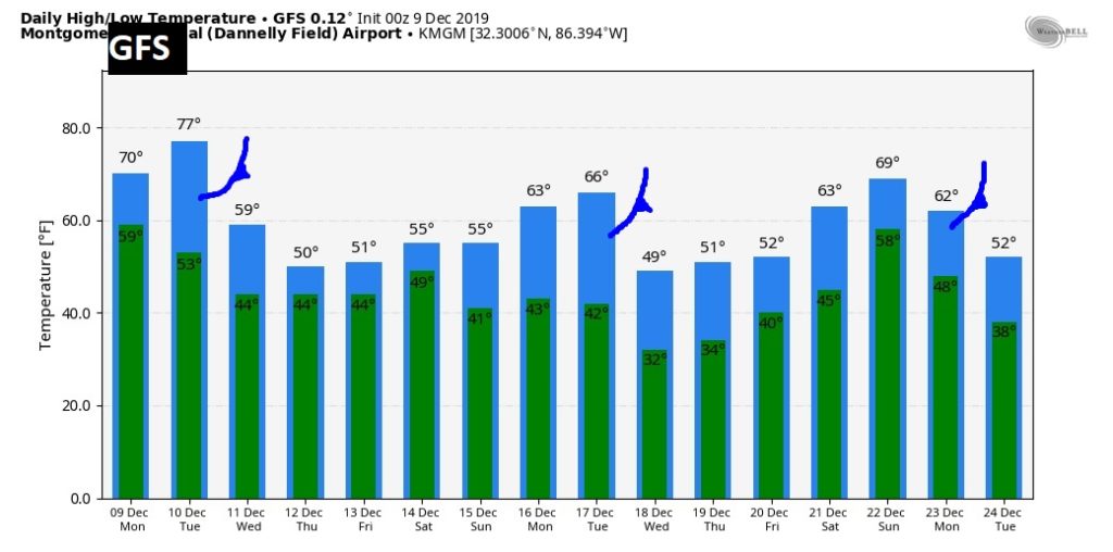
Ignore specific temperatures on this GFS Raw Temperature guidance for the next 16 days. We are only looking at trends. Looks like we’ll see at least three important Cold Fronts between now and Christmas. Fortunately the cold air with each of these will not linger too long. I don’t see ANY extreme or harsh arctic air in the next two weeks or so.
