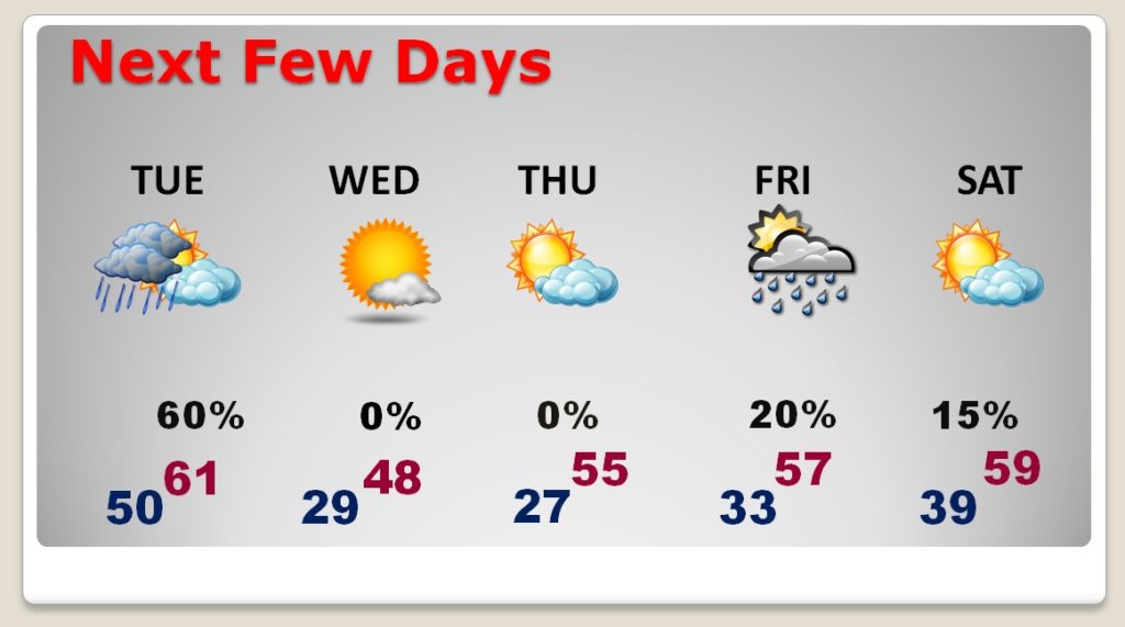
..We are poised for a Severe Weather Outbreak overnight tonight. In fact, the threat level has increased to an Enhanced Risk from about Montgomery westward. The timeline has also slowed down a bit more. On this video, I have the latest graphics on threat level, and I’ll show you Future Radar. Get ready for a big temperature plunge after the strong cold front moves through. Stay weather aware, particularly tonight and tomorrow morning. Have a plan of action.
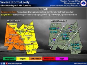
This graphic from NWS Birmingham covers just their counties of responsibilities, HOWEVER, it’s important to note the ENHANCED (Level 3 risk) has been expanded as far east as a Clanton, Montgomery line. That’s significant, but the rest of the state, all the way to the Georgia line and south to the Florida line is in a Level 2 Risk. ALL modes of severe weather are on the table including tornadoes.
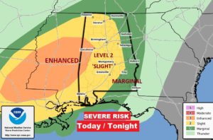
This map from SPC shows the whole risk area from LA and MS east through Alabama into west Georgia through 6AM Tuesday.
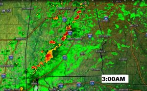
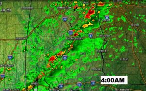
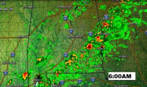
Don’t take Future Radar literally! This is just some general ideas of how the activity will unfold overnight. Any of these individual cells could easily start to rotate and drop a tornado.
BIG temperature drop behind the cold front.
