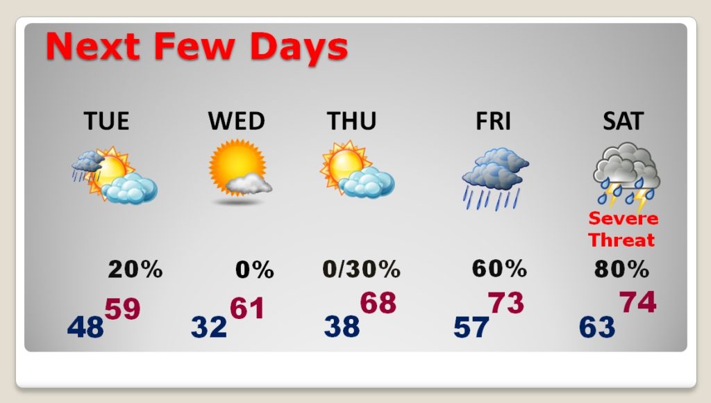
Good Morning! We have a beautiful start to our week..with lots of sunshine It’s chilly this morning, but we have comfortable, warmer day ahead. A weak front passes by tonight, with a small shower threat. But, much of this week will be storm-free and we’ll be warmer by late week. BUT, we have our eyes on an ominous Saturday storm system which will bring a Severe Weather Threat to Alabama and the Gulf South. All modes of severe weather on the table, including a tornado threat. I’ll bring you up to date on the timing and I’ll show you the updated SPC Severe Outlook.
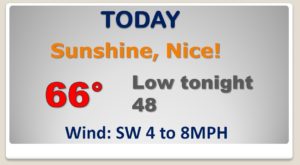
GREAT today! After the morning chill, we’ll be well into the 60’s. Weak front delivers a Slight chance of showers late tonight and Tuesday morning. Not a big deal…
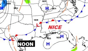
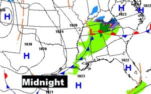
Much of the week ahead is storm-free and mild for January. Coldest morning, near freezing on Wednesday morning. Warmer late week. Two part storm system. Showers and perhaps a thunder or 2 Friday and Friday night. Severe Weather Threat with Part Two on Saturday and Saturday night.
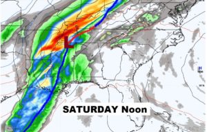
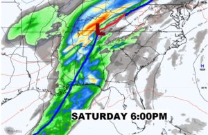
Here’s the latest on timing from the EURO model, showing the prime-time severe weather threat particularly Saturday afternoon and Saturday evening. I should note that the GFS model is about 9 hours faster on the timeline. As the week goes on, we will conti8nue to monitor the timing and evolution of this storm system.
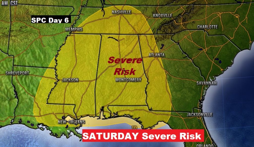
Here’s the updated Severe Threat Area from the Storm Prediction Center for Saturday. When we get within three days of the event, they issue specific threat levels. All modes of severe weather are on the table including tornadoes.
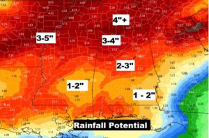
Like the storm system late last week, this next storm could bring significant rainfall totals again to parts of Alabama.
