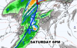
Good Morning! A weak cool front is drifting through the state very early. There were even a couple of showers with the front overnight. Much of today and tomorrow will be very nice. We have another freeze tonight. But, All Eyes continue on that weekend storm system, which will bring a potentially significant Severe Weather Threat to our state Saturday, including a tornado risk. The models are a little closer on the movement & timing of this system. I’ll update you on the details, including the latest from the Storm Prediction Center. Plus, we will take a peek later in the month. Will the above normal temperatures continue, or will the log jam break?
Breezy but nice today. Clouds early give way to sun.
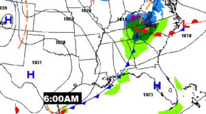
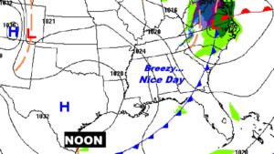
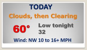
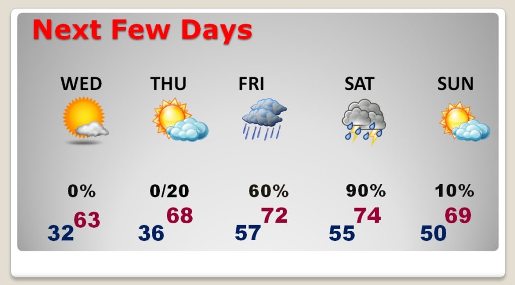
Near Freezing Wednesday morning. Nice Day Wednesday. Warmer Thursday but dry. Risk of showers maybe a thunderstorm or two Friday and Friday night. Severe Weather Risk Saturday. All modes of severe weather.
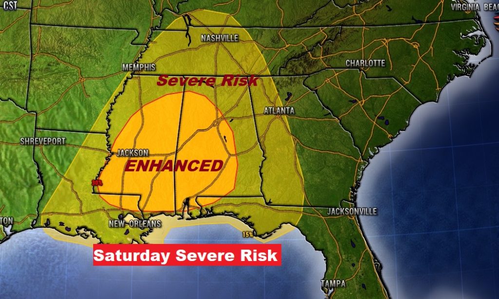
The new SPC Saturday Severe Threat map raises eyebrows. It now includes an Enhanced risk in parts of central and most of West Alabama, including a potential significant tornado risk.
Highs in the mid 70’s Saturday will add to the level instability for what looks like a widespread severe weather outbreak.
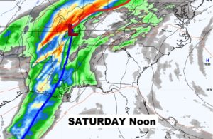
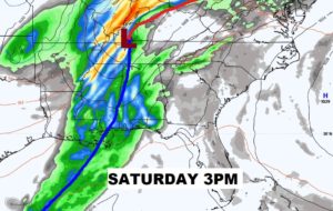
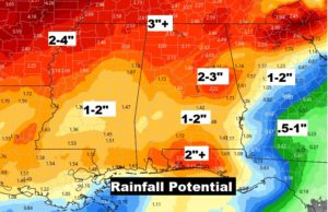
Rainfall amounts could be significant in spots.
