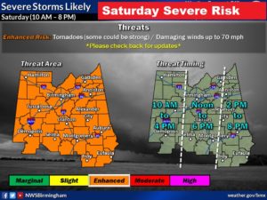
UPDATE ON THE SATURDAY SEVERE WEATHER TIMELINE:
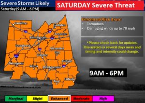
We’re getting close enough, now, to Saturday’s Severe Weather Event for a few adjustments in the timeline . Severe Weather is LIKELY Saturday. The timeline has been adjusted slightly, later. The window extends from about 10AM in the far western counties to about 8 PM in the far southeastern counties. For MANY of us…11AM to 6PM will be the prime window. The ENHANCED risk continues. That would be level out of 5. Severe thunderstorms with damaging wind gusts 70+ mph, and tornadoes are possible. Some tornadoes could be strong, EF-2 or higher. Further revisions are possible. An upgrade to a level 4 list is not out of the question, as new model data arrives between now and Saturday. Keep checking for updates!
EARLY MORNING POST:
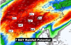
Good Morning! Enjoy a rather tranquil, and mild Thursday. We continue to monitor an approaching storm which will bring a Significant Severe Weather Threat to our neighbors to the west tomorrow and across Alabama Saturday. The threat includes damaging winds and tornadoes. On this video, I’ll bring you up to date on potential impacts and timing. Now is the time to for you to think about your Saturday plans. Rainfall over the next 7 Days could be excessive in spots. I’ll show you how much rain could fall. I have everything you need to know on this important morning briefing.
Enjoy a quiet, mild day today…
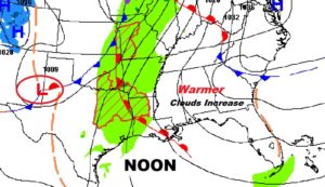

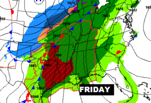
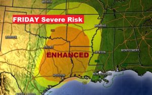
The massive storm system out to the west of us will cause a variety of different weather problems. Could be a BIG tornado day in the ArkLaTex region tomorrow.
The evolution and eastward movement of the front Saturday from morning until early evening.
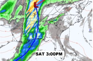
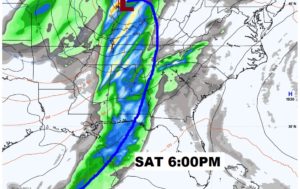
Rare & significant for January, and ENHANCED Severe Weather Risk for much of Alabama Saturday. Severe thunderstorms with damaging wind gusts and tornadoes. A few strong tornadoes can’t be ruled out.
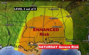
Threat begins fairly early Saturday morning in the west and exits east Alabama by about 6PM. An all day event for the state.
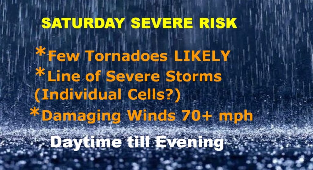
Unknown factor…will there be individual supercells ahead of the main line? We hope not. That’s a dangerous scenario.
With the threat of rain, from a series of disturbances, in the forecast for the next several days…rainfall in parts of Alabama and neighboring states could be excessive in spots over the next 7 days.
