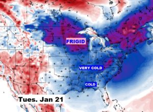
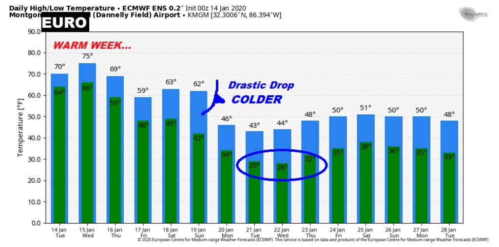
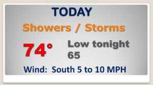
Good morning! This continues to look like a week in April, not January. We’ll be in the 70’s next few days, and 60’s at night. Wet & stormy at times. On this video, you’ll see Future Radar, which that looks active and colorful. There could even be a few strong storms today. After excessive rain yesterday, there’s a lot more rain in our future. When will get a break? And, when will that cold air arrive? Spoiler alert: we may go through a big change of wardrobe over the next 7 days.
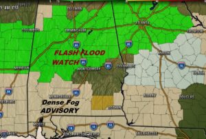
Flash flood watch now covers much of central & north Alabama. Dense Fog Advisory covers much of south Alabama this morning.
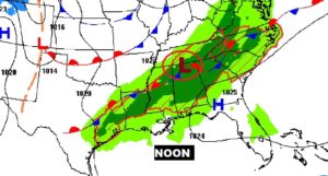
STALLED FRONT. Another Low pressure area riding along the front will spark another round of showers and storms. Locally heavy downpours. April-like warmth.
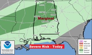
A few storms could be strong today. Marginal Severe Risk for much of the northern half of the state. Damaging wind gusts, and hail possible in some stronger storms.
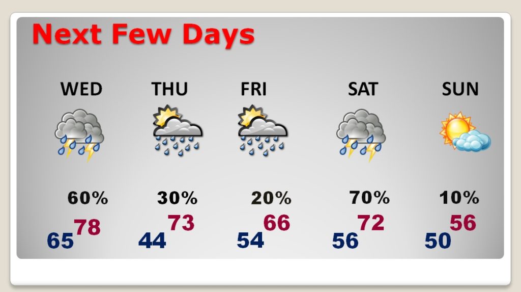
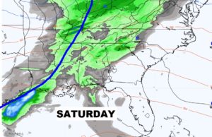
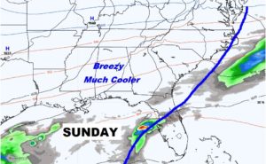
SPRINGLIKE warmth next few days. Days in the 70’s and nights in the 60’s Wet & Stormy at times. Cold front brings storms Saturday. Much cooler Sunday..
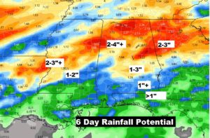
This map seems very underdone to me. I think some of us could see some very downpours over the next few days. Rainfall tptals could be excessive in spots.
Next Cold Front brings showers and storms Saturday, and much cooler air Sunday. 50’s for highs instead of 70’s.
Looks like we’ll be wearing coats by this time next week.
