Enjoy this quiet weather Sunday. Changes are on the way.
Just like the movie “Ground Hog Day”, we are going to be reliving last week all over again, with many amazing similarities. That includes another Severe Weather Threat Wednesday night and into Thursday morning. This storm system will feature the risk of damaging winds, tornadoes and the threat for flooding rain for parts of the state. Temperatures will turn sharply much cooler, and it will become windy Thursday afternoon into Friday. Does any of this sound familiar?
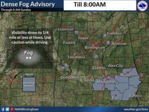
TODAY & TONIGHT: DENSE FOG Advisory for much of central Alabama this morning. Clouds will probably hang around through mid morning followed by gradual clearing. It will turn into a nice day, much like last Sunday. (Last Sunday we had a high of 69) Today we’ll reach 65 to 68. We’ll get another peak at that Full ‘Snow’ Super Moon tonight. Low 50.

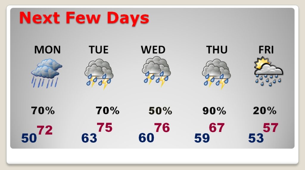
NEXT FEW DAYS: A series of storm systems will drift through the southern states, with the main event Wednesday night. Impulse number one brings rain and a few thunderstorms Monday. A front stalls Tuesday, as areas of low pressure move along the front. Periods of showers and storms Tuesday into Thursday. Severe Weather Wednesday night. MUCH cooler late Thursday into Friday.

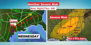
SEVERE WEATHER THREAT..AGAIN: Same day, different storms. Another severe weather threat, just like last week. There are certainly many similarities. Unfortunately that also means this will very likely be an overnight event. All modes of severe weather are on the table including damaging wind gusts & tornadoes. The Flash Flooding risk appears high as well. Right now, the timing appears to begin possibly as early as late Wednesday afternoon, through Wednesday night, and into part of the day Thursday, until the cold front ends the severe weather threat and temperatures begin to tumble. Sound familiar? This appears to be a carbon copy of last week’s scenario. Concerning to me is that brighter shade of yellow, where the Storm Prediction Center has outlined a potential Enhanced Risk.

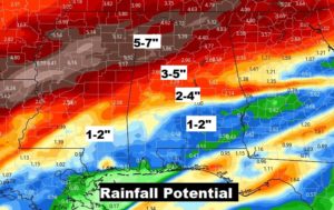
HOW MUCH RAIN?: Once again, this will be a week of significant rainfall totals across the Gulf South. In Alabama, especially north Alabama, could see some rather prolific rainfall totals. Like last week there could be some significant flooding in spots.

—
I will have a video update for you first thing tomorrow morning. It should be online by about 4:45AM. I’ll know more details on potential timing on this week’s severe weather event. Have a nice Sunday!
–Rich
