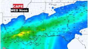
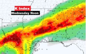
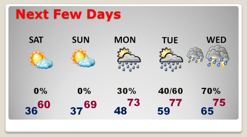
Good Morning, on a sub-freezing Friday morning. If you have weekend plans, the news continues to look very positive. Friday and Saturday will be cool and dry with a lot of sunshine. Nights will continue quite chilly for now. A warming trend begins Sunday. I have tweaked the weekend details. Sunshine will be dominate.
But, all eyes are on that mid-week storm system next week. We continue to monitor the potential for strong to severe storms on Wednesday. I have the latest on the potential threat, timing, and the severe weather ingredients.
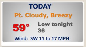
Quiet day today. A little below normal temperature-wise Breezy this afternoon. Dry..
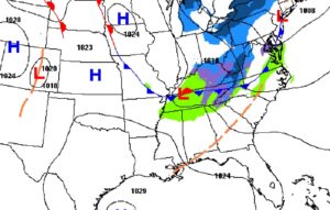
NICE weekend. Cool sunshine Saturday. Warming trend Sunday. Into the 70’s Monday through Wednesday. Threat of showers returns Monday. Potential Severe weather threat Wednesday.
Models continue to “waffle” on the details of the severe weather potential, however, on timing, it does appear to be a daytime event Wednesday.
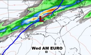
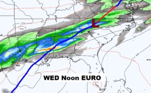
Some of the the severe weather parameters, like available energy or instability, along with other thunderstorm parameters continues to suggest we could see some severe storms Wednesday. Will they be tornadic? Details are still a bit sketchy, but we have a few days to monitor this potential threat.
