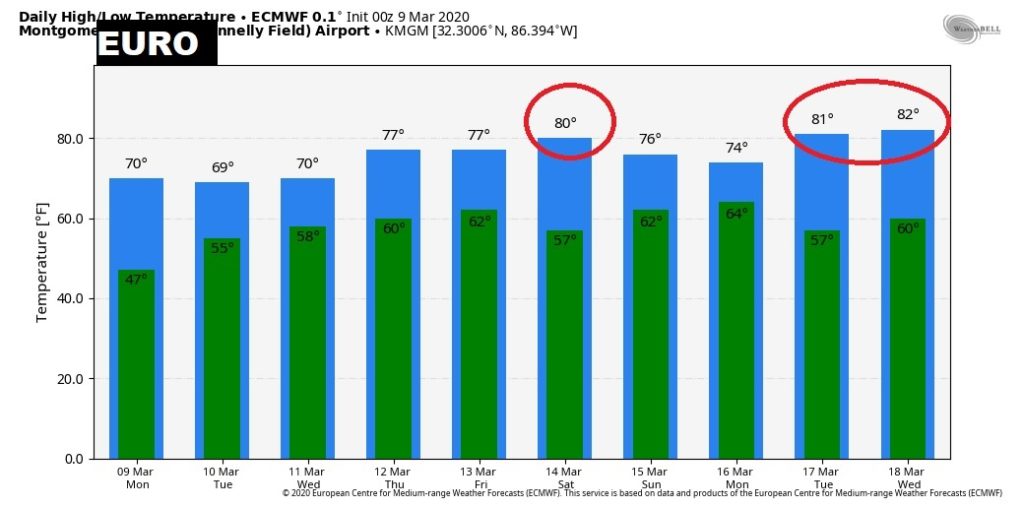
Good Morning! Our week starts out day and warmer. The official start of Spring is 10 days away. But, the weather this week will be very Spring-like. It will be wet at times beginning late tonight and through the weekend. But, there will be several periods of dry weather in-between showers, and rainfall amounts will be nothing like we experienced last week. I’ll break down the details, and I’ll show you what parts of the state could see the heaviest rainfall. Wait till you see the temperatures for the next couple weeks.
We should stay dry today and this evening. Showers will probably hold off until the wee hours of the morning. Today we warm into the 70’s The start of a very Spring-like Week…
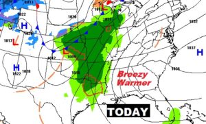
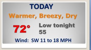
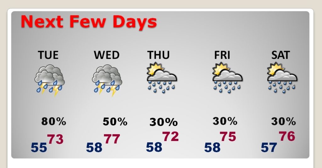
Warm week ahead. Spring-like. Chance of showers and maybe a few thunderstorms each day. At the moment it looks like Tuesday will have the best rain chance.
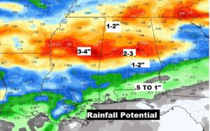
Rainfall amounts in the week ahead will be heaviest in central and north Alabama. Extreme south Alabama may not see much rain.
Today is the Average date of the Last Freeze in Montgomery. Are we done with freezes? We’ll see. The EURO models says we will be rather warm for the next 12 days or so.
