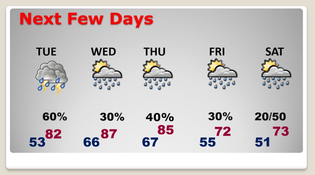
Good morning! Our string of very warm days is not over yet. Our week starts very warm and dry, today. Mid to upper 80’s appear likely. But, a series of disturbances will bring showers and thundershowers back to the forecast at times during the week ahead. The 80+ degree temperatures are locked in at least through mid-week. But, many questions remain about late week and the Easter Weekend. The models are in huge disagreement. Will we see a significant Easter weekend storm system….or not? I’ll show you what we know so far.
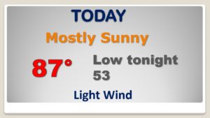
We are in the quiet zone today. Dry and very warm. Perhaps upper 80’s. Record high is 89 in 1880.
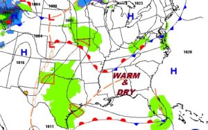
Showers and thunderstorms make a comeback by tomorrow.
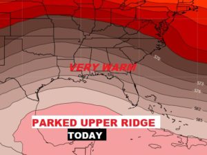
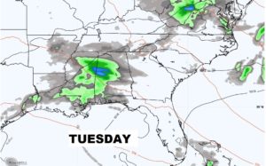
Highest rain chance on Tuesday, but periods of showers and storms will be in the forecast each day. 80’s through Thursday. Cooler LATE WEEK. Big question marks about Easter Weekend. See below.
An Upper level “cut-off” Low in the southwestern US will present a forecast problem for us. It will eject a series of disturbances at us as the week unfolds. But, many questions remain on timing of what could be the big event. Does it arrive Easter Sunday or later?
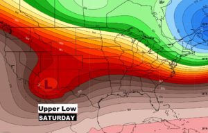
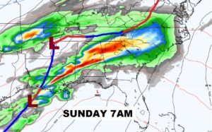
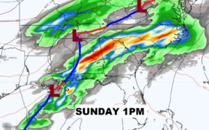
Will Easter weekend be stormy or no? The GFS shows a fairly benign Sunday, with a chance of showers by Sunday night and Monday. But, below, the Euro model depicts a very stormy Easter Sunday with the threat of severe weather. So, right now, it would be smart for us to take a middle ground on the forecast.
