Early morning Update:
Good morning! The atmosphere will be primed for thunderstorms today, especially later in the afternoon and into the evening. Some of the storms could reach severe limits with damaging wind gusts. Get ready for some changes. Much cooler air will arrive by Good Friday. While the first part of the Easter weekend will be dry, concern is growing for an Easter Sunday storm system which could bring a potentially significant Severe Weather Threat. I have the latest on timing and potential impacts. Could we see a significant cool-down next week?
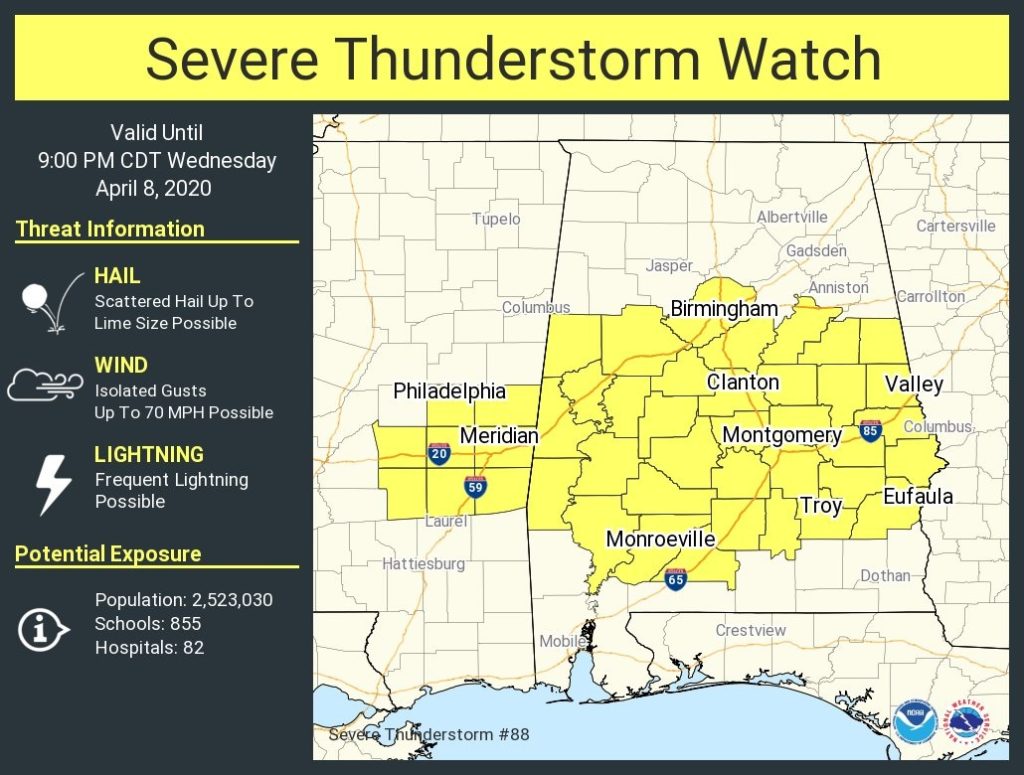
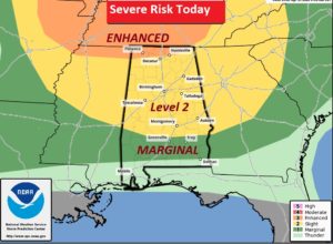
A few stronger storms could pop up during the afternoon and even tonight with damaging wind gusts and the possibility of hail. Level 2 risk north of a Greenville Troy Line.
A couple of Future Radar snapshots early this evening.
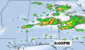
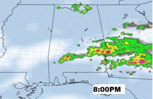
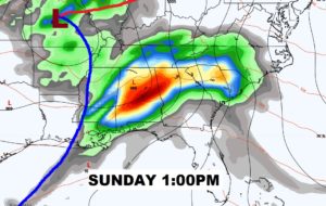
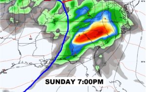
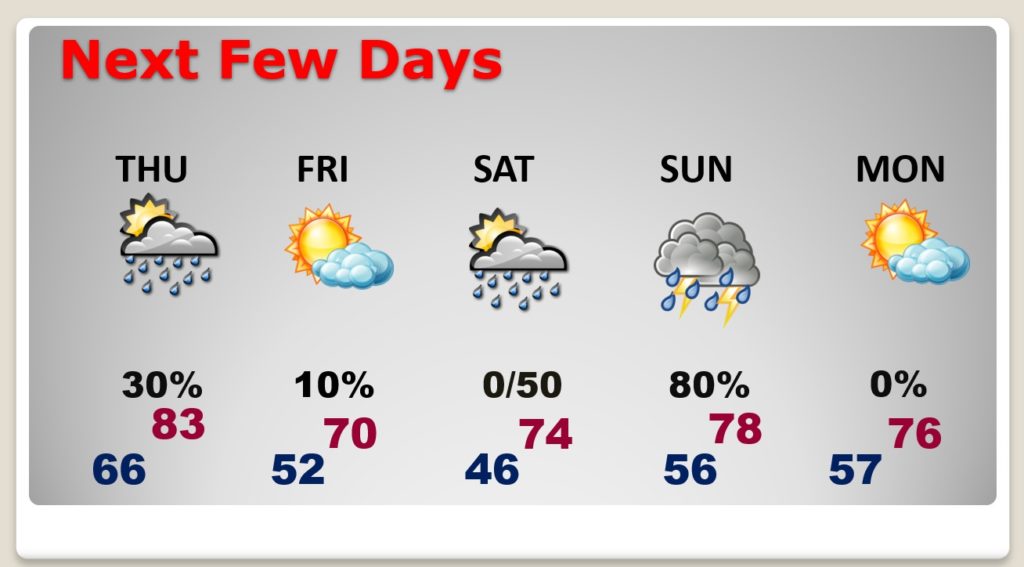
Much cooler Friday. Much of Saturday will be dry. Storms could begin Saturday night. Showers and locally severe storms Easter Sunday.
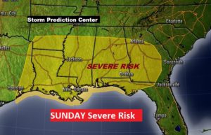
It is always VERY significant when SPC puts out a severe weather risk 5 days ahead of time. All modes of severe weather are possible on Easter Sunday including tornadoes.
Powerful storm system takes a “negative tilt”.
