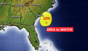
Good Morning! No big surprises in our immediate forecast. More sun, and more heat will lead to widely scattered, random storms again. Most towns will stay dry. But, the trend over the next several days will be for hotter days, as we head for the first official weekend of summer. How hot? And, what about the rain chances? I have an update on the Father’s Day weekend. Off the Southeast coast, there’s a new “x” on the map from the National Hurricane Center.
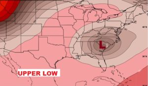
The upper Low parked over the Southeast will be responsible for a somewhat cooler day. High in the mid 80’s Widely scattered afternoon relief for a few lucky towns,
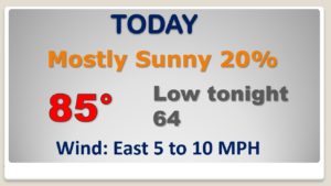
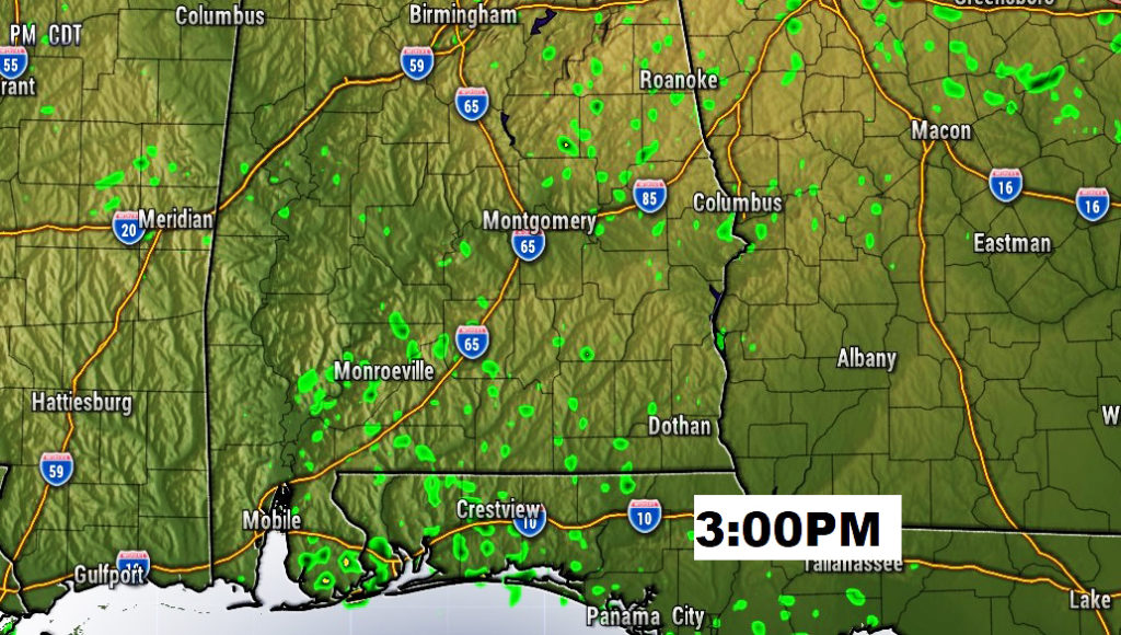
Typical June day. Look for a few heat of the day showers here and there.
An Upper High pressure Ridge builds by Saturday and Sunday. HOTTER days ahead.
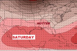
Routine June forecast. Rain chances small but not zero. Heating up. Looks like a HOT first weekend of Summer and a HOT Father’s Day.
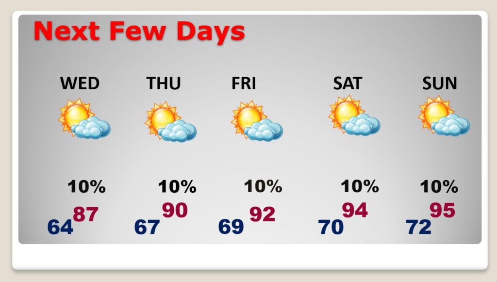
That Area to Watch off the southeast coast is associated with a surface low pressure area. NHC only gives this system a 10% chance of developing into a Depression in the next 5 days.