Good Morning! The stage is set. Again today, like yesterday, radar will be active and colorful. For at least the next couple of days showers and thunderstorms will be widespread. More Tropical downpours. How long will this wet pattern persist? On this video we’ll look ahead to a more typical summer pattern by late week and the weekend.
Rinse and repeat. More widespread storms today.
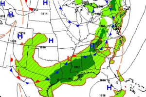
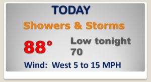
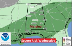
Like yesterday, some storms could reach severe limits with damaging wind gusts. Marginal Severe Risk.
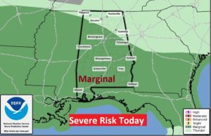
Same thing tomorrow.
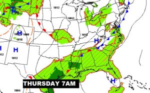
That frontal system across north Alabama will start to fizzle and fade. That will lead to fewer afternoon storms by Friday and Saturday.
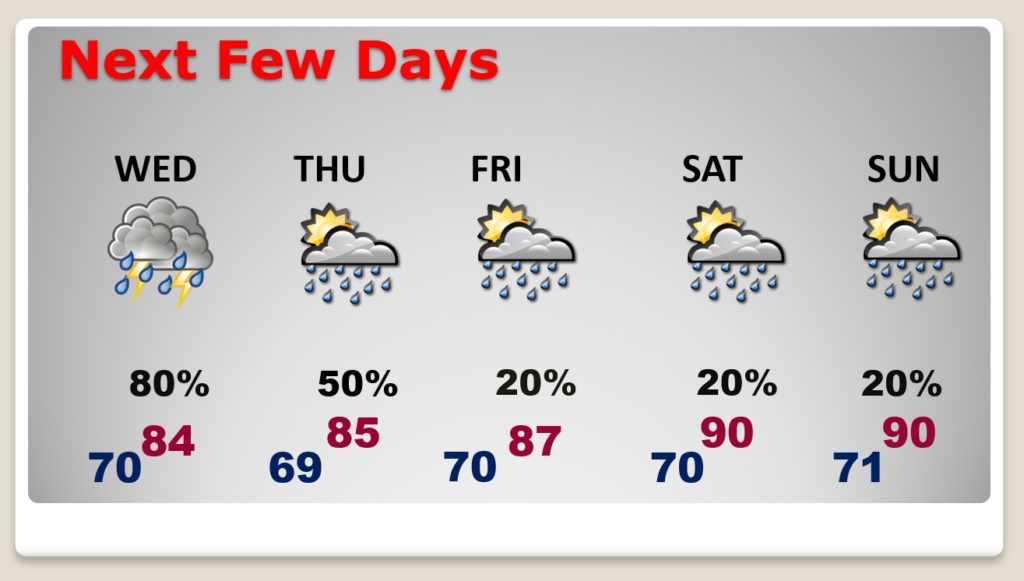
Generous supply of showers and storms, especially Wednesday and Thursday. Then, we’ll ease back to a more regular summertime pattern Friday through Sunday.
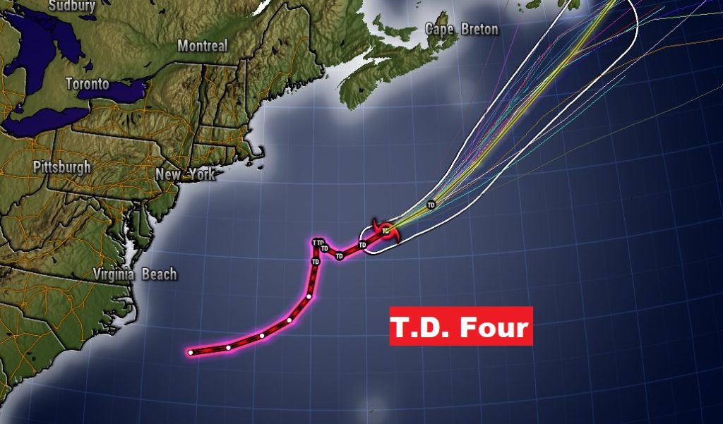
Tropical Depression Four in the North Atlantic could become Tropical Storm Dolly. It’s a fish storm.
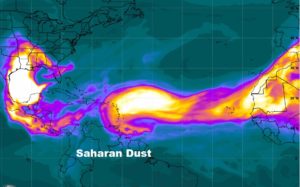
Meanwhile, at least for now, Saharan Dust dominates the rest of the tropics including the Gulf. This stifles tropical development. That will change in a couple weeks. July will be more active.
