Good Morning! Our weather pattern is evolving. There will still be storms around, some with heavy downpours, but there will be fewer storms on the radar each day, and temperatures will be a little hotter every day. The Heat Index will reach the danger range over the weekend and beyond. On this video, I’ll update on the Hot weekend details. The rain chances have been updated for here and the coast. Plus, I have the latest on Invest 98, which could become a Tropical Depression or Tropical Storm Today.
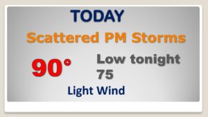
Storms will not be not quite as numerous today. Highs will reach 90 or above. The heat index will be near 100.
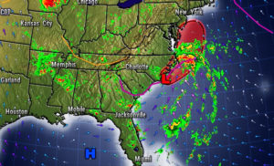
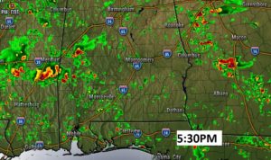
There will still be some random heavy downpours roaming around, but not as numerous as earlier in the week.
As that Upper High Pressure Ridge expands eastward…the heat will build Friday and over the weekend.
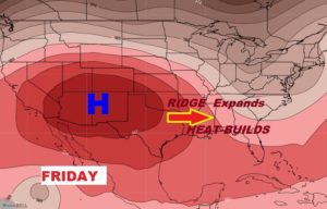
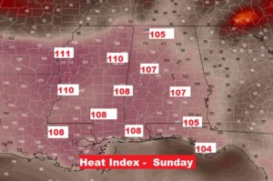
Scattered storms but fewer storms. Hotter days. Very humid. Triple digit heat index.
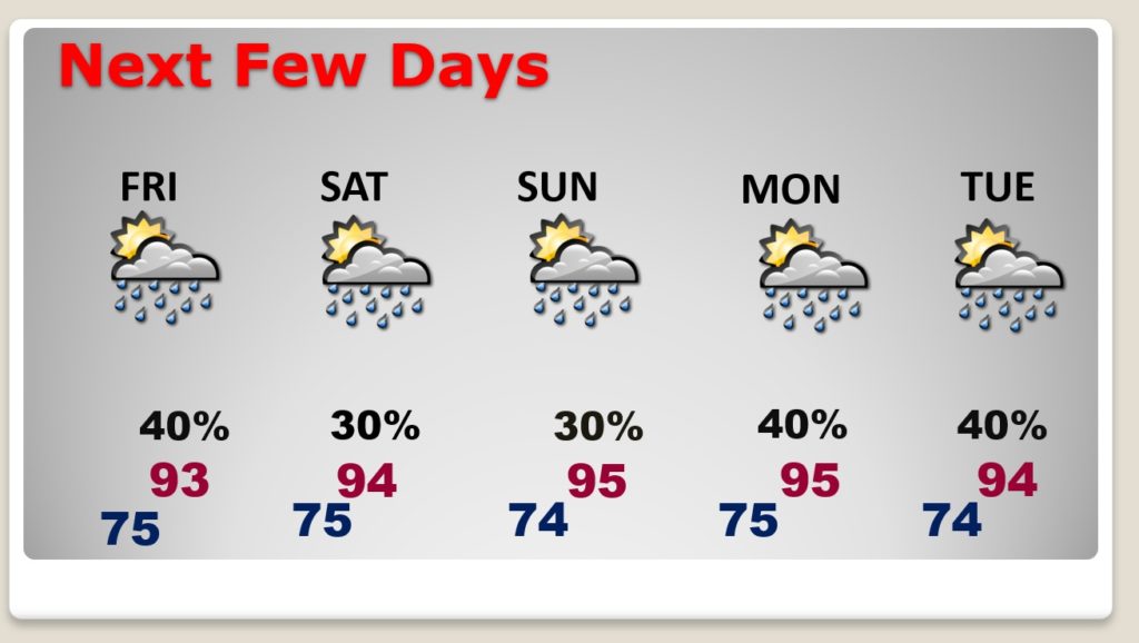
The Danger Range on the Heat index begins at 105. We will be above that level over the weekend and into next week.
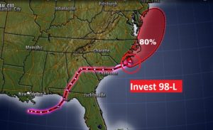
Incest 98-L on the North Carolina coast will emerge into the Atlantic. It’s likely to become a Tropical Depression or maybe even Tropical Storm Fay later today.