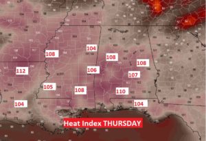
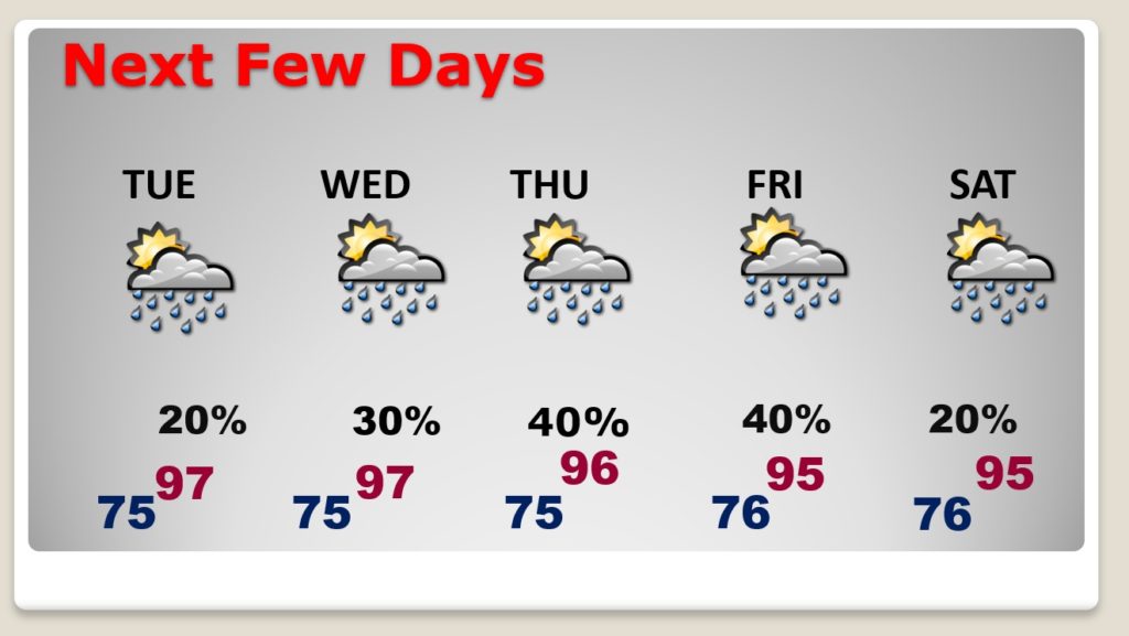
Good Morning! Following Sunday’s big storms, now the focus will shift to Heat. This week the heat will build. We’re headed for highs well into the 90’s and the heat index will reach triple digits. Later in the week, the heat index will likely reach the Danger range level. What about relief from cooling showers? I have updated the daily rain chance through Saturday. We’ll take a peek into the future to see how long the intense heat could persist.
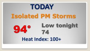
Any showers today will be isolated in nature. We will be well into the 90’s today with a heat index near of above 100.
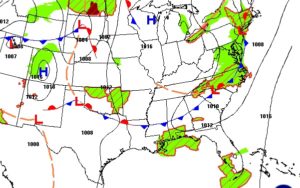
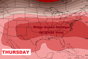
As the week unfolds, the upper heat dome will expand and grow stronger.
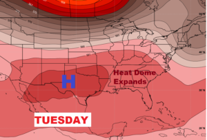
Temperatures will be well up in the 90’s each day with spotty cooling relief from a few afternoon and evening storms. The heat index will be into triple digits each day.
Here’s a snapshot of Thursday afternoon. Dangerous heat indices.
