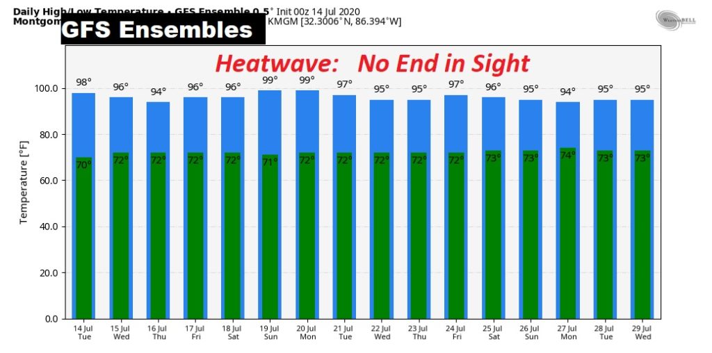
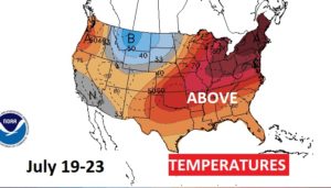
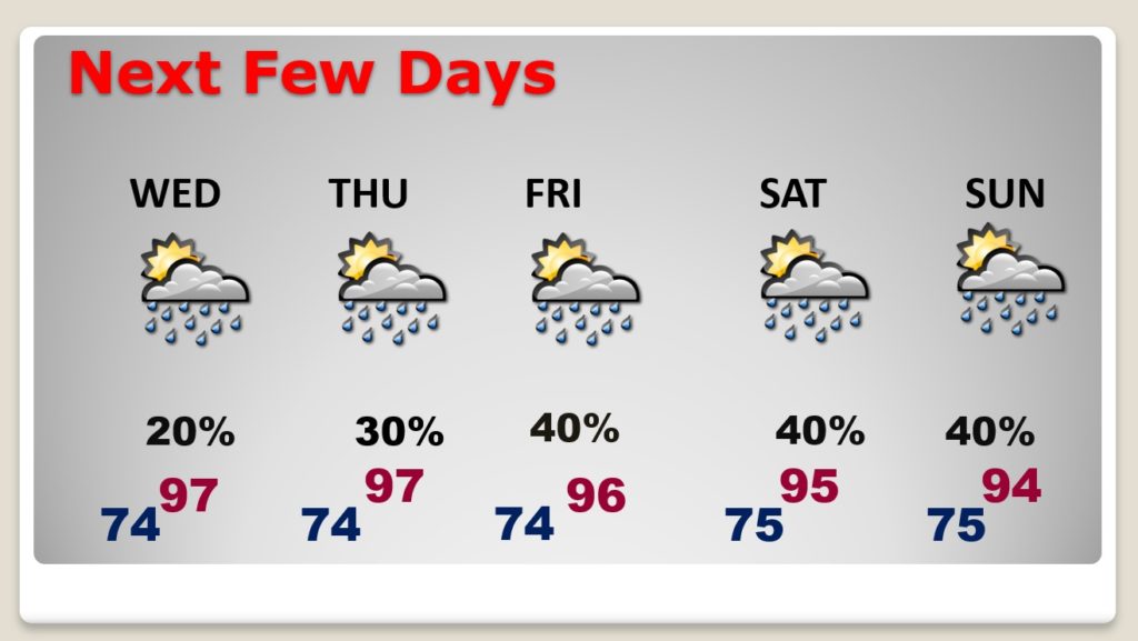
Good Morning! We are just getting started on what looks to be a prolonged summer heatwave. Yesterday’s high in Montgomery was 94° with a Heat Index of 104. Some of the hottest days will be later in the week. Scattered cooling showers will provide tome brief relief for a few towns later in the week. But, not every town will benefit. The heat index will be close to the 105 danger range most afternoons through the end of the week. And, into the weekend. When could we see a heat-break? We’ll look ahead to the next couple of weeks for any signs of relief. I have updated the rain chance through Sunday.
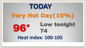
Very hot day today. Most towns will stay dry. Triple digit heat index.
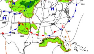
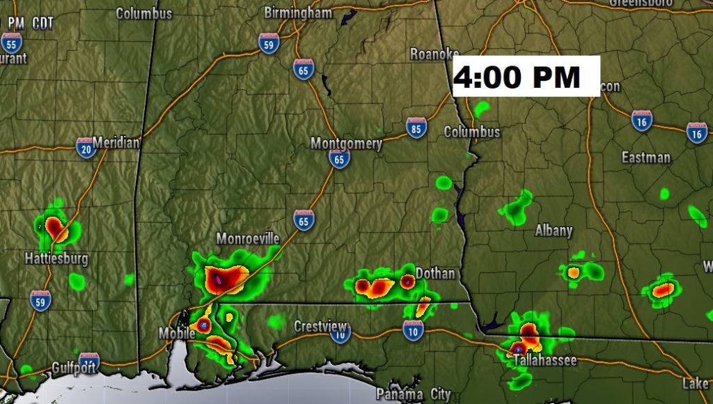
Best chance of some spotty showers will be across the southern strip of counties.
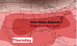
The huge upper level heat dome will not only expand eastward…it will grow stronger.
Relentless heat next few days. Dangerous heat indices. Spotty storms for some lucky towns each day.
Some of the models are painting a picture of prolonged heat for at least the next 16 days.
