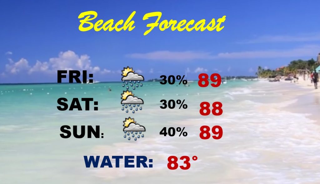
Good Morning! Today will be very hot again, and potentially a stormy in some towns. The heat index will be near the 105 danger range. But, your chances of encountering some liquid relief is a little better by this afternoon & this evening. Big heat can cause big storms. Some stronger storms will have gusty winds and lots of lightning. You can keep track where the storms are and where they area headed on our weather app. Meanwhile, get used to the intense heat. As you’ll see on this video, it could be around for quite a while. I have updated the daily details through the weekend for here and the Gulf Coast.
A weak disturbance in the upper atmosphere will help enhance our rain chances especially in central & South Alabama this afternoon and this evening. A couple of storms could be strong with today’s intense heat.
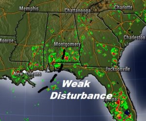
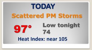
Your chances of encountering one of those random storms will be a lot better today. Good luck! BUT, they can really put on quite a show with lots of lightning and gusty winds.
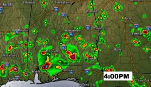
The heat Index will like reach or exceed the 105 Danger Level today. Stay hydrated!
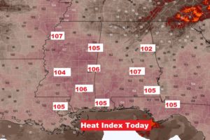
Very little day to day change next few days… Relentless heat. Triple digit heat indices and scattered PM storms.
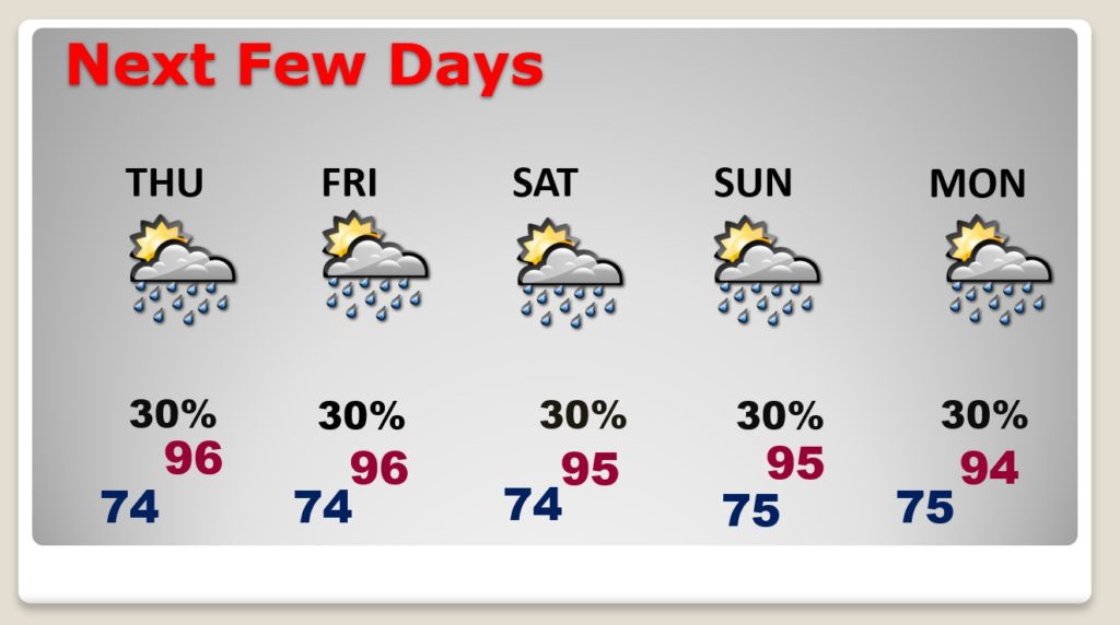
Hot & humid on the coast this weekend with some spotty scattered storms. Routine forecast.
