Good morning! Rainfall coverage may be slightly better today. Still, though, unfortunately, only about 30% of towns and neighborhoods will get lucky.
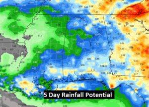
However, the news about the week ahead is getting better. As you will see below, the prospects for getting wet will increase quite a bit. Random storms will be most numerous Tuesday through Friday, and possibly beyond. After a dry week last week, this is just what the doctor ordered. We sure need the rain.
We’ll be very close to the 105 Heat Advisory criteria today, and particularly tomorrow. Stay hydrated.
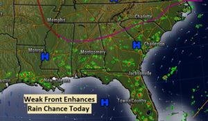
Here’s the set up this morning. A weak front draped across north central Alabama will hopefully act as a focus for some scattered thundershowers.
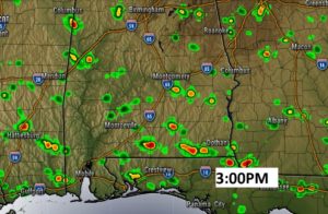
TODAY: Sun/cloud mix. By afternoon…more clouds than yesterday. HOT. High 96. Heat index peaking at 103 to 105. Scattered afternoon & evening storms for a few lucky towns. Low tonight mid 70’s. Here’s a Future Radar snapshot at 3PM. Looks more generous coverage than yesterday. Good luck.
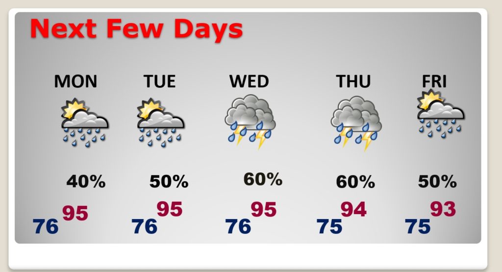
NEXT FEW DAYS: The rainfall probabilities speak for themselves. Much better probabilities than last week, especially Tuesday through the end of the week.
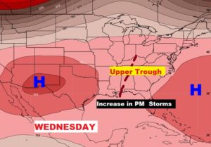
A “weakness” or trough in the upper atmosphere will promote the better rain chances this week.
Hopefully a lot of communities will benefit from some nice downpours this week.
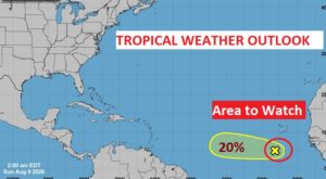
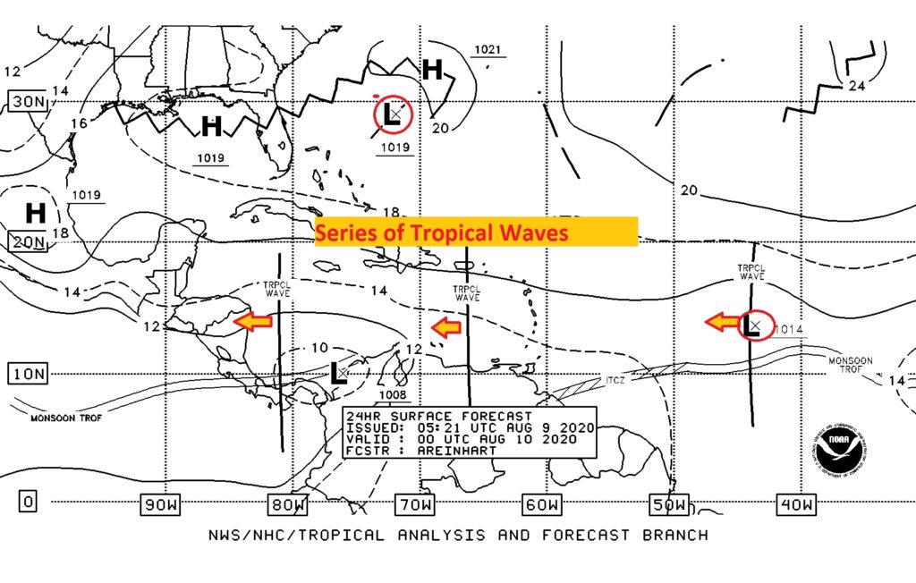
THE TROPICS: Things are relatively quite at the moment. NHC is tracking that Area to Watch in the tropical Atlantic, currently with a 29% chance of development in the next 5 days. There are a number of tropical Waves we’re tracking from the Caribbean to Africa.
–
I’ll have a complete video update for you tomorrow morning.
Stay safe and well. Enjoy your Sunday!
–Rich
