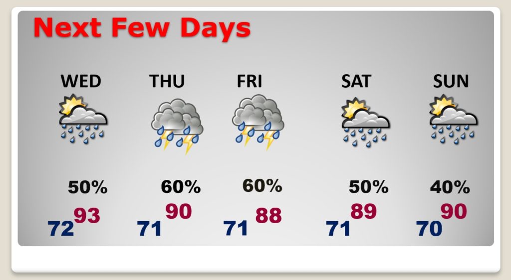
Good Morning! Get ready for another hot August day. There will be a few spotty afternoon & evening storms, cooling down some lucky towns today. But, the odds of you encountering one of those afternoon storms will improve each of the next few days, through the end of the week and into Saturday. I have the updated rain chance through Sunday. Meanwhile, all eyes are on the tropics. We are tracking two systems, one in the Caribbean and one in the Atlantic. Could the United States be affected by either of these systems? The next week or two could be quite interesting.
Another HOT August day with Mid 90’s and random spotty “hit or miss” storms.
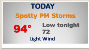
Not many storms to go around today…but a few lucky towns could get cooled down.
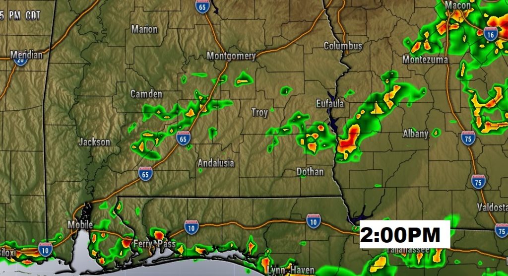
The number of afternoon & evening storms will ramp up over the next few days, reaching a peak on Thursday and Friday.
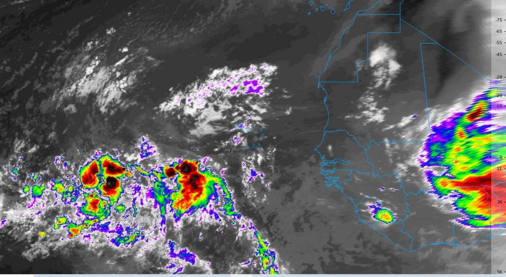
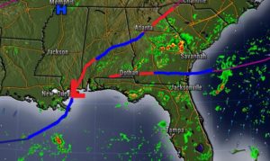
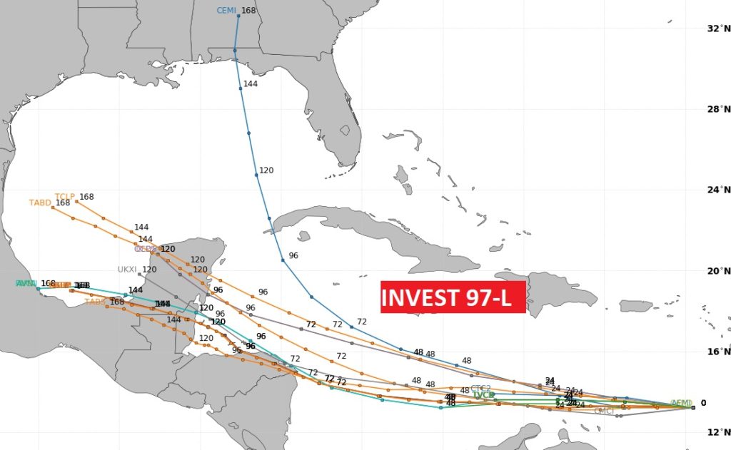
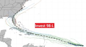
The Tropics are getting interesting. Tracking invest 97 & 98. Either one of these could have either Gulf of Mexico implications or the Southeastern US.
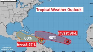
The next two names on the list are Laura and Marco. Could 97-L be headed for the Yucatan and then the SW Gulf? Maybe…
Frankly, the potential future of 98-L, I think, could be potentially troubling. It’s just way too early to know. We could see a Depression or Tropical storm in a day or two.
And there’s another big system about to come off Africa. The African Wave Train is open for business.