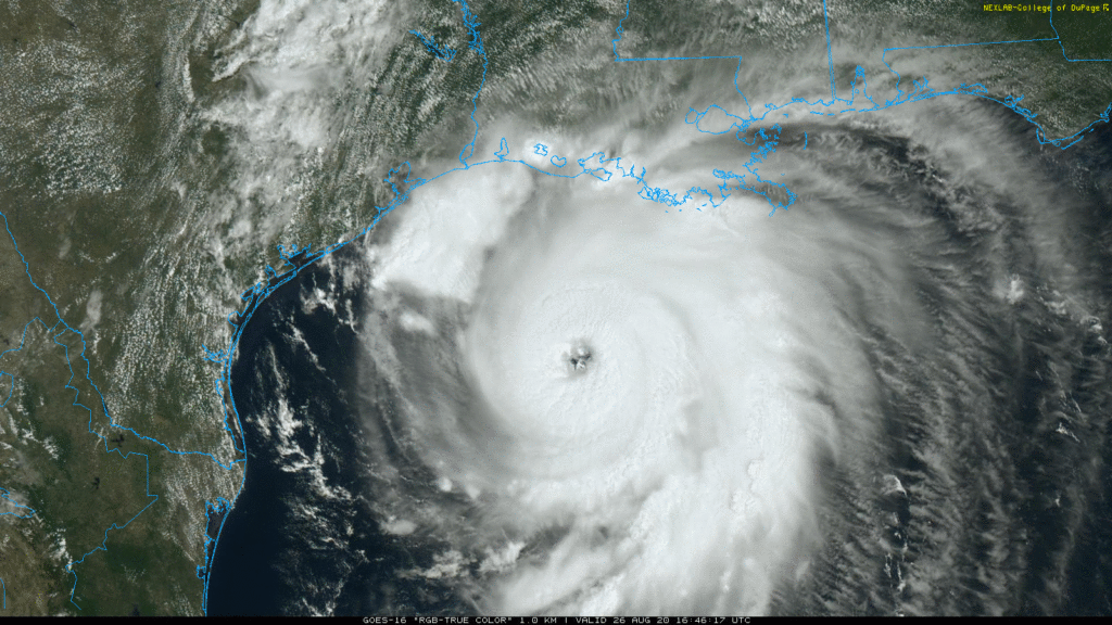
SPECIAL 1PM UPDATE: Laura now an Extremely Dangerous Category 4 Hurricane
Very disturbing. Laura now a Cat 4 hurricane with 140 mph winds, a little more than 12+ hours from the center crossing the TX/LA coast. Laura is worse than Rita, and perhaps the benchmark storm of all-time for this region. Catastrophic storm surge and wind damage. Tropical storm force winds are already reaching the coastal areas in the path of the storms. Prayers for our neighbors in TX and LA.
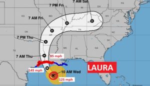
10:00AM NHC UPDATE:
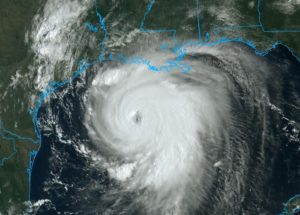
EARLY MORNING UPDATE:
Good Morning! Preparations are being rushed to completion along the Texas & Louisiana coast. Hurricane Laura, in the Gulf, is rapidly intensifying, and headed for landfall late tonight as a Major life-threatening Hurricane, with potentially catastrophic damage. For us, while the rain chance will be relatively small today and Thursday. The outer circulation around Laura will bring a spike to our rain chance by Friday into Saturday. I have the latest from the National Hurricane Center.
Laura is undergoing a Rapid Intensification Cycle in the central Gulf. Winds now 110 mph. It’s also a large hurricane. Hurricane force winds extend out 70 miles and Tropical Storm force winds 175 miles from the center.
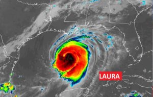
NHC now projects LAURA will become and extremely dangerous Category 4 Hurricane with 130 mph winds. Landfall late tonight.
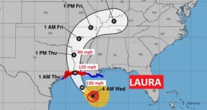
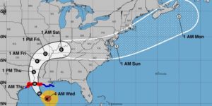
Laura will cause prolific flooding rainfall on it’s trek through the Ohio and Tennessee valley and middle Atlantic. It’s expected to become a tropical storm again off the US coastline by about Saturday.
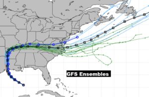
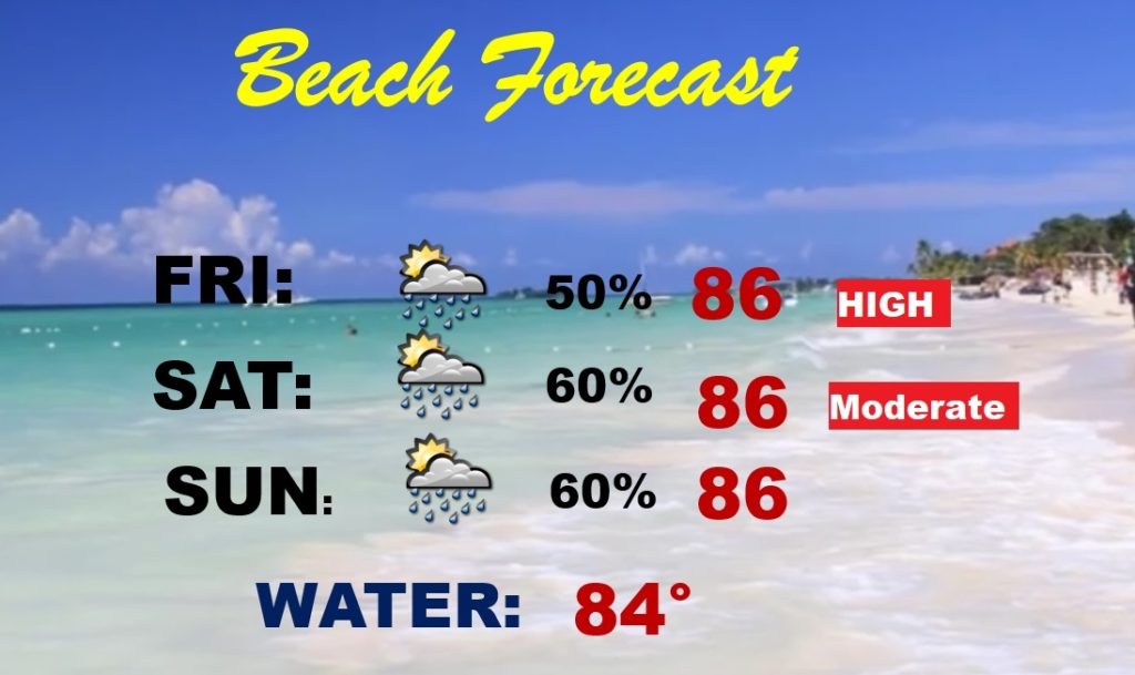
The tropical circulation around Laura will cause a spike in our rain chance Friday into Saturday.
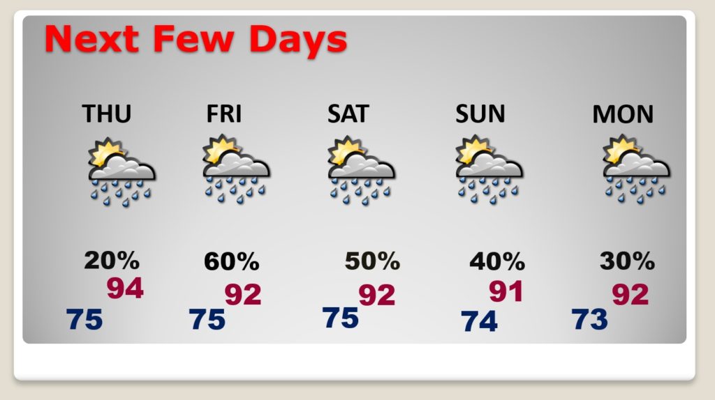
Not an ideal forecast. Good bit of tropical moisture will lead to a generous supply of showers and storms over the weekend. RED flags through Friday. Yellow flag on Saturday.
