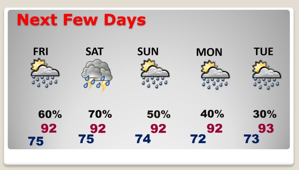
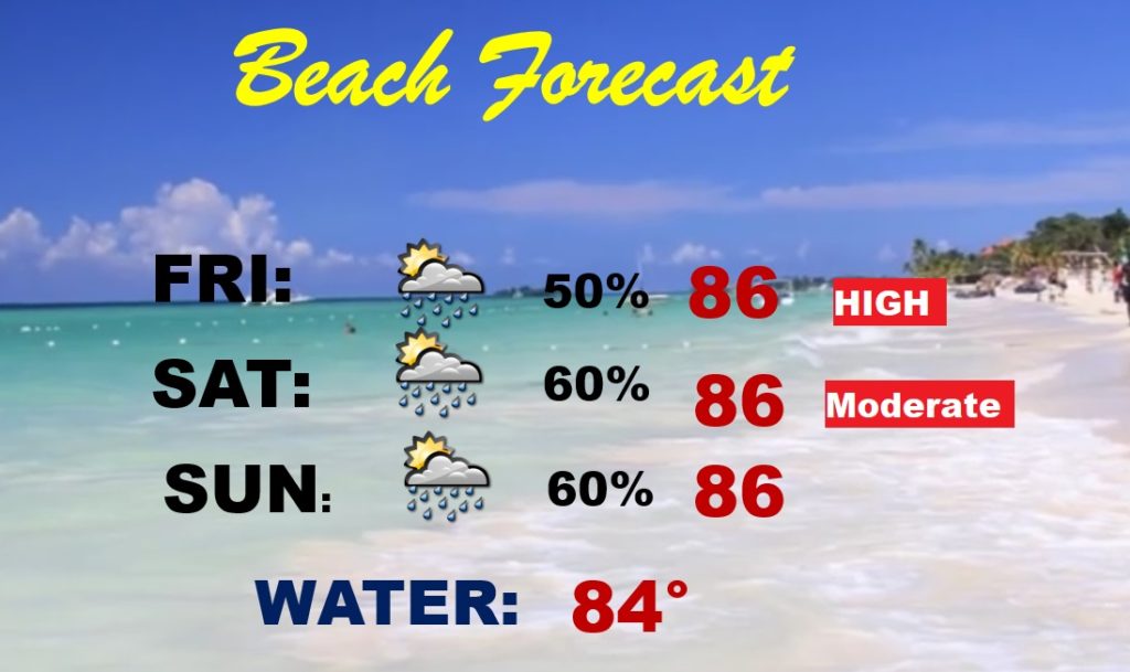
Hurricane Laura, perhaps the strongest storm to ever cross the NW Gulf Coast, is producing unimaginable damage this morning, headed toward Arkansas, before making an extreme right turn and cutting across to the middle Atlantic states in the next 3 days. The extreme outer moisture flow around this large storm will begin to effect Alabama over the next couple of the days. I have made some big adjustments in the forecast. Parts of our state could also see a tornado threat from Laura. I have the latest..plus a look at a new tropical Area to watch coming off Africa.
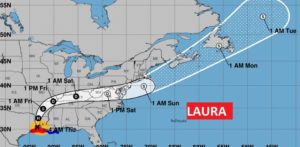
Laura is still a 120 mph hurricane at 4AM, and still will be a Hurricane when it reaches Shreveport later today, before making that extreme right turn through the Ohio valley and into the Middle Atlantic states, before becoming a Tropical Storm again over the Atlantic.
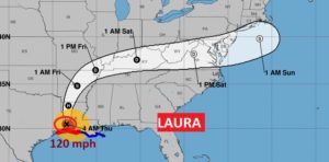
A big chuck of our state could even see a tornado threat from Laura, especially tomorrow and Saturday.
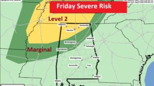
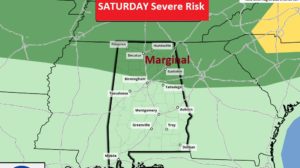
Our rain chances will be pretty high, especially Friday and Saturday, from the large tropical moisture circulation around Laura.
