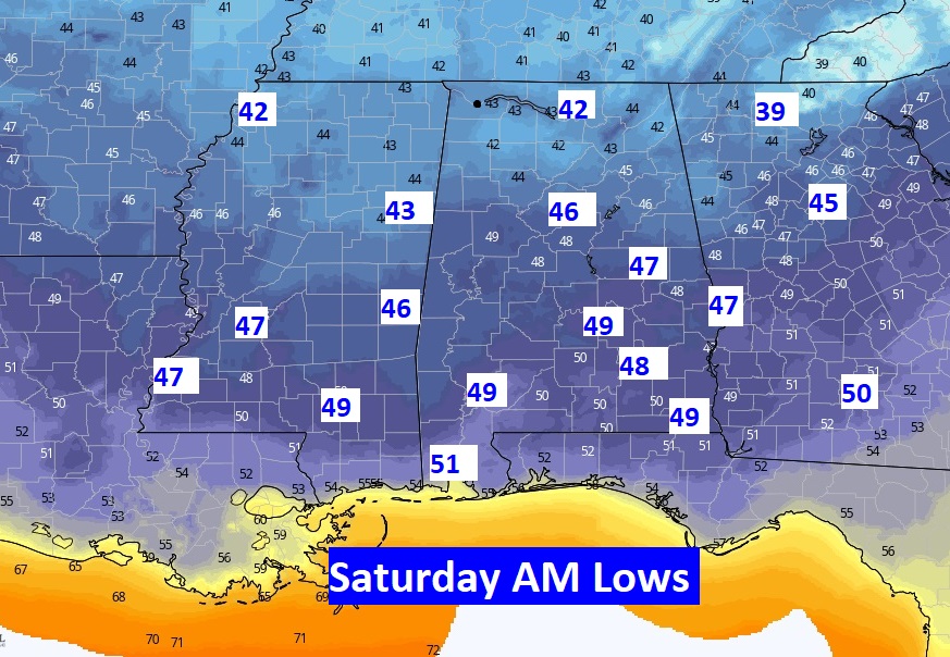
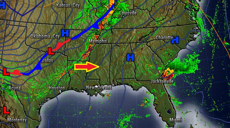
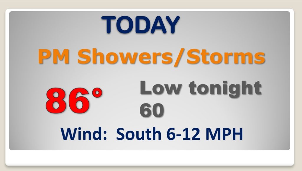
Good morning! Interesting week of weather ahead. First of two cold fronts approaches. Could be a round of strong storms by this evening and tonight. We’ll see two stages of cooler air. Stage one arrives by Tuesday evening. Then, after brief warming on Thursday, get ready for a significant dose of much cooler, nice Fall Air by Thursday night, Friday and into the Weekend. Could we even see some upper 40’s? And, wait until you see the next weekend forecast. It’s worth watching today’s video for the details and the timing.
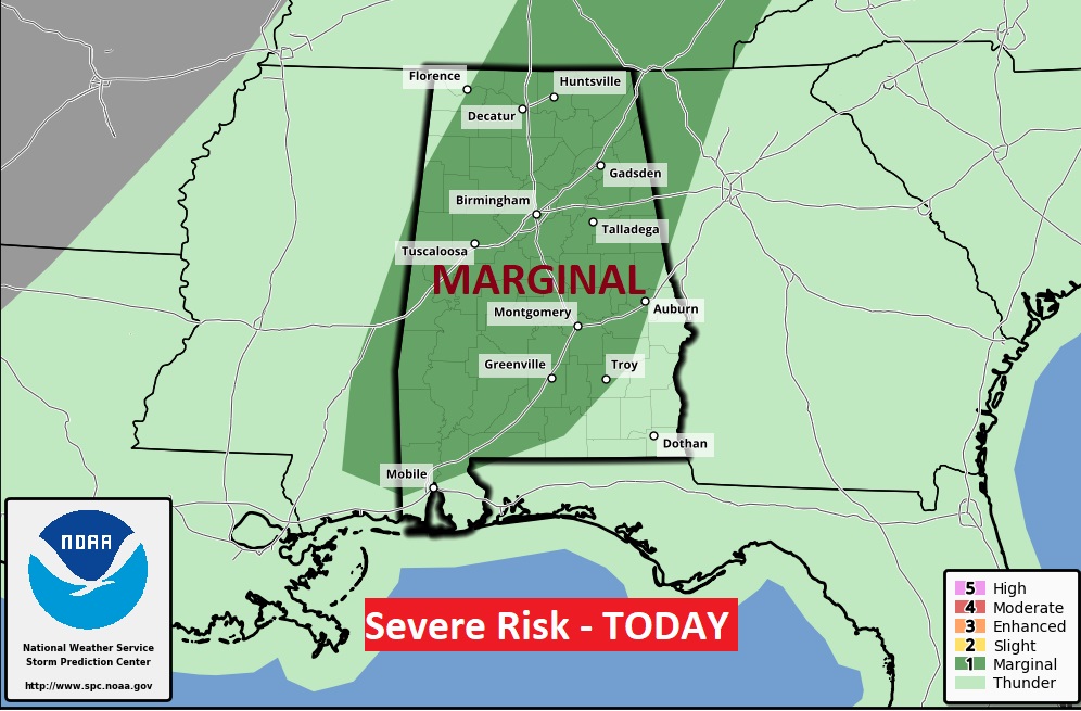
SPC says some of the storms could reach severe limits today and well into this evening. Damaging wind gsts are the main threat.
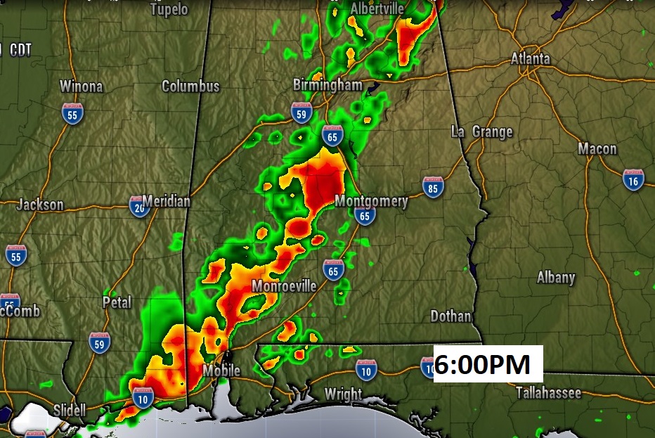
Here’s a Future Radar snapshot from early this evening.
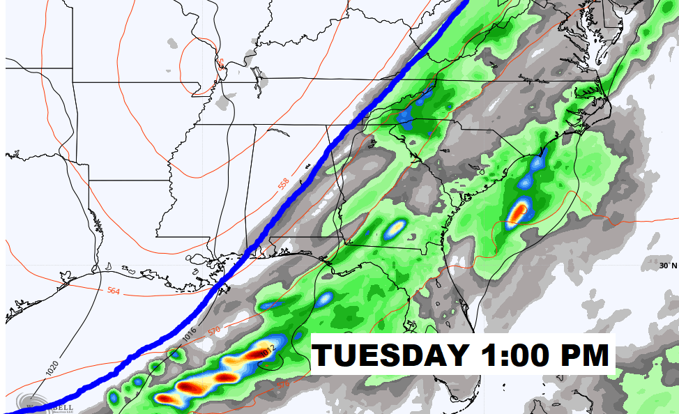
Cold frontal passage #1 Tuesday afternoon. Nicer air Tuesday night into Wednesday.
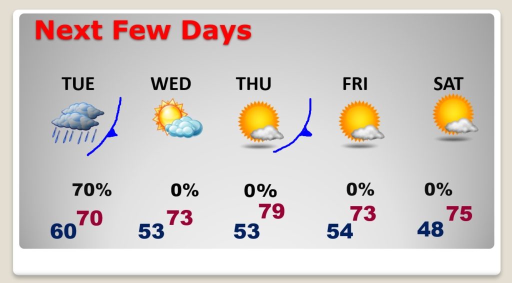
So, it cools down briefly Wednesday, warms up Thursday, before the second cold front delivers some spectacular air Thursday night. Coolest morning, apparently will be Saturday morning. NICE stuff.
Look at some of these potential low temperatures by Dawn on Saturday AM. GREAT!
