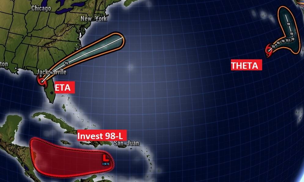
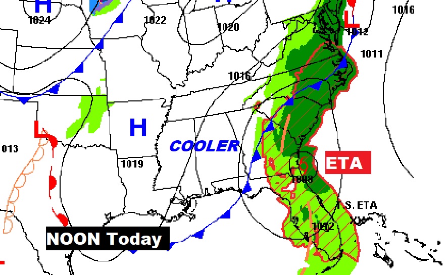
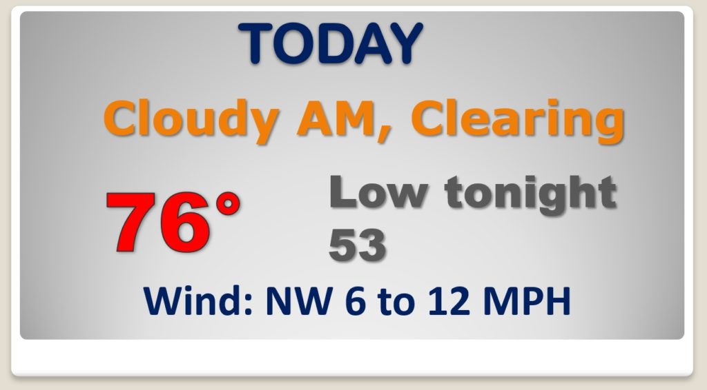
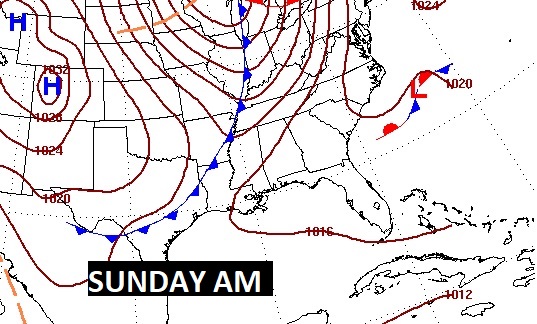
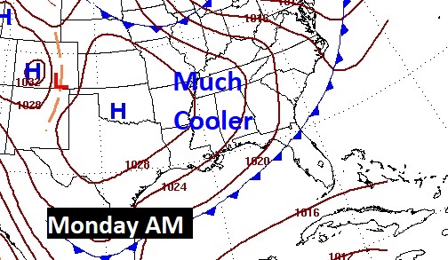
Good Morning! Our news getting better. Cooler air will overspread the state, which will lead to a very nice weekend forecast. As Eta crosses Florida and heads for the Atlantic, it appears we will be free of tropical threats for the next several days. And, on the horizon, a second cool front late Sunday will deliver an even cooler airmass as we begin next week. Storm-free for several days. I’ll fill in the details on today’s video.
We start off with cluds, but gradually work into sunshine. Cooler less humid air is overspreading the state. Jacket weather tonight.
Stage two of the cooler air arrives by Sunday evening and a dry cold front sweeps through. Much cooler air starts the new week.
Timing is everything. That front which moved through, and carried ETA away from us, is setting the stage for a great weekend. Even cooler air arrives for the beginning of next week.
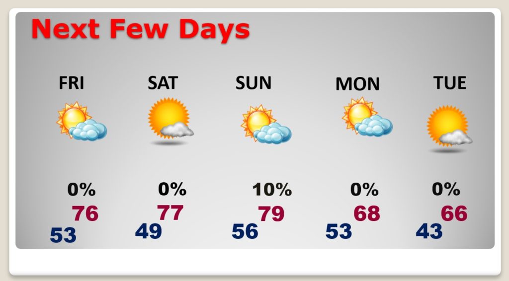
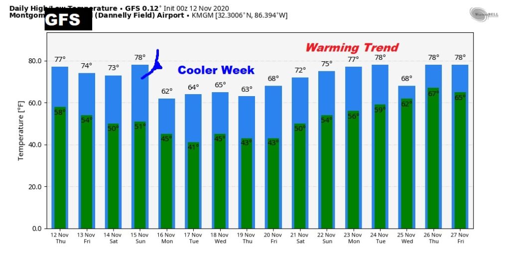
This is just Raw model guidance. We’re just looking a trends. Cooler next week….then a warming trend for the following weekend.
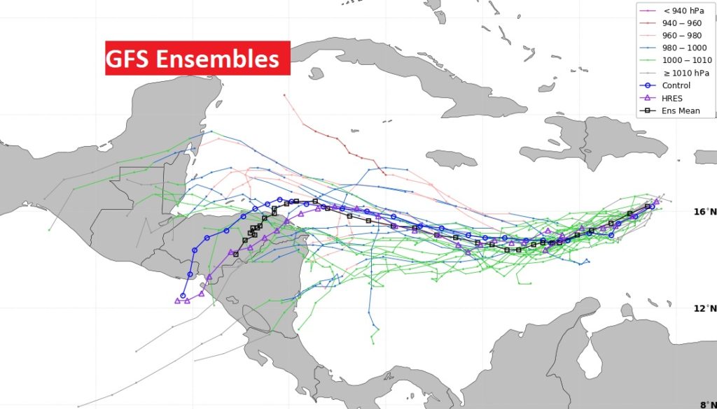
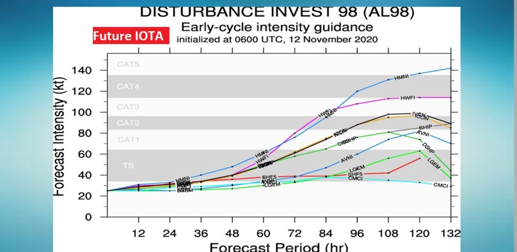
We’re watching, with great interest, the future of Invest 98-L in the Caribbean. It’s likely to get the name IOTA, and it could become a Major Hurricane as it aims for Central America.
