Good morning! Today will be the 11th day with no rain. Our November total in Montgomery is a historic .05” so far. But, things are about to change as we get into a more active pattern in the week ahead, with two storm systems in our future.
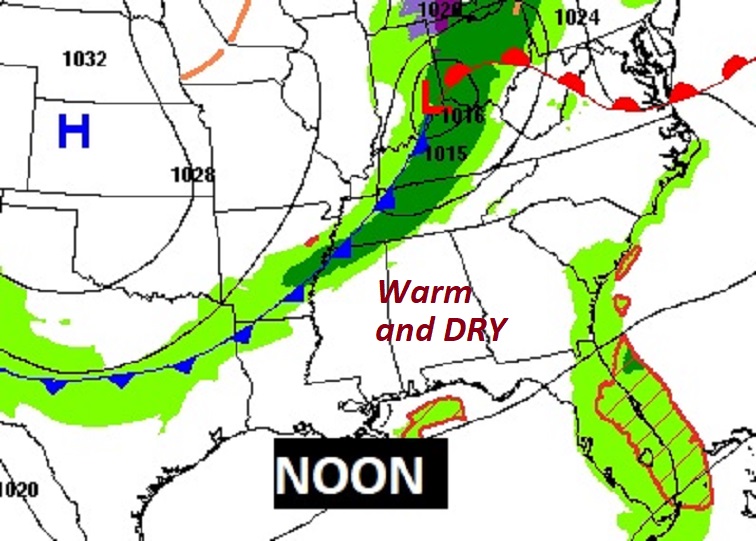
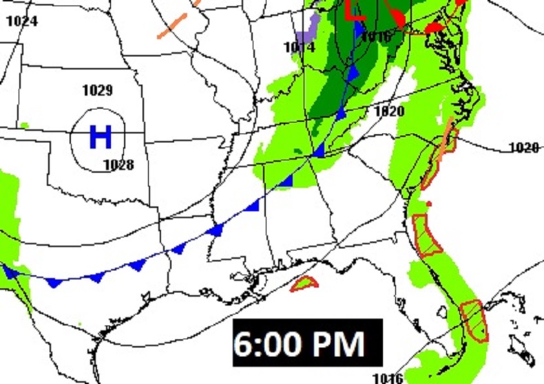
Today is dry and warm again. A weak cool front sweeps through the state tonight. We’ll be a little cooler on Monday. But we still have our eyes on that Thanksgiving Eve storm system. It will be our first significant storm system in November. How strong? Severe weather threat? Will it stall on Thursday morning? How will that affect Thanksgiving? I’ll try to address all those questions below.
TODAY: Dry and warm again. Mid 70’s. More clouds than sun. Low tonight 51. That weak cool front that sweeps through the state tonight will be “moisture starved”…a dry front.
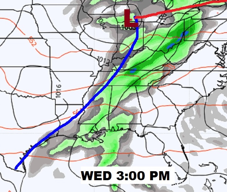
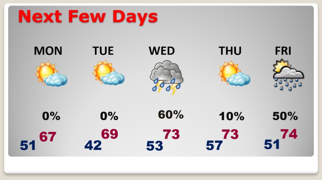
NEXT FEW DAYS: Monday will be cooler behind the front. Tuesday will be a nice day. Showers and thunderstorms are likely Wednesday night. Timing of the front is very important to the Thanksgiving forecast. Right now, I am cautiously optimistic. Friday showers are “iffy” right now. More on Irown Bowl Weekend below.
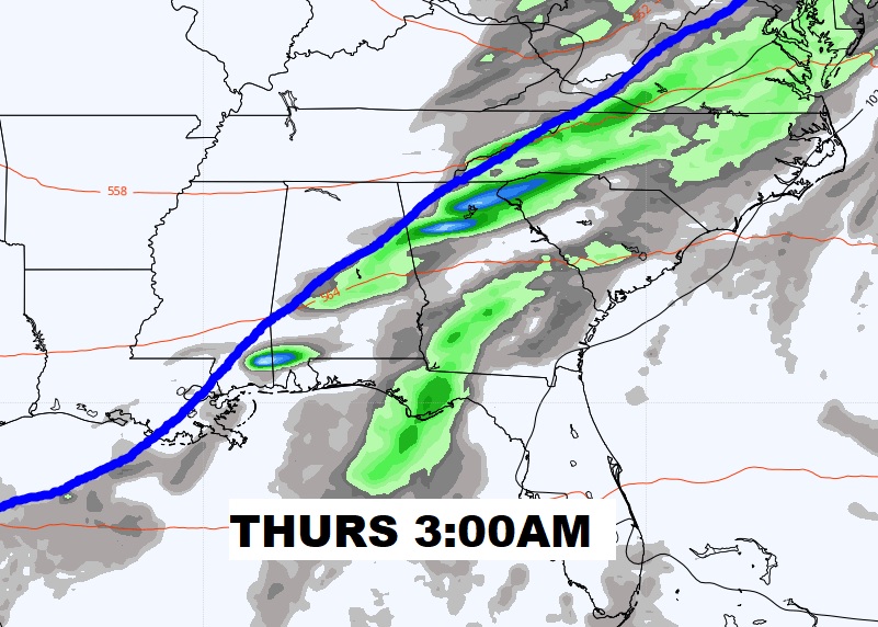
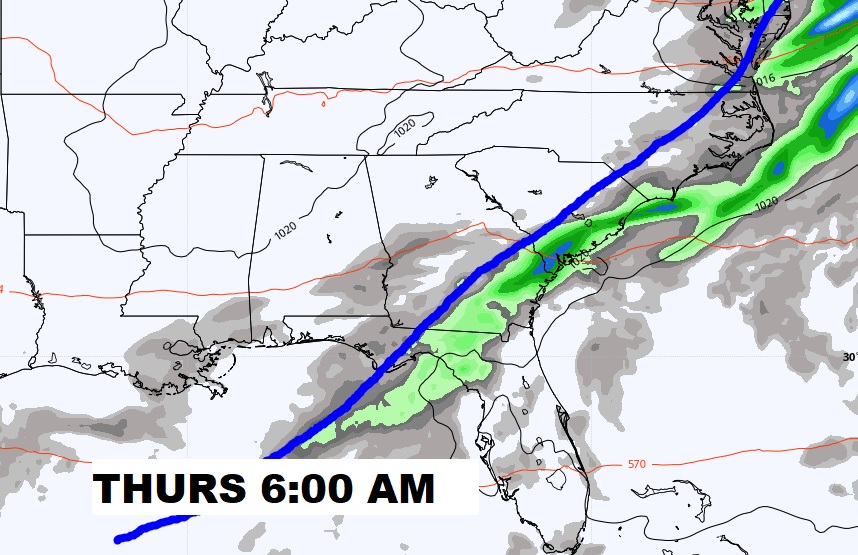
Here’s a coupe of models snapshots, showing the frontal movement from Wednesday afternoon through the early morning hours on Thursday.
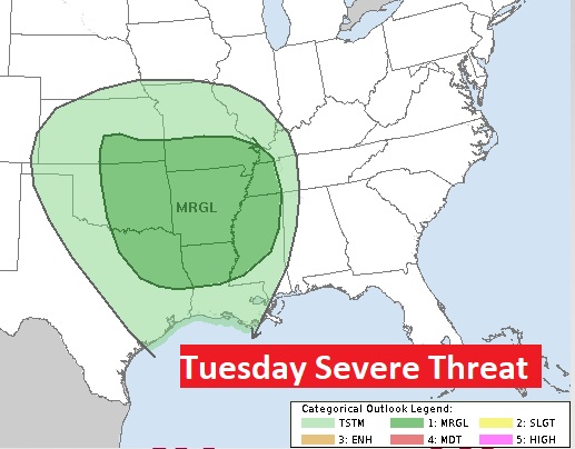
Will this system have a severe weather potential? The answers is.. MAYBE. It’s too early to make that pronouncement. However, we note that SPC has a Marginal Severe Threat west of us on Tuesday. I would NOT be surprised if they eventually add a Wednesday Marginal (Low end) severe threat for us Wednesday. Stay tuned.
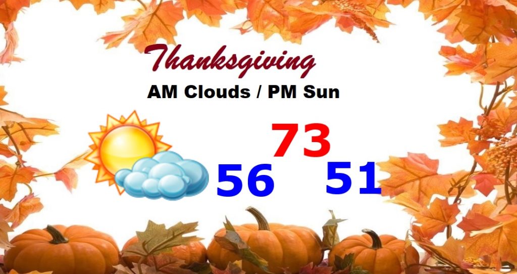
Here’s Thanksgiving morning, showing the front hopefully clearing the state. That’s “iffy”. The Thanksgiving forecast is subject to review, but I am cautiously optimistic. Perhaps a leftover shower before 7AM.
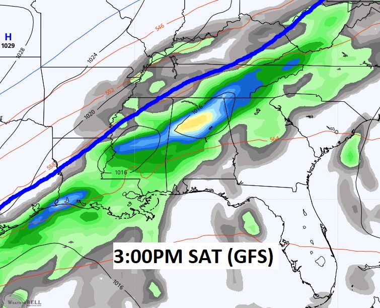
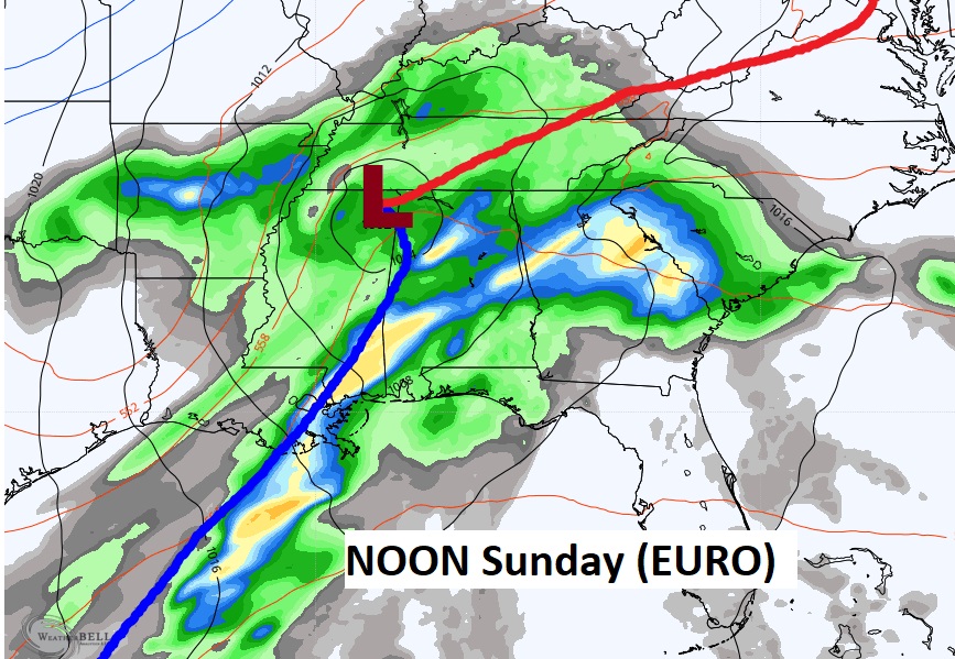
IRON BOWL WEEKEND STORM SYSTEM?: Call me crazy, because I’m about to speculate about a storm system a week away. The models agree that there will be a storm system next weekend…perhaps robust. But, the models do not agree on timing or strength, at all. The GFS is fastest. It brings the better chance of showers & storms on Saturday. The EURO is slower and more disturbing. It shows a potential severe weather threat by Saturday night or early Sunday. Stay tuned. As you probably know, we are in the heart of the Fall Severe Weather/Tornado season. We’ll watch this storm system all week.
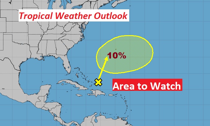
TROPICS: Kinda quiet. One system in the Atlantic, northeast of the Bahamas with a small chance of developing into a sub-tropical storm later this week. Next name is Kappa.
Good Morning!:
—
I’ll have a complete video update in the morning. Enjoy your Sunday.
–Rich

