
Good Morning…Due to the ongoing nature of the overnight/early morning severe weather risk, I had to switch to a BLOG update, rather than a video, as I continue to monitor the southward progress of a line of storms. Overnight, there was a tornado touchdown in Jefferson county. Apparently the most significant damage was in the Fultondale area. (10:43 PM).
20+ homes “nearly destroyed” or heavily damaged. There were several warnings issued across north Alabama during the overnight hours.
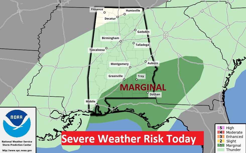
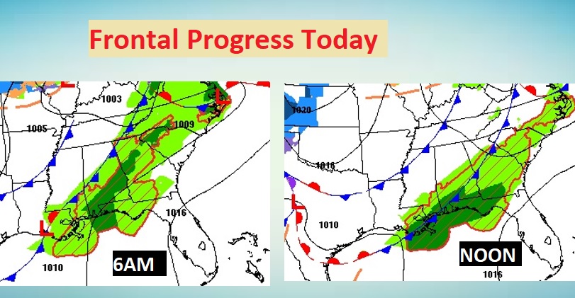
SEVERE RISK TODAY: After 6AM the Severe Threat shifts into southeast Alabama.
The front will move closer to the coast by about Noon.
Behind the line of strong storms, spotty showers are possible from time to time for the rest of the day. Today’s high 74.
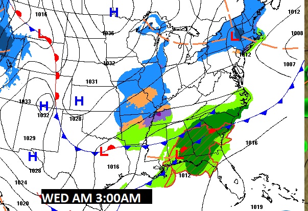
TONIGHT AND WEDNESDAY: Low pressure will develop along the front tonight and Wednesday, which means showers and storms will return northward later tonight and Wednesday.
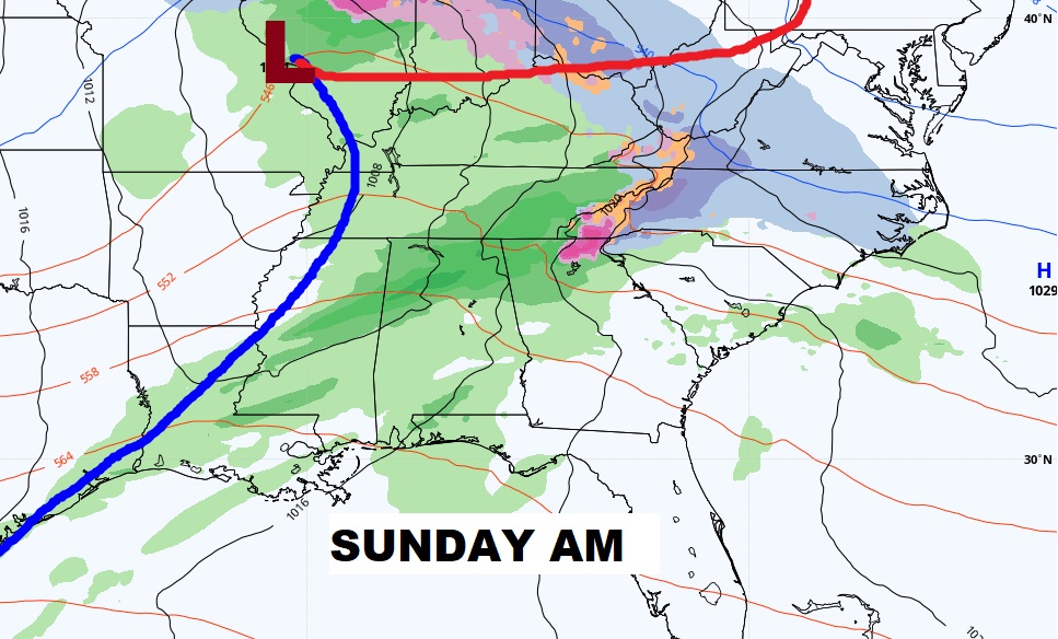
NEXT FEW DAYS: After the rain ends Wednesday mid-day, much cooler air will overspread the state. Windy & colder Wednesday night and Thursday. We could fall to upper 20’s by Friday morning. Warming trend Saturday. Another storm system will move in Saturday night into Sunday.
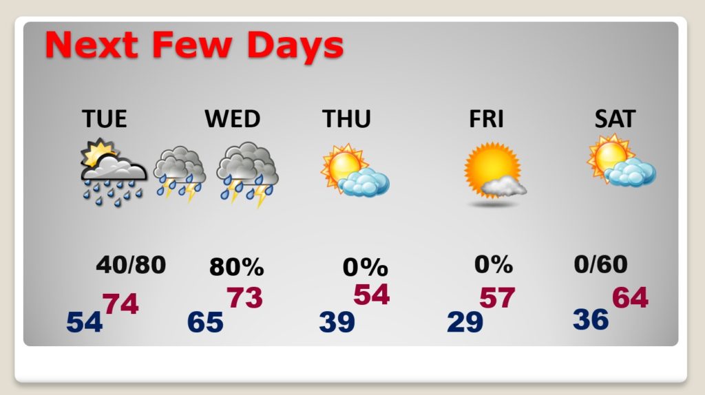
Will the storm system be severe? Too early to say.
We’ll get back to the “normalcy” of a full video update tomorrow morning. Stay Weather aware.
–Rich