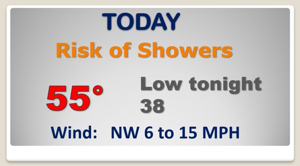
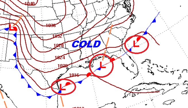
Good Morning! Periods of rain are in the cards today and Saturday, as disturbances slide along the Gulf Coast. Temperatures will moderate Sunday through Tuesday. But, everybody wants to know. When will that Arctic Air start to effect Alabama? And, will we have to deal with any nasty winter precipitation? There are more questions than answers, but on this video will sort through the possibilities.
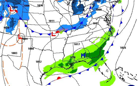
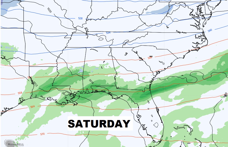
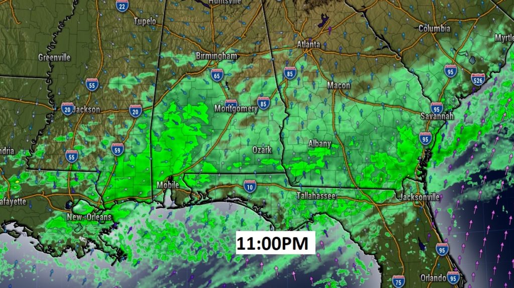
Periods of rain Today, Tonight and Saturday, as disturbances roll eastward along the northern Gulf Coast..
Future Radar late tonight.
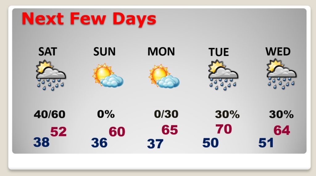
BEST Day of the weekend will be Sunday. Warming trend continues Monday & Tuesday. Risk of showers Tuesday and Wednesday.
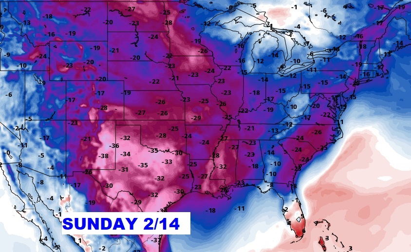
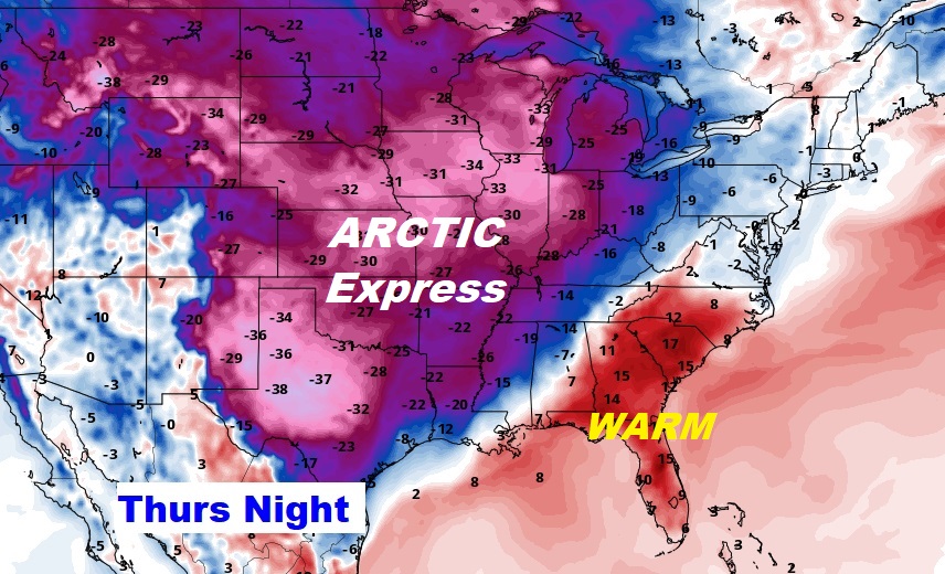
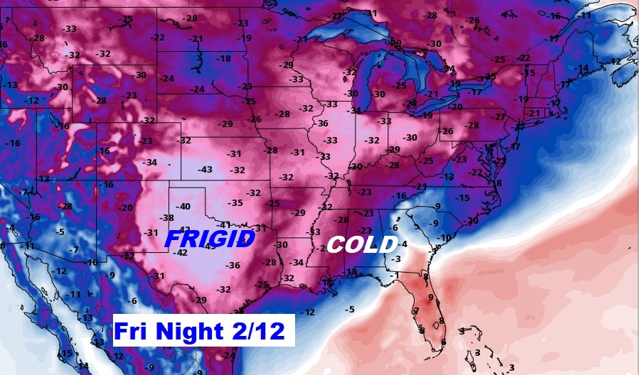
The Arctic airmass will eventually reach Alabama, but when? Models disagree. Here’s the GFS showing the Arctic Front moving through next Thursday evening.
When the cold air is in place, all it would take would be some Waves of Low pressure in the northern Gulf to cause some potential Winter Weather Precipitation problems in Alabama in a time frame from Thursday night into early Saturday. That’s too far out to make a forecast. It’s not out of the question. Stay tuned. We’ll know more when we get closer.
Looks like a very cold Valentine’s Day weekend.
