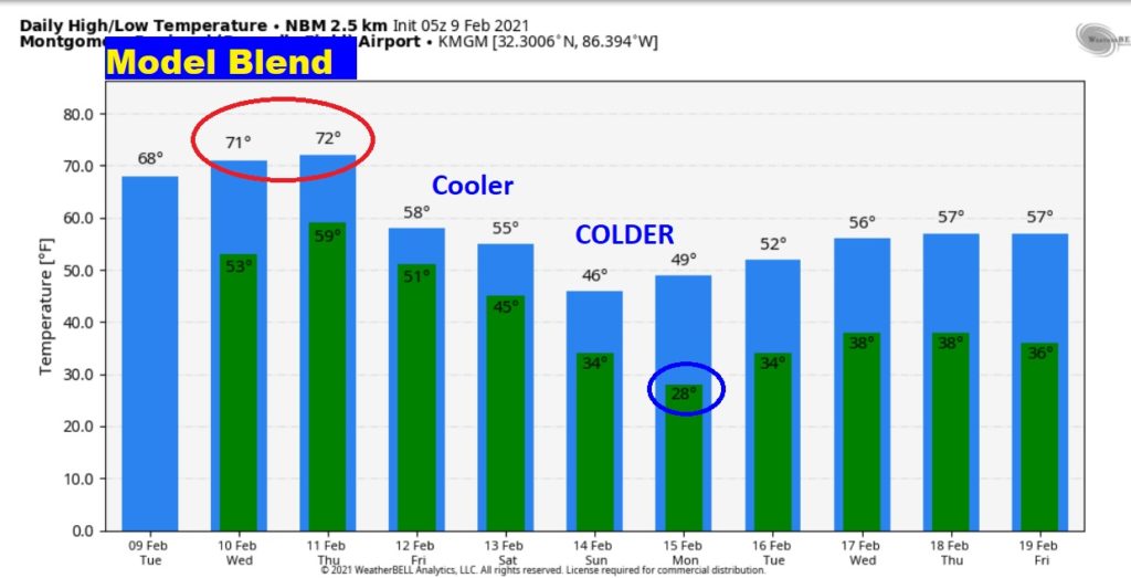
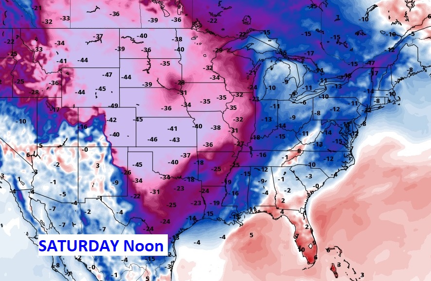
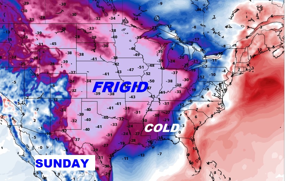
Good Morning! Showers & storms are moving through the southern half of the state this morning. The risk of showers continues in the forecast for the rest of the week. The main storm system will move in Thursday. Meanwhile, the warming trend continues. We’ll reach the 70’s Wednesday and Thursday. But, it still looks like a trend to cooler, then much colder over the Valentine’s weekend, as we continue to track the saga of the Arctic Express. We will “sample” the cold air, but the brutal core will miss us. I’ll explain the details on today’s video.
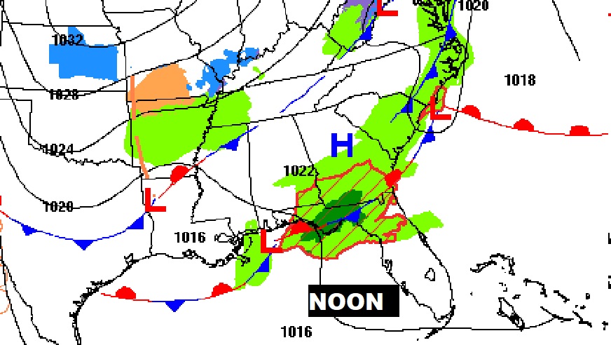
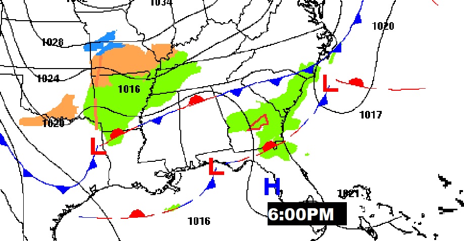
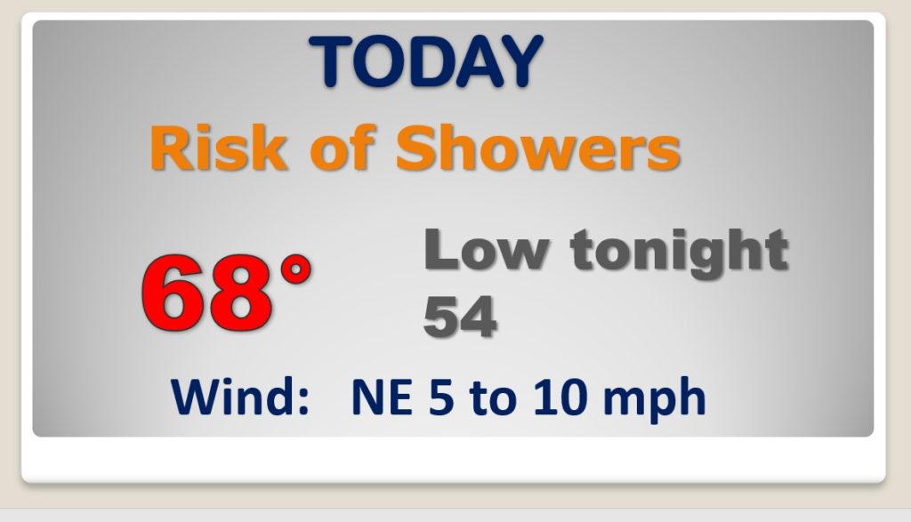
Scattered showers and thunderstorms will be around this morning. Then, spotty showers this afternoon, as low pressure cruises along the Gulf Coast. Warmer today. Upper 60’s. Mild 50’s tonight.
The main storm system this week will affect us Thursday. Showers and thunderstorms. I can’t rule out a few stronger storms.
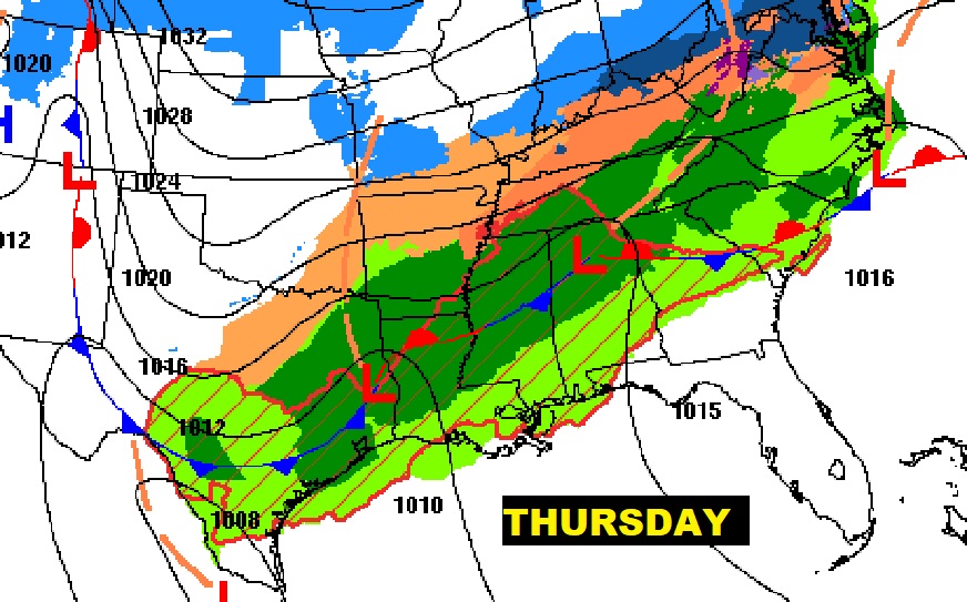
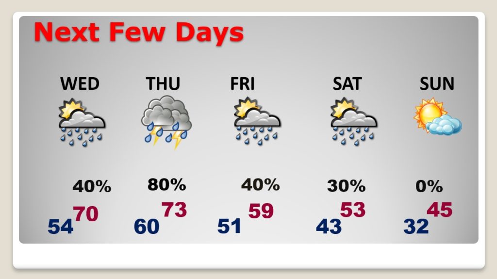
Warming trend continues through Thursday. The main storm system this week will affect us Thursday. Showers and thunderstorms. Turning cooler starting Friday, then colder Saturday and much colder Saturday night into Sunday.
The battle continues, with Arctic Air still dominatingly the US Heartland while the strong sub-tropical ridge is keeping the Arctic Express at bay for now.
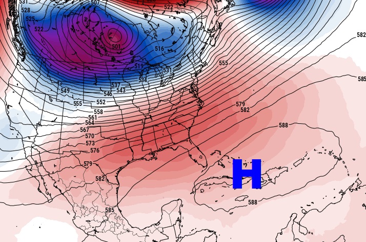
Still looks like we will “sample” some of the colder air by Saturday night into Sunday and Sunday night. But, the core of the Frigid Air will stay well west and NW of us.
Coldest day will be Valentine’s Day with highs in the 40’s (according to model trends) (we’ll see) Possibly 20’s Sunday night. Stay tuned for any changes.
