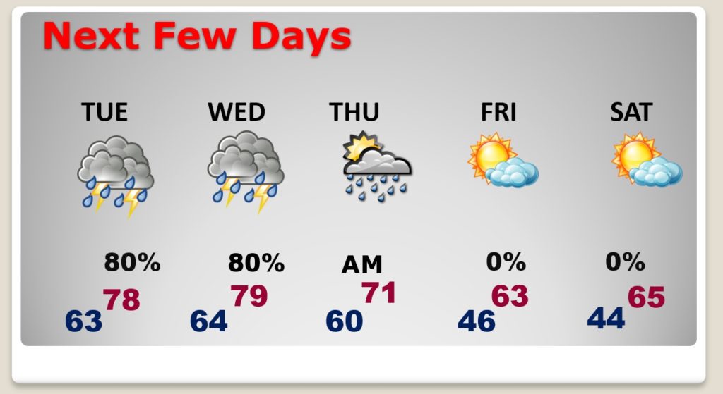
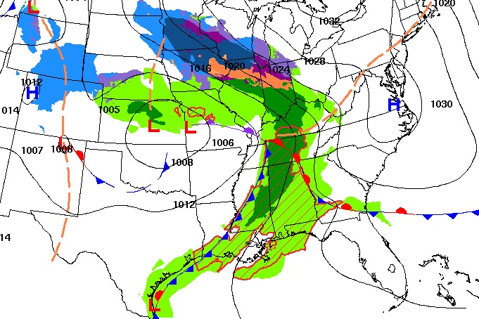
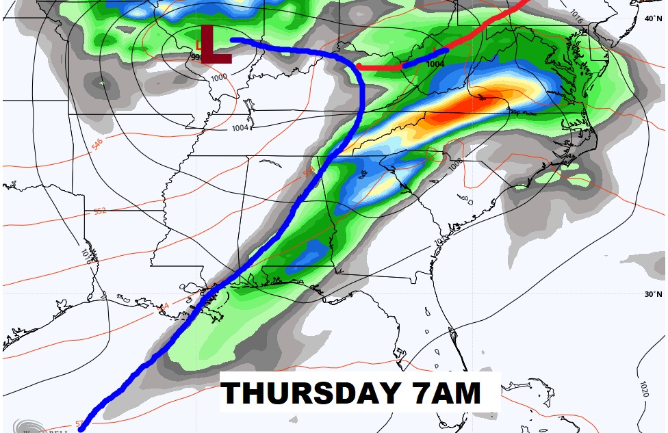
Good Morning! We are getting into a very active weather pattern for the next few days. Showers and thunderstorms will dot the radar starting today. By Wednesday, Alabama and surrounding states are facing a significant Severe Weather Threat. Enhanced Risk. All modes of severe weather are possible, including a tornadoes. On today’s video I’ll have the latest from the Storm Prediction Center and we’ll look at timing and risks. After the storm…much cooler late week.
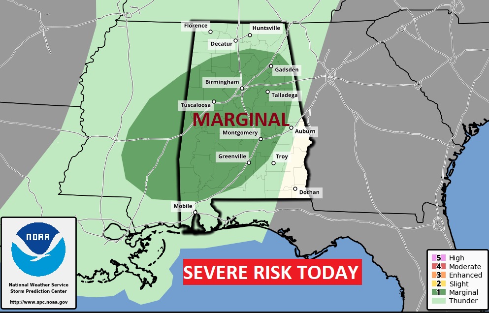
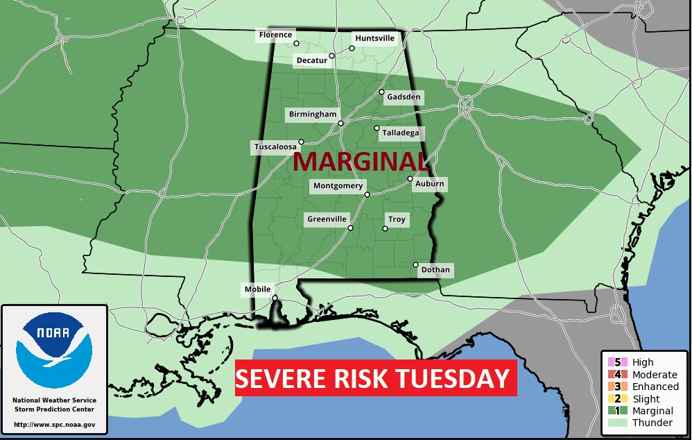
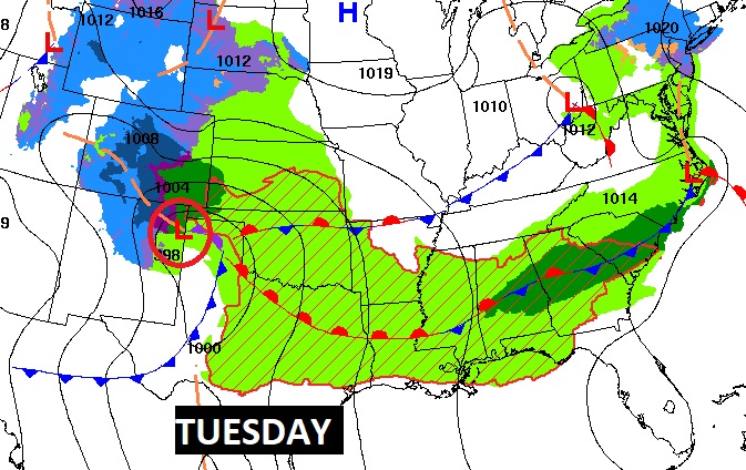
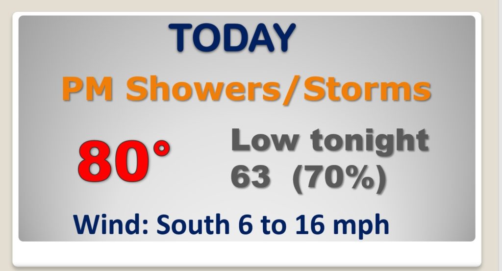
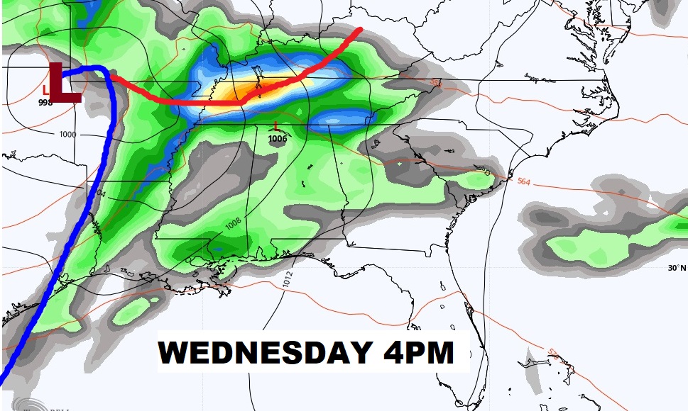
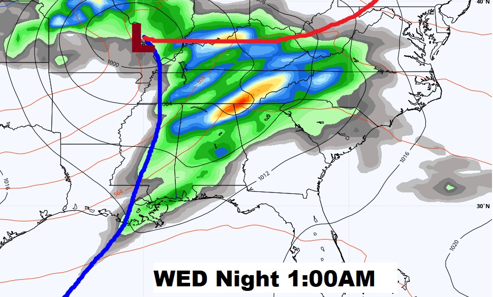
Showers and thunderstorms return to the area today. Especially this afternoon & tonight. The front hangs up in central Alabama on Tuesday. A few strong/severe storms are possible today and tomorrow. The main threat is damaging wind gusts. The main event this week is the Severe Weather Threat from Wednesday afternoon through the overnight hours Wednesday Night.
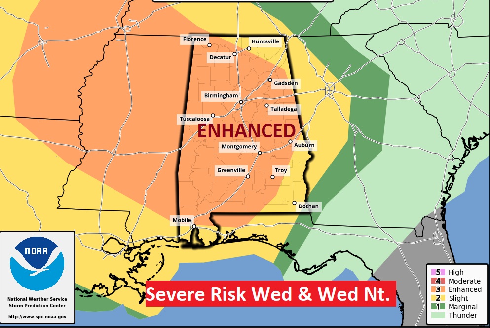
From the Storm Prediction Center, we have a rather significant Level 3 ENHANCED Risk by Wednesday afternoon and Wednesday night. All modes of severe weather are possible including tornadoes.
After the Wednesday Severe Weather event, much cooler air follows the storm system. At the moment, next weekend looks storm-free and dry.
