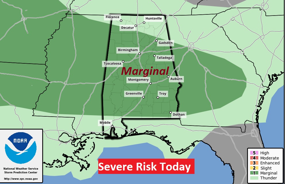
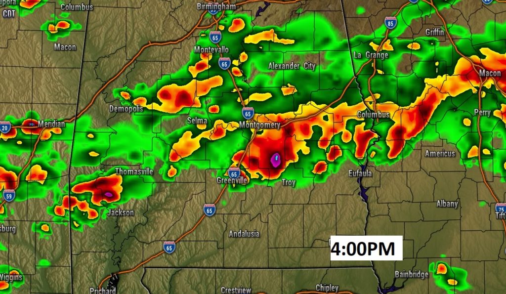
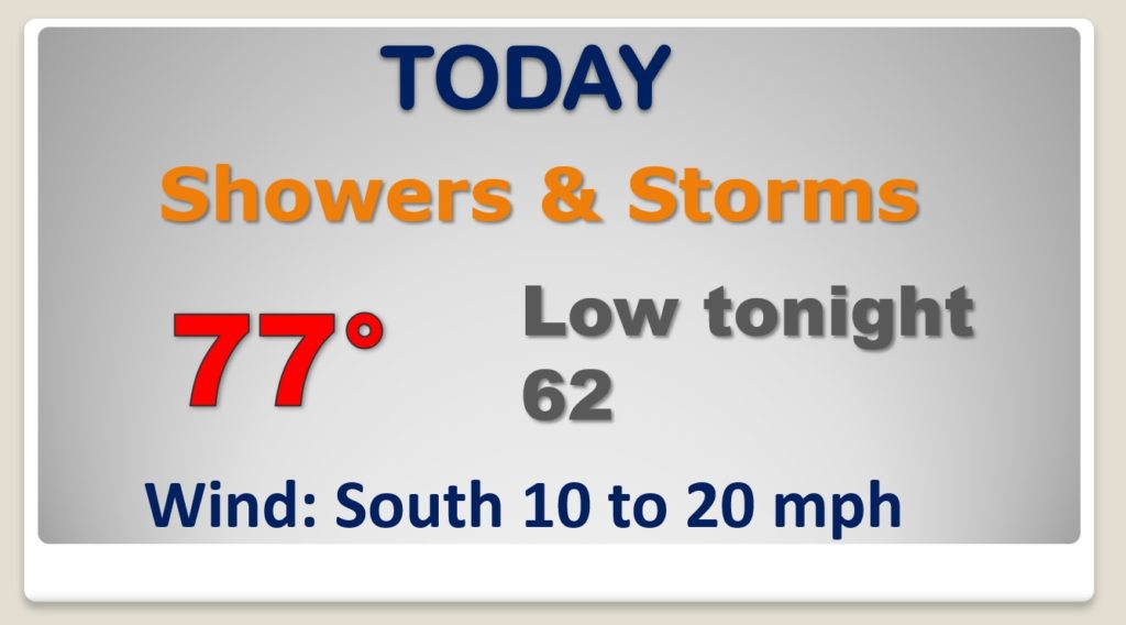
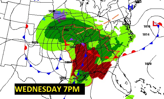
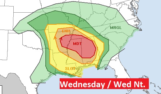
We are in a Marginal Severe Risk today, with the risk for damaging wind gusts, but we are poised for a significant and dangerous severe weather outbreak Wednesday and especially Wednesday night. Strong tornadoes are possible. We are in a Level 4 (out of 5) MODERATE Risk, and unfortunately the overnight hours will add to the level of danger. On this video, I’ll bring you up to date on the details, the risks and the timeline. Now is the time to start preparing for this significant threat.
Today’s Marginal Severe Risk involves mainly a damaging wind threat, although a brief tornado can’t be ruled out.
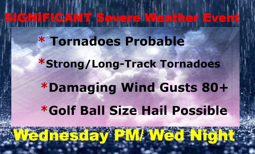
Wednesday and especially Wednesday night, a potent storm system in the middle Mississippi valley will be the catalyst for a significant severe weather outbreak, effecting parts of 10 states, including a large Level 4 Moderate Risk.
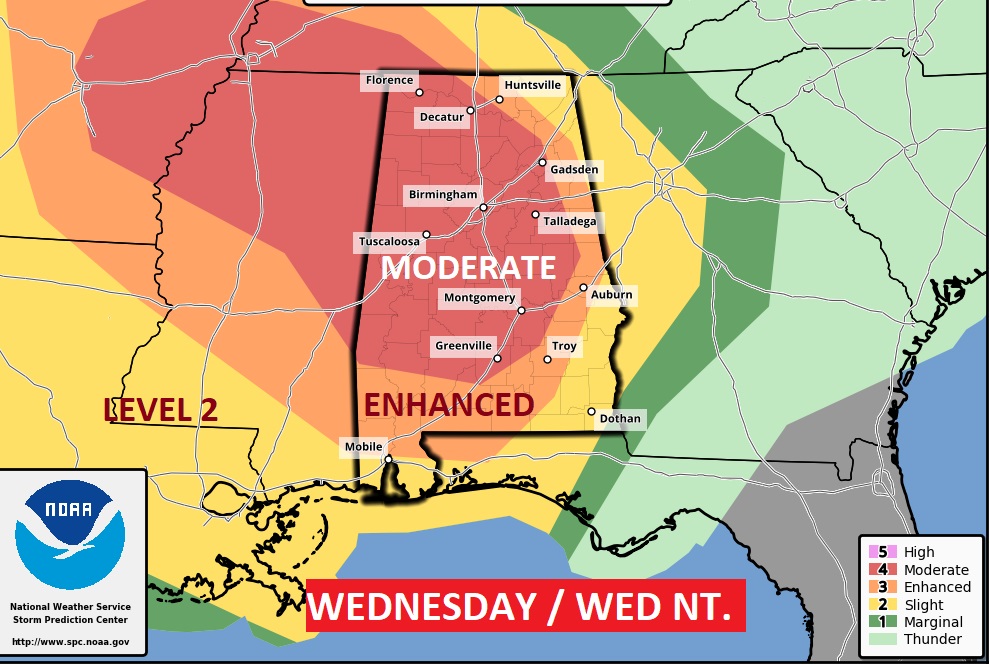
Strong, long track tornadoes are possible. The fact this threat will continue through the overnight hours makes this an even more dangerous situation.
After Thursday morning, things will quiet down. Much cooler air follows the storm. The weekend will be storm-free.
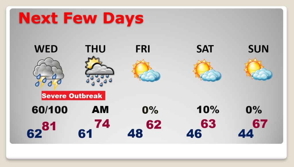

SIGNIFICANT SEVERE WEATHER EVENT LIKELY WEDNESDAY THRU EARLY THURSDAY:

A Moderate Risk of severe storms is now expected, with the possibility of this being a long-duration event. HAVE YOUR SEVERE WEATHER PLAN READY TO GO!! More details here: https://facebook.com/NWSBirmingham/posts/3812691688770219
