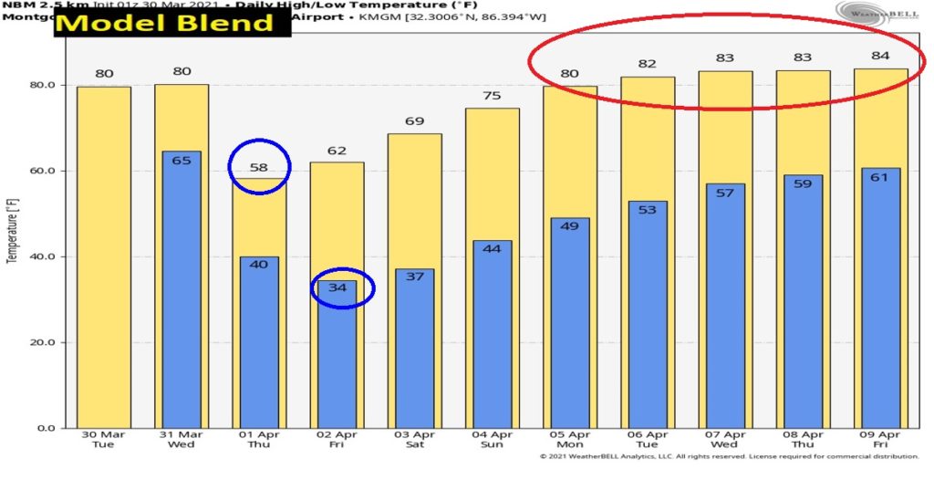
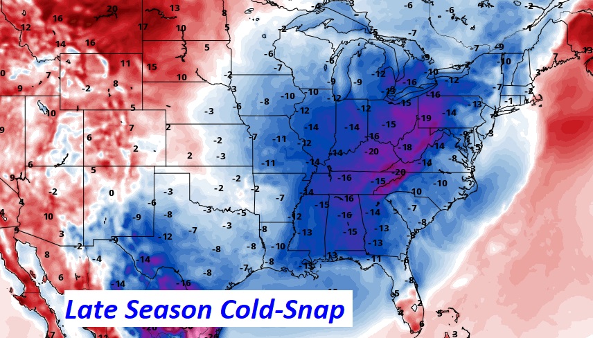
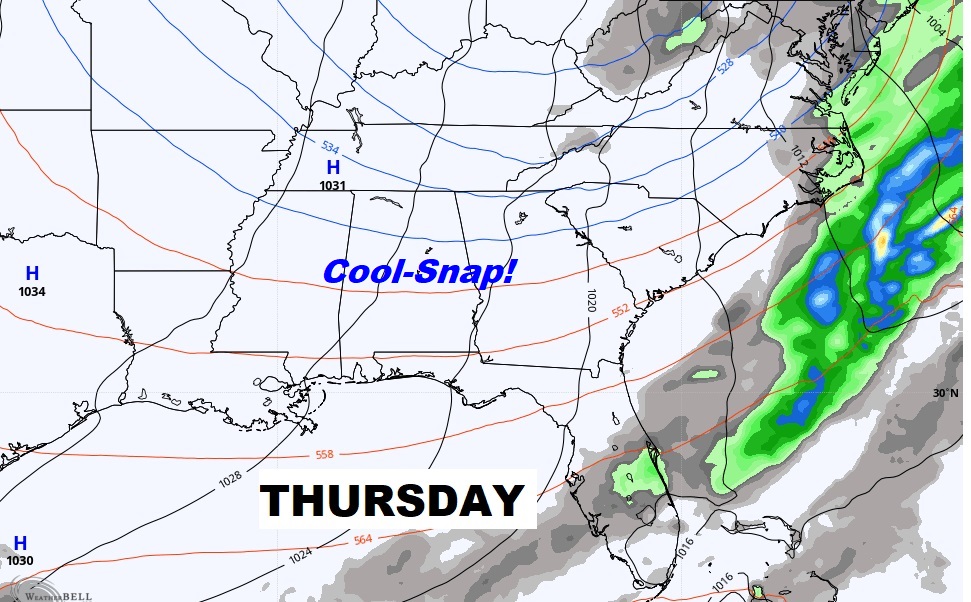
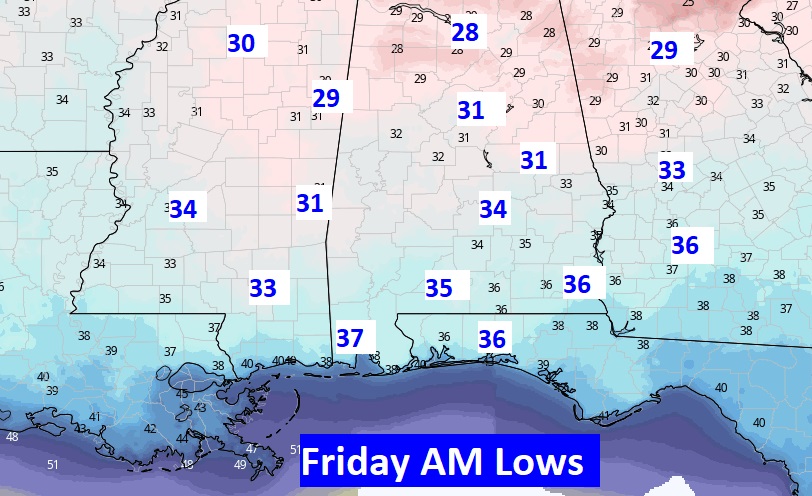
Good Morning! Weather changes are on the way. Scattered storms are back in the forecast today. A strong Cold Front will bring a round of strong storms to the state Wednesday. Get ready for a sharp late season Cold Snap. It won’t last long, but we could be in the 30’s for three mornings. We may tease a record low Good Friday morning with frost. But, on this video, I’ll bring you details of what looks like a spectacular Easter forecast.
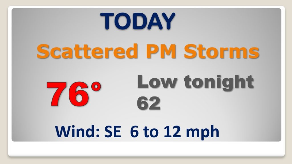
Warmer today. Scattered PM storms are possible.
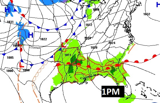
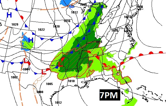
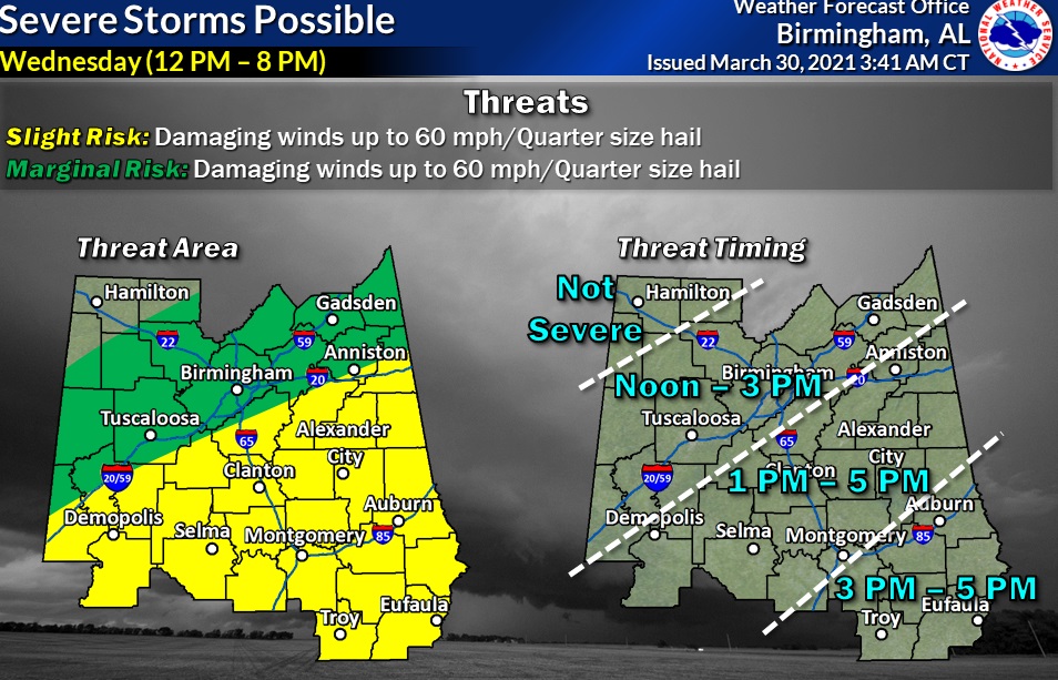
Strong cold front brings strong to severe storms Wednesday afternoon. Level 2 risk, now.. Damaging wind gusts area the main risk. A tornado or two can’t be ruled out.
Sharply cooler air flows in for Thursday. Highs only in the 50’s. Normal high is 74.
Showers and storms Wednesday. Sharply cooler Thursday. Patchy frost and near record low Friday AM. Warmer by Saturday and Easter Sunday PM.
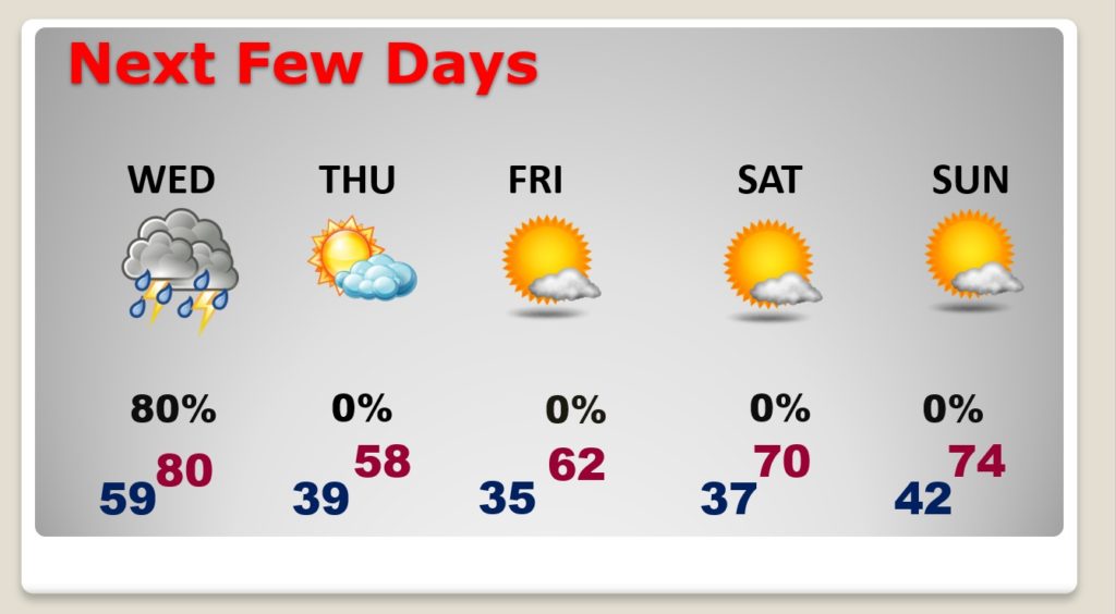
The Montgomery Record Low Friday morning is 33 from 1992. We’ll be close. Frosty morning.
Spectacular Easter Sunday.

After the BRIEF but significant cool-snap….look for significant warming to start Easter Sunday and continue all next week.
