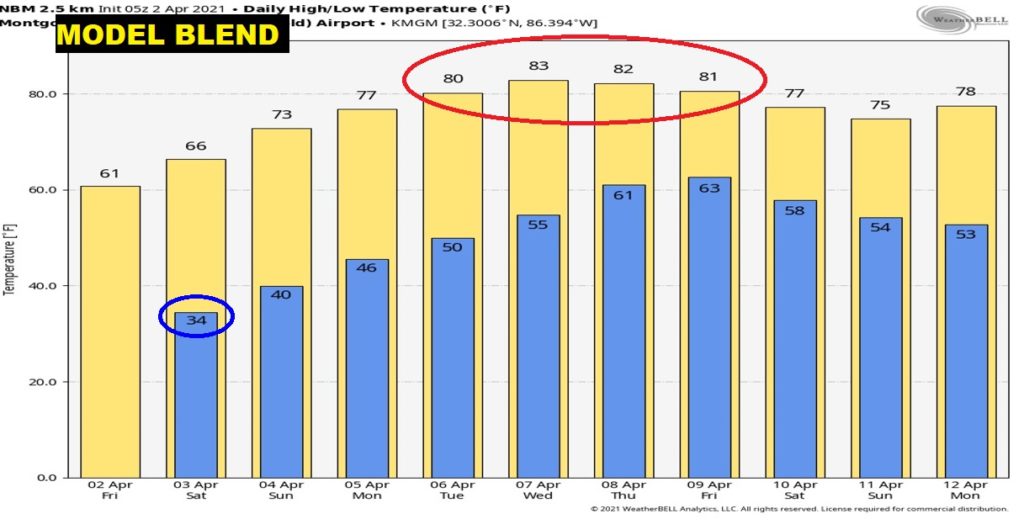
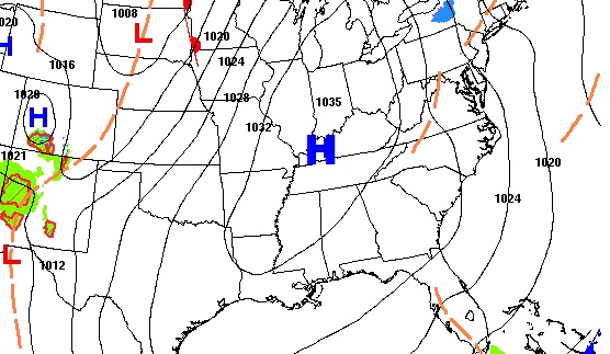
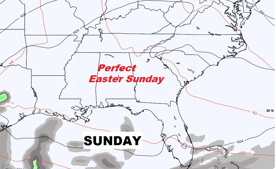
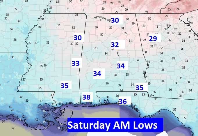
Good Morning! The calendar says April, but we are in an unusual late season cool snap more like early March. We’ll be close to freezing and a record at Dawn this morning. And, tomorrow morning, we’ll be very close to the same neighborhood with more frost. The days will continue WAY below normal through Saturday. But, the Easter Sunday forecast continues to look nearly perfect. How long will the storm-free pattern last? We’ll look ahead. I’ll fill you in on a nice warming trend next week.
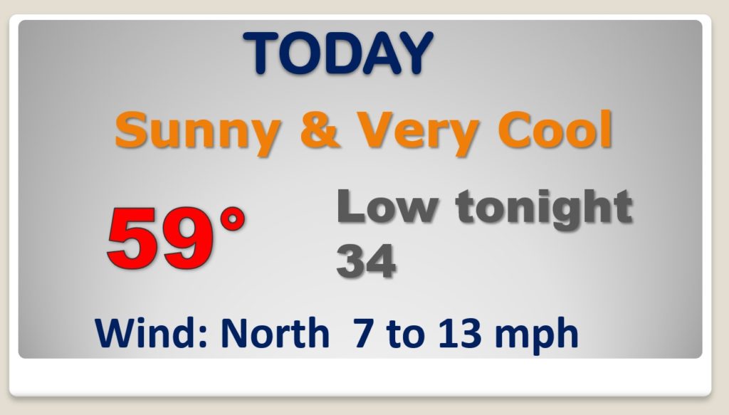
The normal high is 74. Today we’ll be at least 15 degrees too cool. Rare late season cool-snap continues. Tonight we’ll be bac in the low 30’s. Frost again.
Way too cold tomorrow morning….AGAIN.
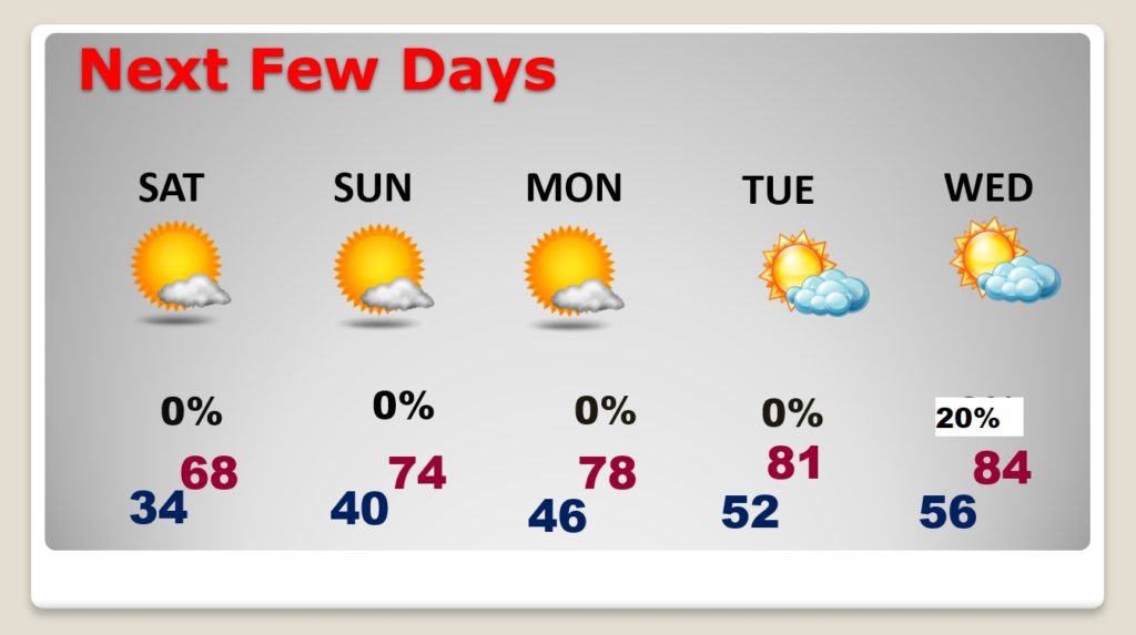
Great Easter Sunday forecast.
Warmer by Easter Sunday afternoon and Monday. Storm-free through Tuesday.
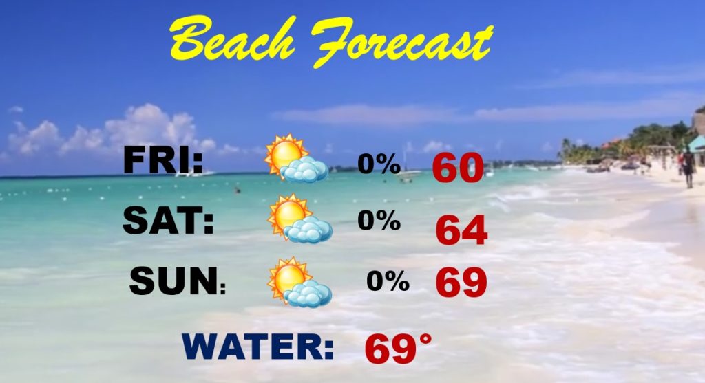
Too cool for the beach this weekend. 30’s tonight. But, it won’t rain.
After this cool-snap is in our rear view mirror….next week will be warmer.
