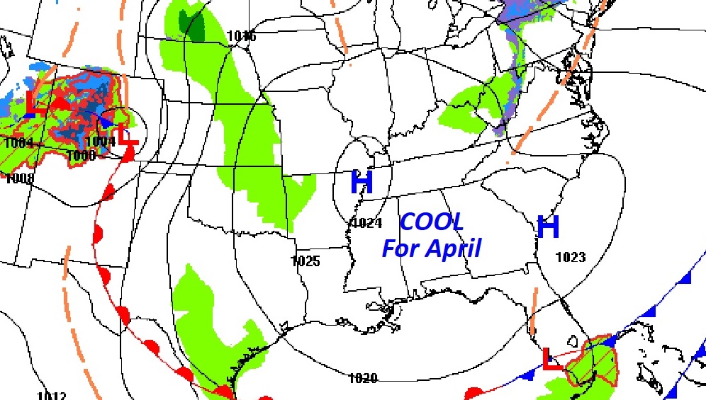
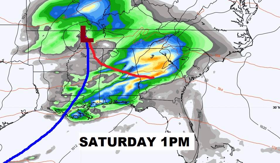
Good Morning! Our late season Canadian Chill will gradually start to fade over the next couple of days. We may be close to a record low by Dawn this morning, but a warming trend will start tomorrow. All eyes on the next storm system. Showers and storms will arrive in the overnight hours Friday night. Saturday could be quite stormy at times. The Storm Prediction Center says some of the storms could be severe. On this video I’ll do my best to break down the details. Regardless, Sunday looks to be a much nicer day.
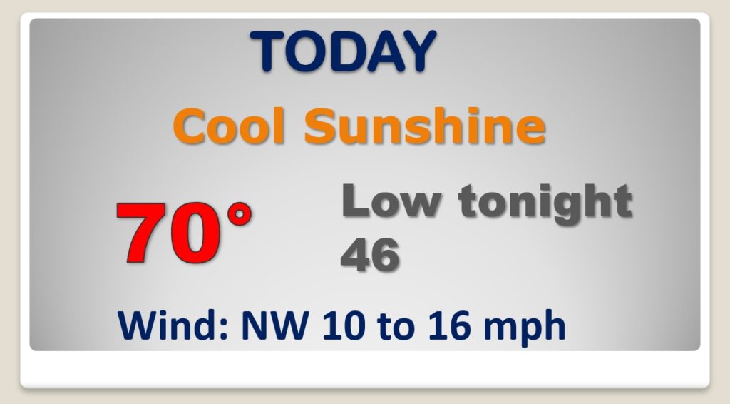
COLD start this morning, and another cool day is on the way. It will be breezy, but not as windy as yesterday. Cold again tonight.
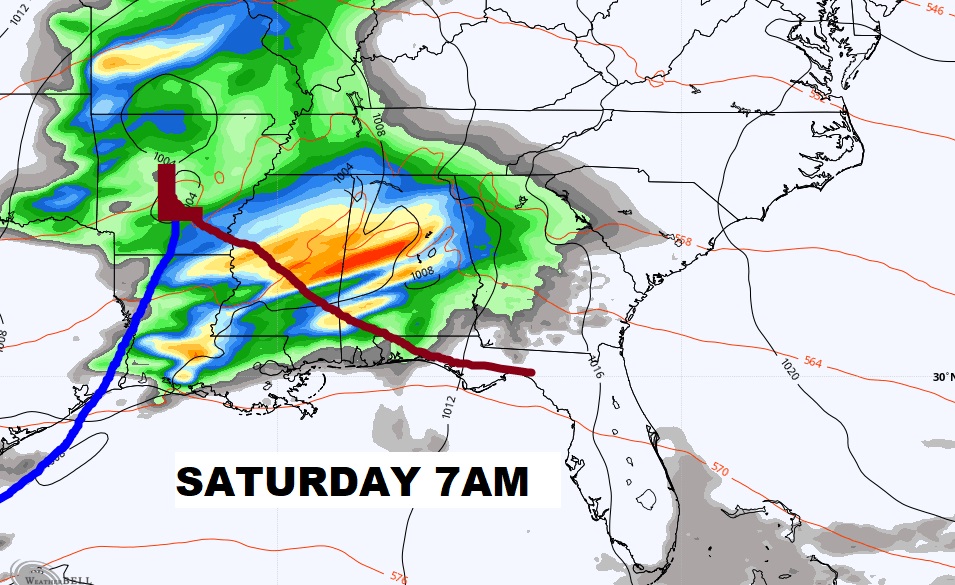
Severe Weather Threat is looming for Saturday. Perhaps even two rounds. 1) Saturday morning, along a northward moving warm front. And perhaps another round Saturday afternoon.
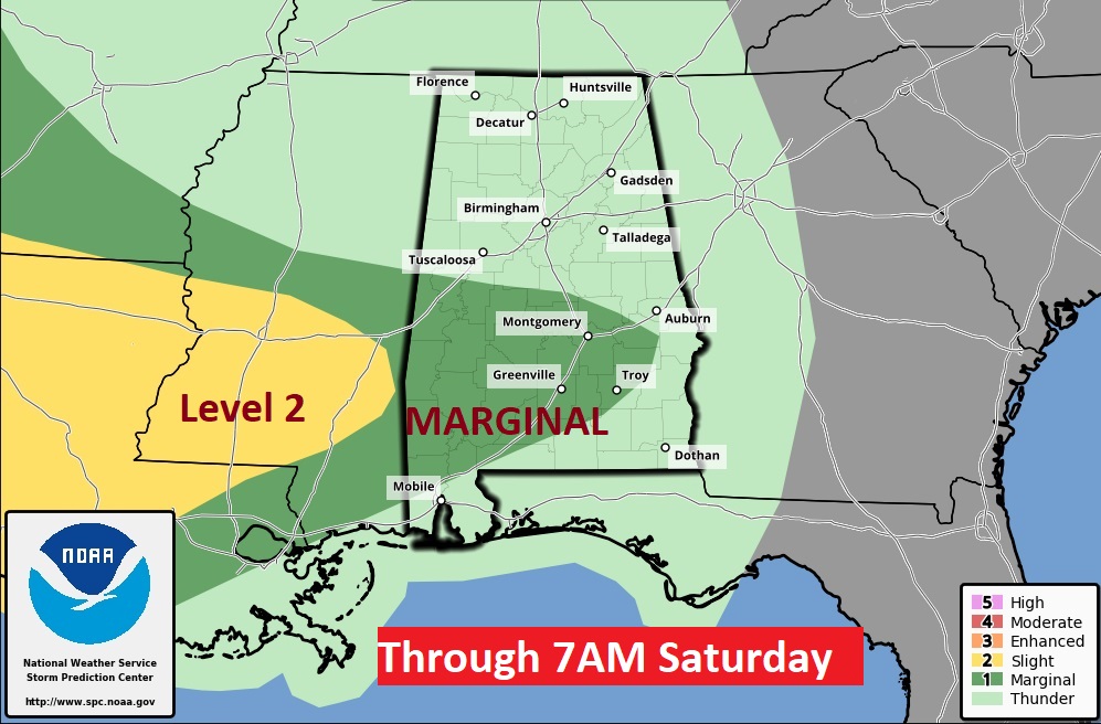
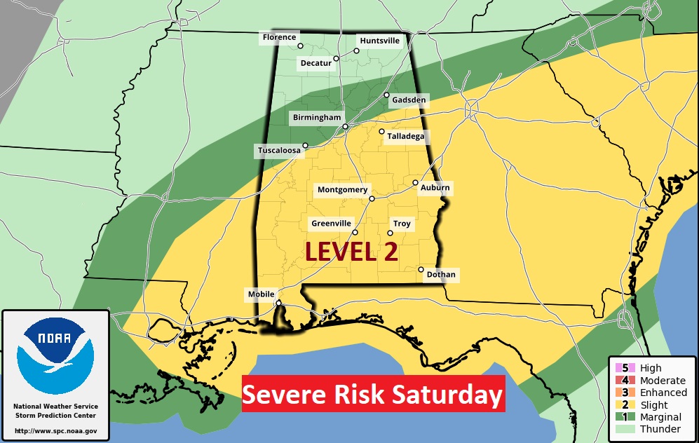
The Storm Prediction Center Day 2 outlook which extends until 7AM Saturday morning, already shows a Marginal Severe risk for parts of Central and South Alabama. The Day 3 outlook which covers the rest of the day Saturday now shows a Level 2 risk. ALL modes of severe weather are possible including damaging wind gusts, hail and a few tornadoes. A tornado watch is likely,
Showers and storms Friday night and Saturday, some possibly severe. Great day Sunday. Beautiful Monday and Tuesday. Highs back in the 80’s.
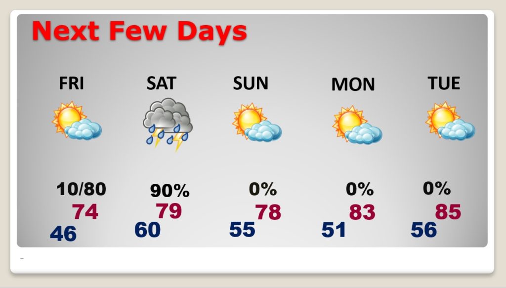
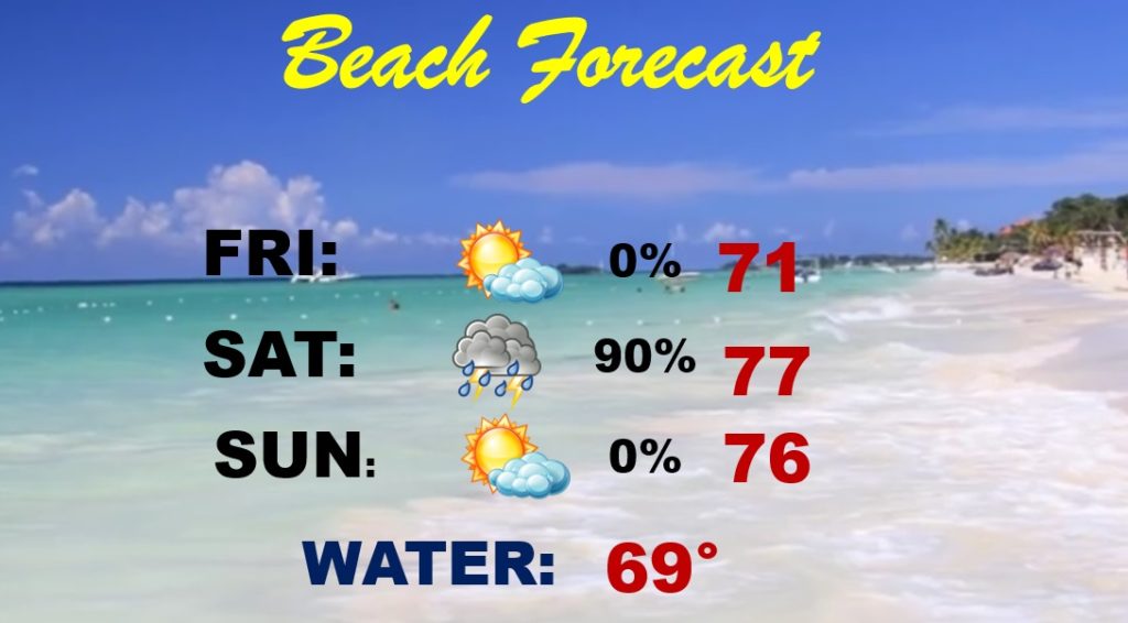
Today and tomorrow are OK at the beach. Showers & Storms Friday night and Saturday. Nice weather Sunday.
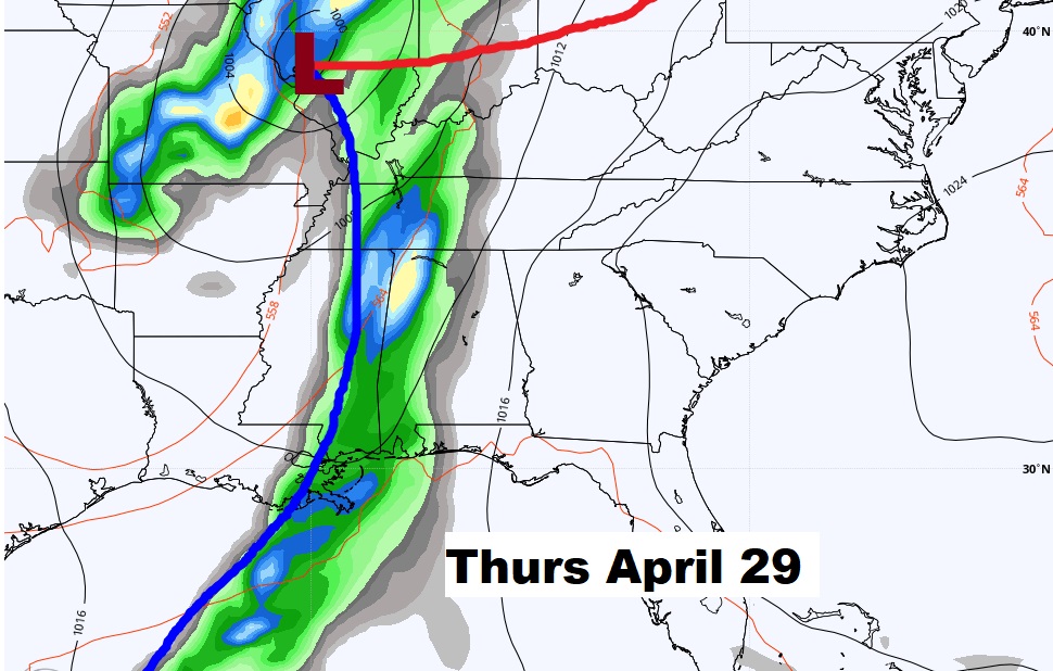
NEXT week. Another storm system around Thursday the 29th. Severe storms? Too early to say. Stay tuneds
