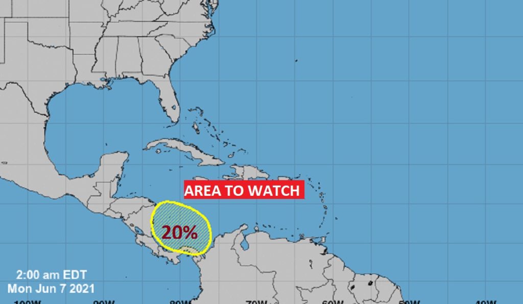
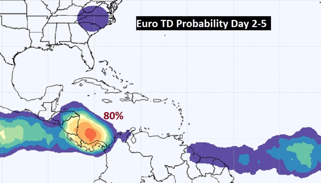
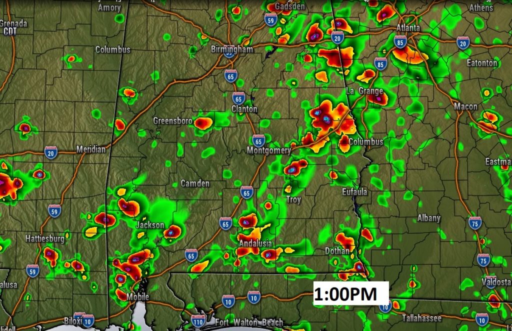
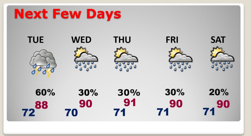
Good Morning! We’re still on the wet side of an Upper Low over the ArkLaTex region. Showers and storms will be widespread across the area again today, tonight and Tuesday. But, by mid-week our weather will start to change. We’ll be returning to a more typical June pattern with hotter days and only random hit or miss storms. I have updated the rain chance for the rest of the week. I have the latest from the National Hurricane Center. They are monitoring an “Area to Watch” in the Caribbean.
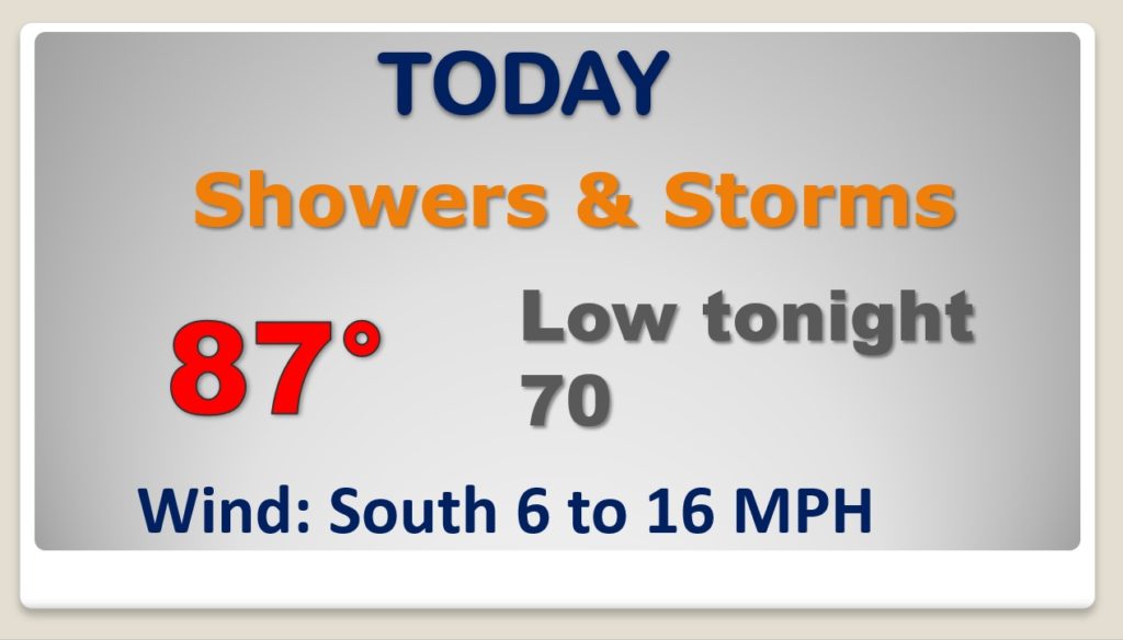
Showers and storms will be widespread again today, tonight and Tuesday. We’re still on the wet side of the Upper Low.
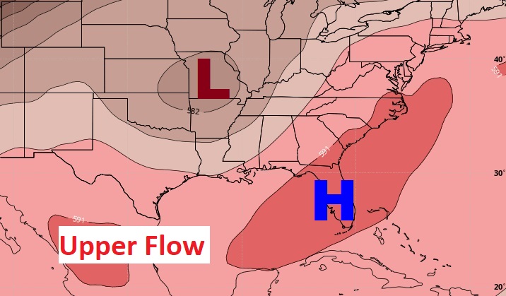
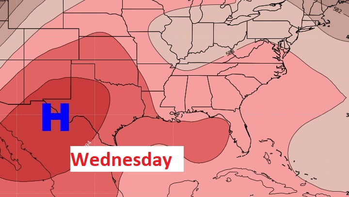
By mid-week, the upper low will be gone as high pressure builds above us, and we return to a more typical June pattern.
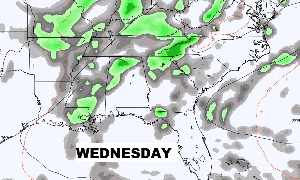
Wet through Tuesday. Storms thin out mid and late week. Hotter.
NHC is monitoring and Area to Watch in the Caribbean.